
Marshall said some models suggest the West Coast will be in the firing line for the system, and others say the weather could be confined to Northland and Auckland.
“It really depends on how the guidance will shape up in the next couple of days … there’s also a chance it might miss us entirely,” Marshall said.
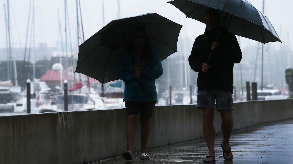
A tropical low tracking towards New Zealand could trigger a dramatic change in the weather. Photo / MetService
“I do think there’s a lot of people who are already worried about it, and I can totally empathise, with what’s already happened this summer.
“For the people who are wary about the next coming severe weather, for now, it’s just potential,” Marshall said.
‘Loads of sunshine’ for most
MetService said a settled weekend with “loads of sunshine” is on the cards for most of New Zealand as a ridge of high pressure settles in.
It said many of the events this weekend will have clear skies, but there is a chance of showers for Synthony in Auckland or Nightglow in Waikato.
On Sunday, MetService said, a band of rain will sweep through Southland, but with the high pressure firmly in charge, there is minimal risk of severe weather for the next few days.
Marshall said Auckland is in for a 25C high tomorrow and on Sunday, before it drops slightly to 23C on Monday.
Wellington should expect a high of 17C tomorrow and 19C on Sunday, and Christchurch is in for highs of 18C and 21C.
MetService meteorologist Michael Pawley said temperatures are starting to feel like autumn.
“The days are getting shorter and cooler; toadstools are beginning to pop up under the trees; and we’ve had a few foggy starts around the country as the ground cools more overnight.”
Sign up to The Daily H, a free newsletter curated by our editors and delivered straight to your inbox every weekday.