
Magwala said the orange warning would be upgraded to red if there was “high impact”.
Streams and rivers could rise rapidly, and surface flooding, slips and difficult driving conditions were possible.
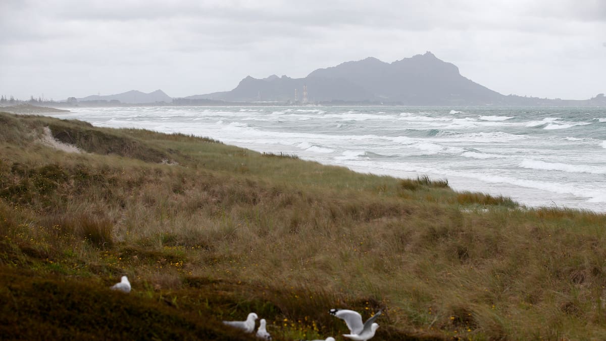
A strong wind watch is also in place for Northland from 6pm tomorrow until 6am Friday, with a moderate chance of upgrade to a warning.
East to northeast winds could approach severe gale in exposed places, with MetService warning yesterday that swells could reach 4m on the northeast coast.
Meteorologist Alanna Burrows explained northeasterly winds were pushing straight on to the region’s east coast.
“They’re pretty large as well with this system … you don’t often see waves of that height for that region,” she said.
Burrows urged people to prepare by checking in on their neighbours, clearing any gutters and securing loose items.
Brodie Stone covers crime and emergency for the Northern Advocate. She has spent most of her life in Whangārei and is passionate about delving into issues that matter to Northlanders and beyond.