
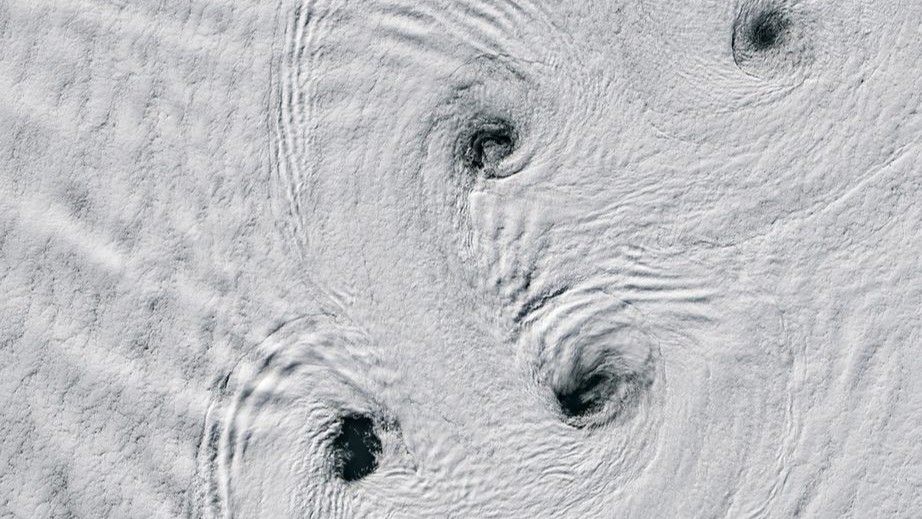
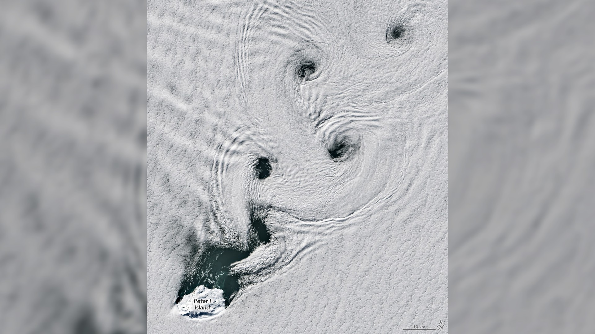
The Von Kármán vortex streaks across the snowy tundra nearby Peter I Island in Antarctica on February 11, 2026. (Image credit: NASA Earth Observatory/Michala Garrison)
The winds across Antarctica’s frozen landscape have carved incredible, swirling vortexes in the clouds above the icy terrain.
What is it?
A pattern of swirling vortexes, called von Kármán vortex streets, can be seen from space spiraling through the clouds hanging over the artic tundra. These vortexes form when fast winds (up to 34 mph, or 21 kph) encounter obstacles in their way like islands, mountains, or volcanoes.
You may like
In this case, the brutal arctic winds met Peter I Island, which spun them into these striking shapes.
Peter I Island is an uninhabited volcano off the coast of Antarctica, surrounded by the frigid waters of the Bellingshausen Sea in the Southern Ocean. The island’s icy volcano, which has erupted in recent history, stretches up to over 5,300 feet (1,615 meters) from sea level to summit.
Why is it incredible?
NASA’s Landsat 8 satellite captured this image of these swirling vortexes, according to a statement. The satellite used the Operational Land Imager (OLI) to do so.
Landsat 8, which launched in 2013, is the second-most recent Landsat satellite, with the most recent, Landsat 9, launching in 2021. NASA’s Landsat missions have been launching since 1972 to look at Earth from space.

When we think of space missions, we might imagine far-off galaxies and stars. But “the final frontier” can actually be a powerful asset in understanding our own world as space is our best vantage point to see Earth.
These types of images, and the vast array of data collected by Earth-observing missions like Landsat, help to support agriculture and farmers, scientists combatting climate change, and more. This image is a beautiful, swirling reminder of how space can bring us closer to Earth.