
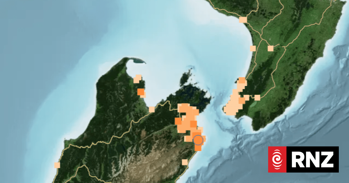
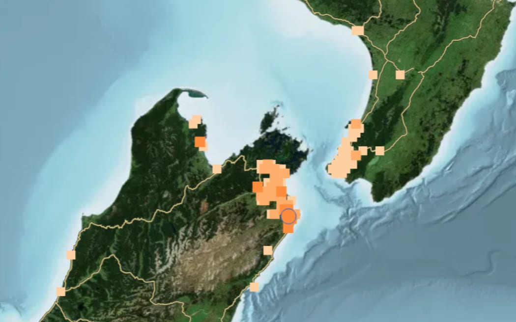
The GeoNet ‘Felt Report’ earthquake map, after the quake that was centred near Seddon, just after 6:30pm on Saturday.
Photo: Supplied/ GeoNet
The top of the South Island has been shaken by a handful of small earthquakes.
GeoNet recorded the first quake just after 6:30pm Saturday, south east of Seddon, at magnitude 4.4 and about 10 kilometres deep.
The agency then recorded another, about 15 minutes later, measuring magnitude 3.6, north of Seddon. However this event was later deleted, and another three following quakes marked as ‘unnoticeable’ or ‘weak’ were recorded in the Seddon area, until just after 7pm.
More than 1200 people reported feeling the first quake – described as moderate shaking on GeoNet.
Sign up for Ngā Pitopito Kōrero, a daily newsletter curated by our editors and delivered straight to your inbox every weekday.