
Photo: RNZ / Louis Dunham
The lifeline road connecting the East Coast to the Bay of Plenty remains shut as fresh weather warnings kick in.
The section of SH2 through the Waioweka Gorge was closed as a precaution on Monday night due to forecast heavy rain.
In an update on Tuesday morning, the New Zealand Transport Agency said there had been rockfall overnight and the gorge road would remain closed until weather warnings had lifted.
The closure comes as hundreds of mourners gather at Kokohinau marae in Te Teko for the tangi of respected rangatira Tā Hirini Moko Mead.
Traffic from the East Coast must detour north via SH35, which remains under stop/go traffic control in parts, or south on SH2 before joining SH5 near Hawke’s Bay.
The detour in either direction adds three to five hours to what is normally a two-hour journey from Gisborne to Opotiki through the Waioweka Gorge.
The area is being told to brace for downpours and thunderstorms, with MetService issuing heavy rain warnings for the Bay of Plenty east of Whakatane and the Gisborne Tai Rāwhiti ranges north of Tokomaru Bay.
The warning remains in place until 6pm.
Tairāwhiti Civil Defence has urged locals to stay safe on the roads and keep an eye on waterways that could rise rapidly.
MetService said 60 to 100mm of rain was expected to fall on top of what the region has already had. Localised downpours could see peak rates of 25 to 40mm an hour.
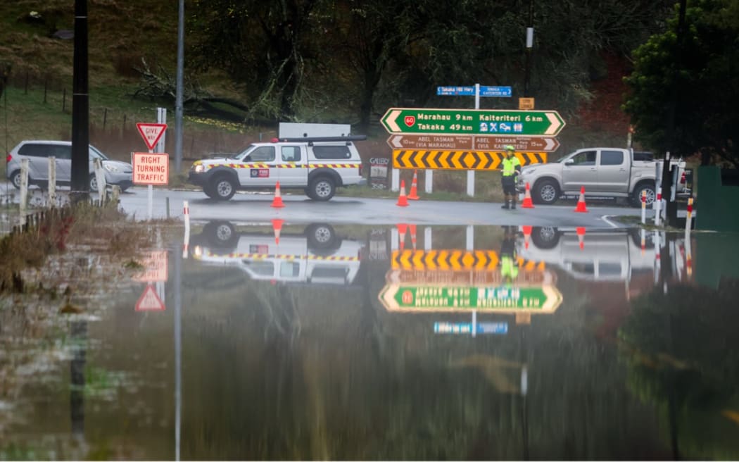
Photo: RNZ / Louis Dunham
MetService meteorologist John Law warned areas of the North Island were still at risk, with heavy rain continuing in Bay of Plenty.
“With the rain coming in from the north, areas like the Bay of Plenty … we are going to keep hold of a fairly wet story as we head through the rest of the day.”
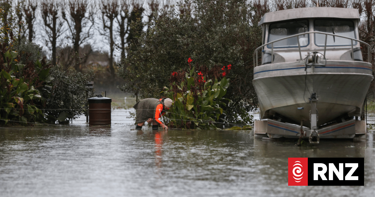
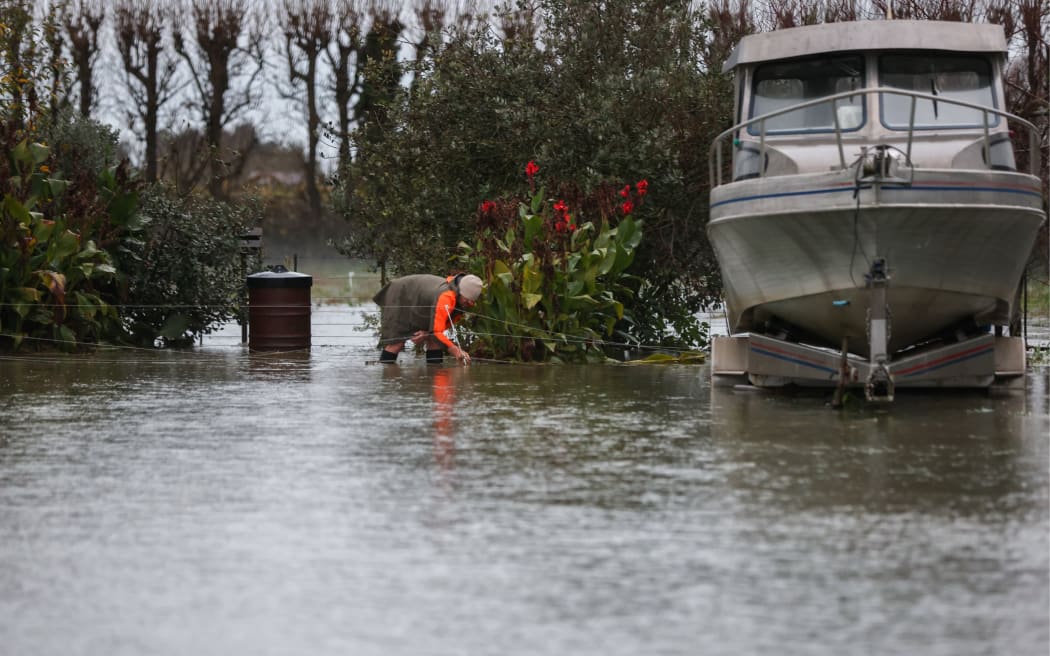
Meanwhile, river levels are dropping in the Tasman district, where some places received 700mm of rain over the weekend.
State Highway 6 between Nelson and Blenheim reopened from Pelorus Bridge to Canvastown on Tuesday morning, although State Highway 60 between Takaka and Collingwood remained closed.
Heavy rain caused a pipe to burst at Nelson’s Paru Paru Road sewerage main, sending untreated, diluted wastewater into Saltwater Creek, the mouth of the Maitai River and Nelson Haven.
Council staff and contractors hoped to fix the pipe within 48 hours but warned against swimming or taking shellfish from the estuary for several days.
Law told First Up that big rainfall totals were recorded in the Kahurangi National Park ranges and Tākaka.
“In total, through the weekend in the highest spots, 600 to 700 millimetres of rainfall, in the last 12 hours or so 200 millimetres of rain in those higher ranges through there,” he said.
Tasman District Council said notable rainfall totals included 739 mm in the Golden Bay ranges near Paradise Peak, 673 mm near Canaan Downs, 291 mm on Tākaka Hill, 189 mm in Tākaka township and 105 mm in Collingwood.
“These totals led to five-year flows in the Tākaka and 10-year flows in the Riuwaka. The lower Wai-iti, Wairoa, and Waimea all experienced the flows of most significance for this event, in the 10-20 year range,” the council said.
One property was evacuated and Brightwater School was shut because of road closures.
MetService had earlier lifted all warnings and watches for the South Island.
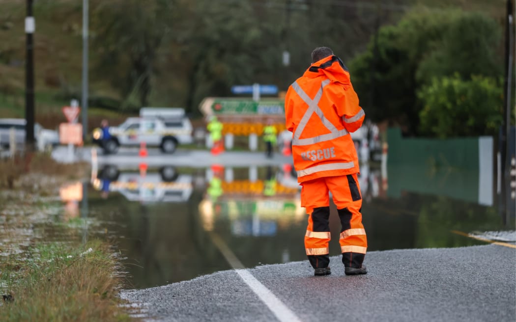
Photo: RNZ / Louis Dunham
Nelson Tasman Civil Defence said most of the region’s rivers had peaked, although some roads were still closed because of flooding.
The Tasman mayor said severe weather had hit local communities. Tim King said any heavy showers to come would impact the water levels quickly.
“Obviously, if it’s not essential, you could consider not travelling. But if you are travelling, just be careful on the roads, take notice of the environment, particularly surface flooding and debris that may have been left.”
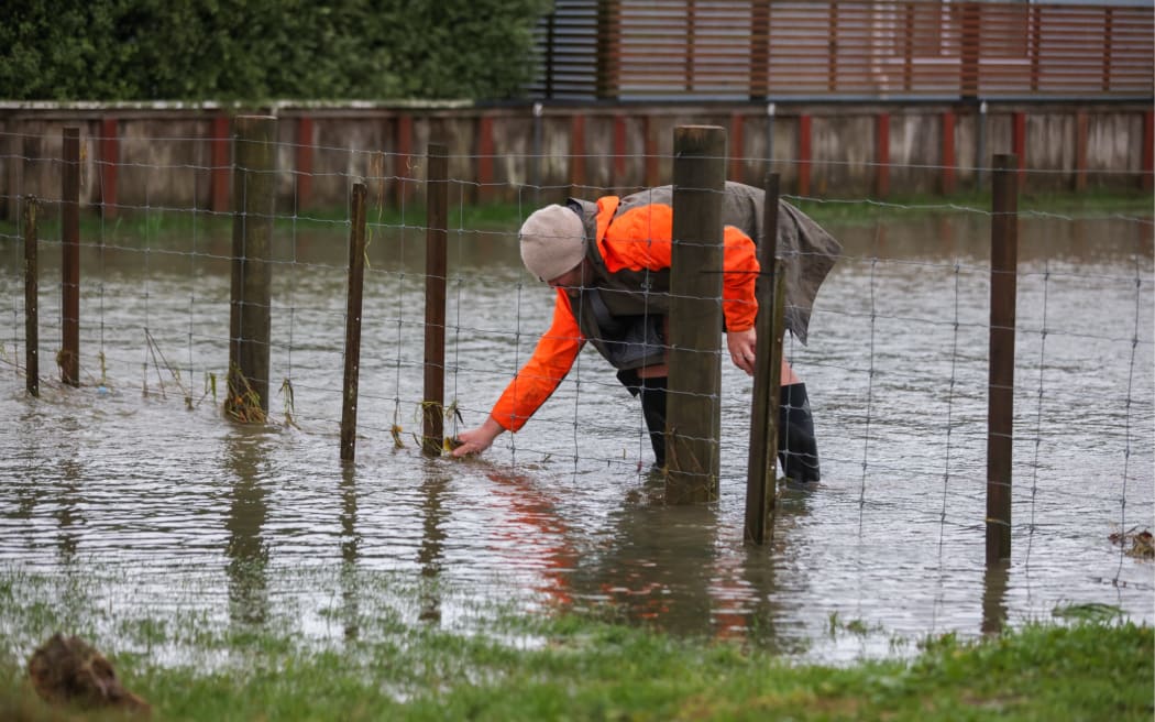
Photo: RNZ / Louis Dunham
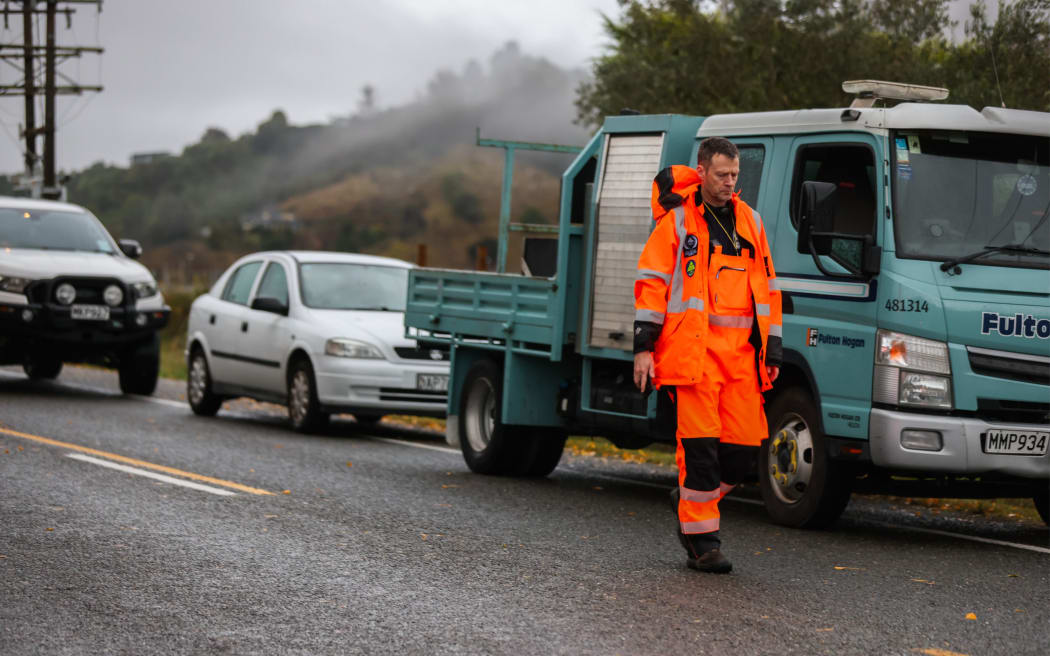
Photo: RNZ / Louis Dunham
Northland largely unscathed
All weather warnings and watches across Northland were lifted earlier after the region dodged the worst of the overnight rain.
An orange heavy rain warning had been in place from 8pm on Monday until 6am Tuesday. A strong wind watch expired at the same time.
MetService had forecast 50 to 90mm of rain, with localised downpours possibly reaching 100 to 130mm.
The only significant weather-related power outage in the region was on the west coast, where 220 homes in Herekino and Whangape were without power. Lines company Top Energy expected their power to be restored around 6pm.
According to the Northland Regional Council, the wettest place in the 24 hours to 8am today was Tutamoe, south of Waipoua Forest, which recorded 93mm.
The rainfall rate peaked at 19mm/hour around midnight.
Earlier, MetService urged those in Golden Bay, Nelson and the entire Northland region to prepare for potential flooding.
Sign up for Ngā Pitopito Kōrero, a daily newsetter curated by our editors and delivered straight to your inbox every weekday.