
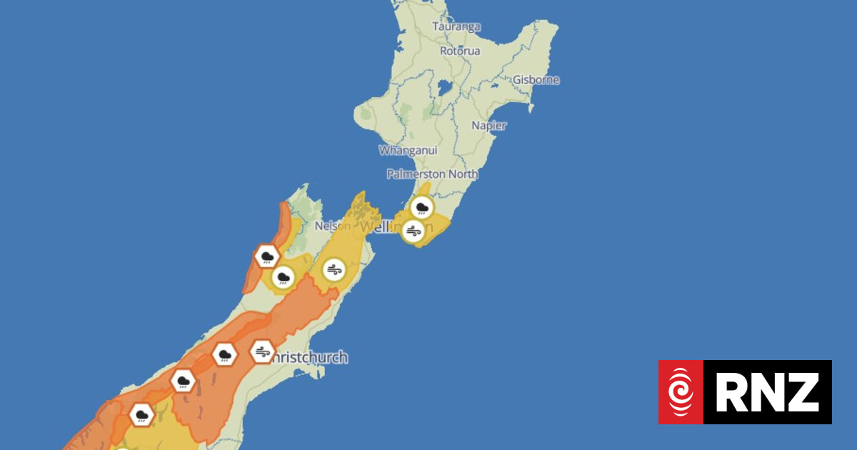
Flooding and slips were possible – and rivers and streams could rise rapidly.
MetService said a front, preceded by a strong northwest flow, was moving over the south of the South Island on Friday, heading north over the weekend.
Parts of the South Island covered by an orange heavy rain warning include:
Areas covered by an orange strong wind warning are:
Heavy rain watches are in place for:
Strong wind watches are in place for:
MetService said on Friday, northwesterly winds would begin over the South Island before the rain came.
“Powerful winds are on the cards for some eastern regions for much of the weekend, strengthening about Wellington and the Wairarapa by Saturday.
“Heavy rain is expected for western areas of the South Island on Saturday, and along the spine of the Southern Alps, with thunderstorms possible.
“Heavy rain could spill into the headwaters of the Canterbury and Otago lakes and rivers, causing them to rise rapidly.”
MetService said people heading to the Super Rugby final on Saturday in Wellington should wear a rain jacket rather than take an umbrella as showers are expected to turn to rain in the evening – with strong northwesterlies accompanying it.
“By the Winter Solstice on Sunday, this band of rain pushes over the North Island,” MetService said.
“Heavier falls are forecast about the Tararua ranges and central parts of the North Island.”
Warm temperatures can be expected over the weekend with Christchurch expected to reach 21C on Saturday, MetService said, but it won’t last – with a risk of “turbulent weather” on the way.
“Frosty winter conditions return to the South Island on Monday, with a brief period of settled weather.”