
The developing system is comparable to the powerful 1997-98 climate pattern – one of the strongest El Niño events recorded globally, the report says.
That brought drought conditions to parts of New Zealand and significantly affected farming and water resources.
El Niños typically bring more frequent westerly winds and drier conditions to Northland, increasing the likelihood of below-average rainfall, lower river flows and reduced groundwater recharge.
Forecasters say below-average rainfall is now the most likely outcome for September-November, while temperatures are more likely to be above average.
This is despite Northland recording 172mm of rain last month, which was 108% of the long-term average for the month.
Most of that rain arrived late in the month when a burst of subtropical weather lifted totals across the Far North, Hokianga and eastern coastal areas from the Bay of Islands to Whangārei Heads.
The late burst provided welcome relief, but the report says it has not erased concerns about a strengthening El Niño.
The rain came after significantly drier conditions during July.
Meanwhile, Northland’s August river flows ranged from “normal” to “extremely low”. The rivers were predominantly classified as “below normal” to “very low”, particularly across western, mid-north and southern parts of the region.
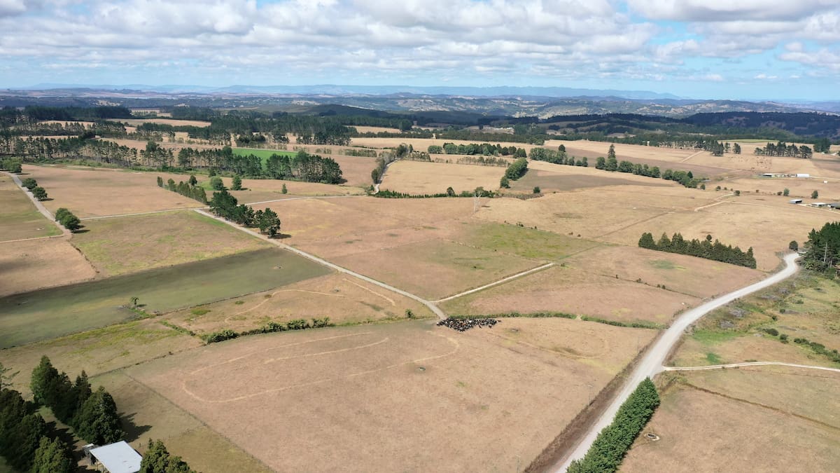
This season’s strengthening El Niño is shaping up to be among the strongest yet, raising the spectre of drought for Northland. Photo / NZME
August’s rain improved river flows along parts of Northland’s east coast from the Bay of Islands to Whangārei Heads, but waterways through its western, mid-north and southern areas remained generally below normal.
Groundwater levels improved after the late August rain, helping to recharge many aquifers.
Most monitored groundwater sites remain either normal or below normal for this time of year.
But groundwater levels were classed as extremely low at Taipā and Awaroa near Kaitāia in the Far North and low at Poroti and Maungatapere west of Whangārei, and Maunu on Whangārei’s urban fringe.
Northland’s winter rainfall was 82% of the seasonal average, despite August’s burst of rain.
The highest rainfall was at Touwai, near Whangaroa Harbour, where 325.5mm, or 147% of normal August rainfall, was recorded.
The lowest rainfall was at Dargaville, where 60.2mm, or 48% of its normal August rain, was recorded.
Cape Rēinga received 186.9mm, or 181% of its normal August rainfall, while Marsden Point recorded 178mm (148%).
In contrast, Kaikohe, Opouteke west of Whangārei, areas south of Whangārei towards the Northland/Auckland boundary and parts of Kaipara between Kai Iwi Lakes and Poutō Point all recorded below-average rainfall.
NRC’s August climate report highlights the North is already feeling impacts of El Niño. Authorities are preparing in case the region’s water levels plummet like they did in 2020 when Whangārei’s Whau Valley dam was so low that all but essential use was banned in several areas.
Photo / NZME
Soil moisture received a significant boost from August rain and was at or near field capacity across most of the region.
This gives the region more moisture in reserve as it heads into spring and a cushion should the weather turn dry.
However, the report suggests that cushion may prove difficult to maintain, with Northland’s spring rainfall most likely to be below average.
The districts at a glance
Far North district was the biggest beneficiary of August’s rainfall, with heavy falls across parts of the Bay of Islands, Hokianga and Mid North pushing many areas above normal for the month.
However, groundwater concerns remained, with extremely low levels still recorded at Taipā and Awaroa near Kaitāia, while Kaikohe was among the areas that remained drier than average.
Whangārei district experienced a mixed month. Eastern coastal areas and communities such as Whakapara and Punaruku were among Northland’s wetter locations, but western catchments and some groundwater sites remained below normal, while river flows continued to lag despite the rainfall.
Kaipara district was generally the driest of Northland’s three districts, with below-average rainfall recorded across areas between Kai Iwi Lakes and Pouto Point.
Dargaville recorded the region’s lowest monthly rainfall total, highlighting the district’s relatively dry conditions despite Northland’s above-average rainfall overall.
■ LDR is local body journalism co-funded by RNZ and NZ On Air.