
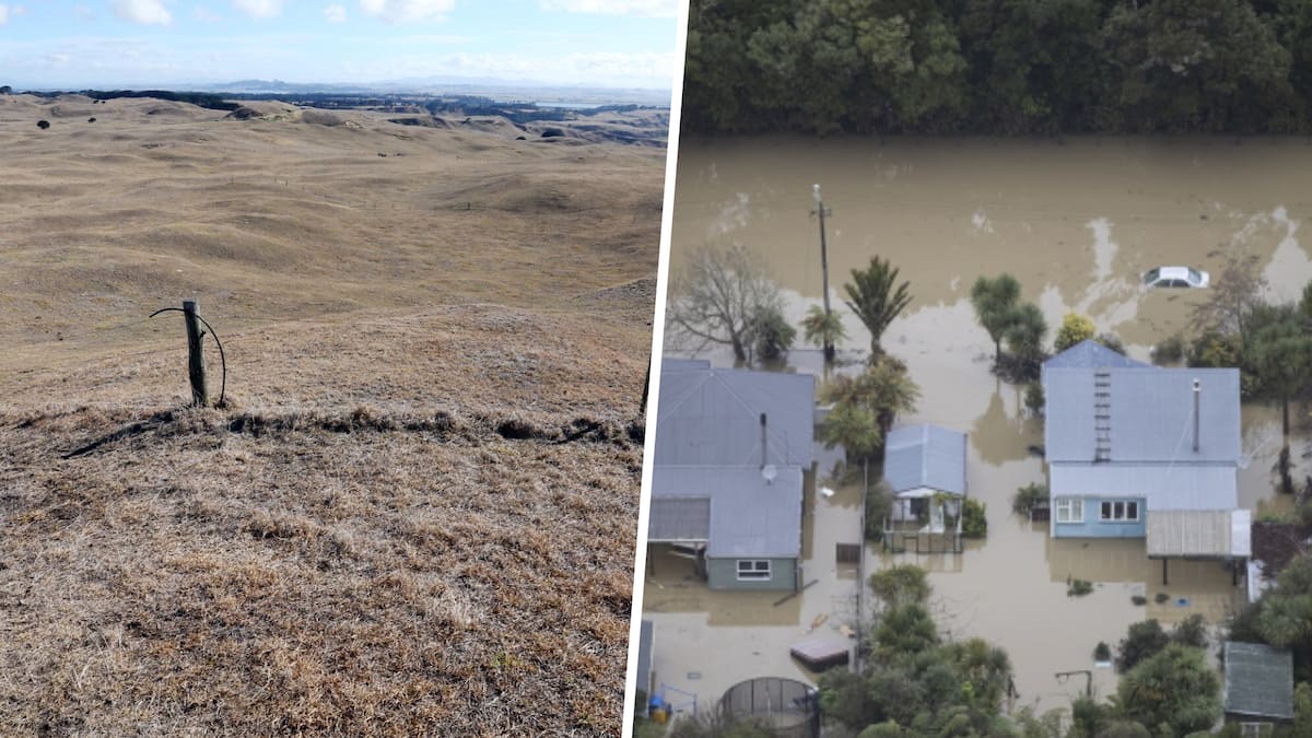
Daily transits through the Panama Canal have been cut because of drought, but other parts of the country that border Costa Rica face flooding.
Kenya is preparing for flooding and landslides, while India faces its driest monsoon in 17 years.
Earlier this week California’s Governor Gavin Newsom declared a state of emergency in expectation of severe winter storms.
This year’s emerging El Niño event has already triggered California ocean temperature records, with Newsom saying the weather pattern is expected to strengthen, potentially becoming the strongest in recorded history.
The proclamation pointed to California’s recent experience with atmospheric rivers and Newsom directed state agencies to move flood-fighting supplies such as sandbags, pumps and other critical equipment into position.
Further south the Red Cross network has begun taking actions that aim to prevent or reduce the potential impacts of a disaster.
It has allocated 1.2 million Swiss francs ($2.6m) to early action in response to drought in El Salvador and Guatemala – both in Latin America – and Colombia in South America.
This money will be used to provide cash to the most vulnerable families, to supply drinking water, to support farming, and to provide training in adaptive agricultural practices, hygiene and the prevention of heat-related illness.
Panama is in the unenviable position of dealing with both flooding and drought.
The Panama City skyline. Photo / 123RF
Because of low water levels in the lakes that feed some of the locks on the Panama Canal, restrictions have been placed on the number of ships that can pass through the artificial waterway.
From September 15, the canal is only moving 32 ships a day – down from a normal capacity of 36 to 40 vessels.
Meanwhile, in the north and west of the country, thousands have been impacted by flooding this year.
Across the Atlantic in Africa, Kenya is also preparing for a wetter-than-normal wet season.
This week the Kenyan Meteorological Service Authority issued a public service advisory that during the October to December rainy season, several parts of the country are expected to receive more rain than normal.
Kenyans were urged to prepare for flooding, landslides and disruption of essential services.
One-day ocean temperature anomalies / Earth Sciences New Zealand
Further north in Sudan, the Arab News reports the Darfur region – already ravaged by decades of conflict – faces its driest rainy season in 40 years.
The African Development Bank has warned that this year’s El Niño could cost Africa US$20 billion ($36b) – or 1% to 2% of GDP in the worst-hit areas.
The Guardian reported the UK Government is planning an El Niño-focused campaign to urge citizens to prepare for national emergencies.
“We’re about to experience probably the largest El Niño that has ever been seen, and that will lead to drier summers, wetter winters, with more extreme storms in this country,” Angela Eagle, the environment secretary, told the Guardian.
“It will do a lot more damage in Asia with flooding, and therefore I think that we need to take it seriously.
“If you’ve got a store of a bit of food that can keep you going for a while before the emergency services can get to you, you’re going to be a lot better off than if you haven’t. So some of it is that kind of preparation for just being a bit more resilient.”
Multiple media outlets have reported that India is experiencing its driest monsoon season since 2009. Rainfall has been about 15% lower than normal and more than half of the country is under dry or drought conditions.
In Australia, El Niño often brings hotter temperatures and increases the risk of drought and wildfires.
But the Australian Bureau of Meteorology warned that every El Niño is different and that although the southern half of Australia has been hotter than normal, it is too early to know how 2026 will play out.
In New Zealand, previous El Niño events have resulted in both more rain and more drought, with the associated increase in flooding and wildfire risk.
The eastern and northern areas of both islands are normally drier than usual, while the western and lower South Island is wetter than usual.
El Niño’s likely impacts in spring. Image / Earth Sciences New Zealand
Auckland Emergency Management has created an “El Niño Info Hub”.
El Niño could bring hotter, drier and windier weather to Auckland.
Potential risks include fire, heat, drought and severe weather.
Residents are encouraged to make a plan now, including checking emergency supplies and being ready to leave in a hurry if required, and to consider how heat, drought, wildfire and strong winds could affect household, work and summer plans.
Auckland Emergency Management also recommends planning for how to stay cool during hot weather and for water shortages.
Earth Sciences New Zealand chief scientist Chris Brandolino previously told the Herald: “Every El Niño is different, we like to tell people we know the average outcome of El Niño, but no El Niño is average.
“When you look back at 2015-2016 it was a very dry spring, but then [in] January and February, we had moist northeasterly winds and it was actually quite wet in the upper North Island, which was the antithesis of El Niño.”
Chris Knox is a scientist turned data-journalist who investigates the stories behind the numbers, and creates interactives for Herald readers to explore them.