

Subscribe to listenAccess to Herald Premium articles require a Premium subscription. Subscribe now to listen.Subscribe now
SaveShare this articleCopy LinkEmailFacebookTwitter/XLinkedInReddit
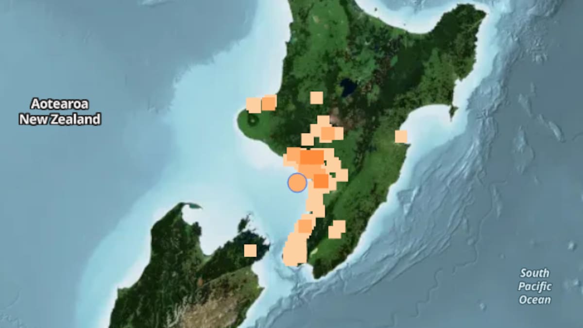
A GeoNet map shows the location of the magnitude 4.0 earthquake, which struck 30km south of Whanganui on Monday.
A magnitude 4.0 earthquake has struck near Whanganui this afternoon, with hundreds reporting feeling the shaking.
The quake hit at 3.33pm, about 30km south of Whanganui, at a depth of 12km, according to GeoNet.
The shaking was classed as light, although some residents reported feeling stronger tremors.
Within minutes, 853
people had submitted reports to GeoNet, including 30 who described the shaking as moderate, three as strong and one as severe.