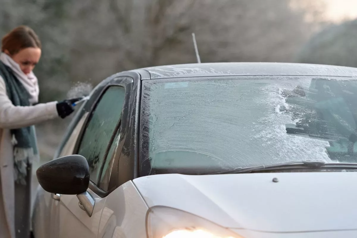
Weather maps predict one region of the United Kingdom to be pummelled by snow in the run up to Christmas Snow is set to batter large parts of the UK in the coming days(Image: PA)
It might be mild so far this December, but winter could come back with a vengeance, smashing communities with snow and ice and temperatures of -2C just days before Christmas.
New forecast maps from forecaster WXCharts indicate a 243-mile-long band of snow and blizzards arriving on December 23.
The maps predict an area of Scotland from Durness, near Cape Wrath, in the far north east, down to Crinan, in Argyll and Bute, could be hit with the white stuff, covering some of the wildest parts of Britain.
READ MORE: TUI statement after holiday disaster sees 55 boat passengers leap into sea
Get breaking news on BirminghamLive WhatsApp, click the link to join
Temperatures are also predicted to follow suit, with much of the Highlands expected to record -2C in sheltered areas, alongside cities like Aberdeen, Dundee and Inverness.
Separately, a Met Office forecast covering the period said “snow will probably be confined to high ground”, which might come as a welcome sign for those travelling to relatives for the holidays.
In its own forecast for December 16 to Christmas Day, the Met Office stated: “Unsettled at first with spells of rain affecting the UK at times.
“Some heavy rain is possible anywhere, but it is likely to be heaviest and most persistent in the west and northwest, with sheltered parts of the east and southeast typically drier,” the Met Office said, continuing: “Any snow will probably be confined to high ground in the north.
“Strong winds are possible at times with a risk of gales, especially along coasts and over higher ground.
“Temperatures are likely to be above normal overall.
“Later in the period, conditions may start to become a little more settled, with rainfall amounts decreasing and drier weather becoming more prevalent, especially in the south.
“This may mean an increasing amount of overnight fog and frost.”
The Met Office previously explained it is challenging to predict snow in the UK, especially weeks in advance.
Britain has already seen significant snowfall this end of the year, the most notable of which left hundreds of motorists stranded in blizzards which hit the North Yorkshire Moors on November 20.
So far, December has been relatively wet and mild, and the Met Office has issued yellow severe warnings for this Saturday and Sunday, covering parts of north Wales, northwest England, and southwest Scotland.
Persistent and occasionally heavy rain is expected over the weekend, with outbreaks spreading in from the west during Saturday and Sunday before eventually easing during Sunday afternoon and evening.
Rainfall totals of 30 mm or more are likely across the warning areas, with significantly higher amounts possible over exposed upland regions. Strong south-westerly winds are also possible at times.
Met Office five-day forecastFriday:
Rain may be slow to clear the southeast through Friday, but elsewhere it will be a more settled day with sunny spells.
Blustery showers across the northwest. Feeling fresher.
Outlook for Saturday to Monday:
A northwest-southeast split this weekend, with increasingly wet and windy weather across Scotland and Northern Ireland, though drier and brighter conditions elsewhere.
Turning unsettled for all into next week.

