
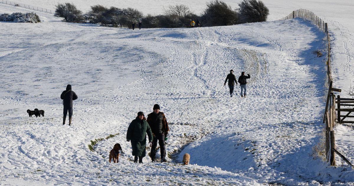
Heavy snow showers are forecast in parts of the UK this week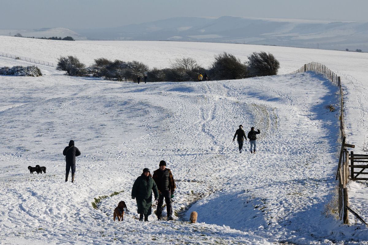 The new year is set to start with a cold snap(Image: Getty Images)
The Met Office has warned of a ‘very cold’ start to 2026 as the UK is forecast to be hit with snow and ice in the new year. The forecaster has issued a severe weather warning in parts of Scotland, with ‘widespread’ wintry conditions expected across the UK.
Cold weather is already impacting much of the country, with subzero temperatures sparking cold health alerts by the UK Health Security Agency (UKHSA) in England. Amber alerts were issued in the North West and North West, warning of a ‘rise in deaths’, while the rest of England was placed under a yellow alert from December 28 to January 5.
But Met Office forecasts suggest the cold spell could continue beyond the first week of January. Its long-range forecast, which runs from Saturday (January 3) to January 12, warns of ‘very cold, wintry conditions’ due to northerly winds.
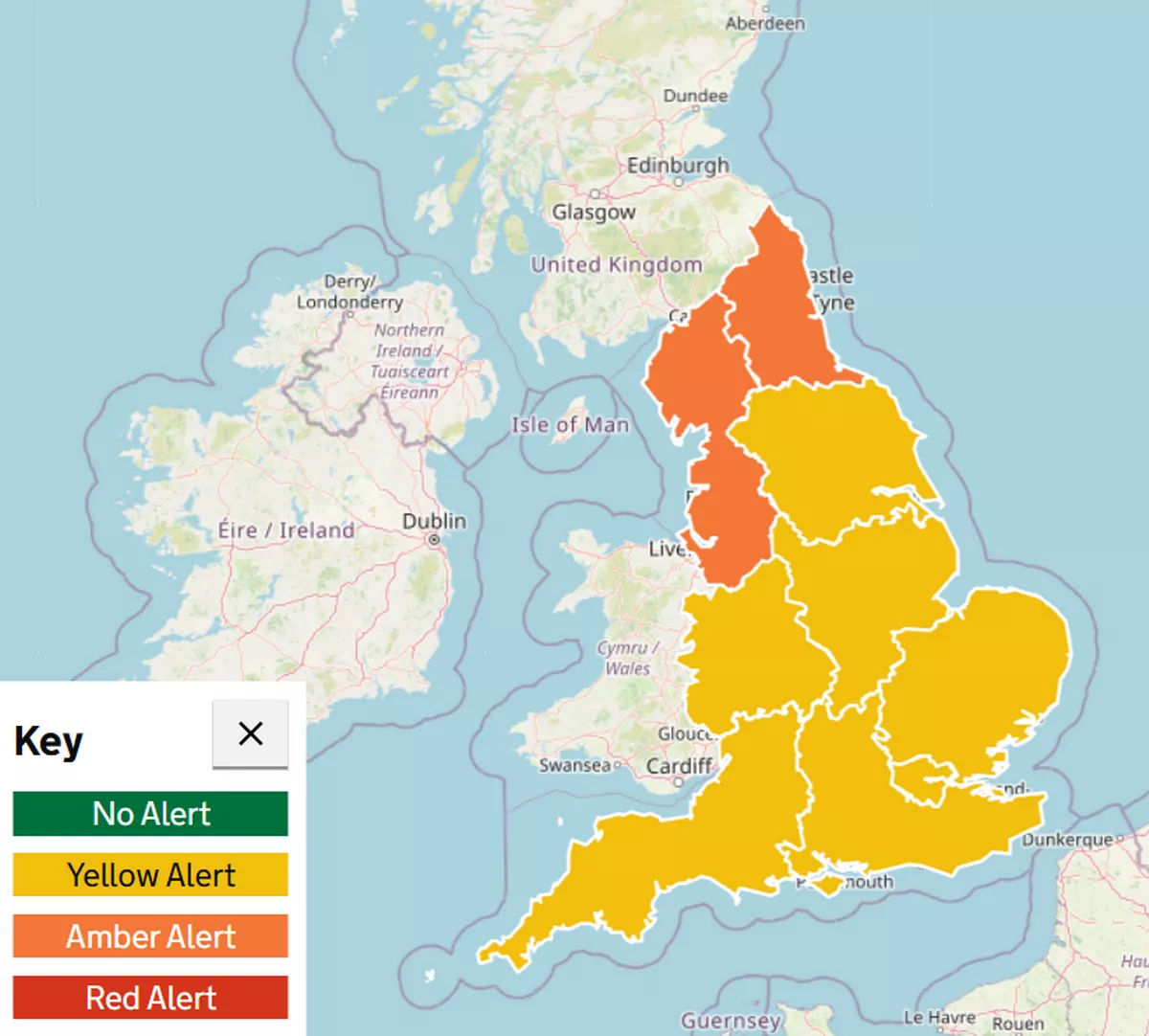 Cold health alerts have been issued across England(Image: UKHSA)
The Met Office said: “These will bring snow showers to areas that are exposed to onshore winds. Subtle day-to-day changes in wind direction will change the places most exposed to the showers, but where they occur some significant accumulations of snow are likely.
“There are likely to be some more coherent bands of sleet and snow working south, and these may bring a risk of more prolonged and widespread wintry precipitation affecting some inland areas.”
Weather maps show heavy snow showers are forecast across northern Scotland on January 1 and into January 2, with snowfall also expected in parts of Wales and the West Midlands in England. Temperatures could even dip to -5C in some areas, according to Met Office maps.
A yellow weather warning has been issued for snow and ice in Scotland throughout this period, with forecasters warning of ‘frequent and heavy snow showers’ which may lead to travel disruption to begin the year.
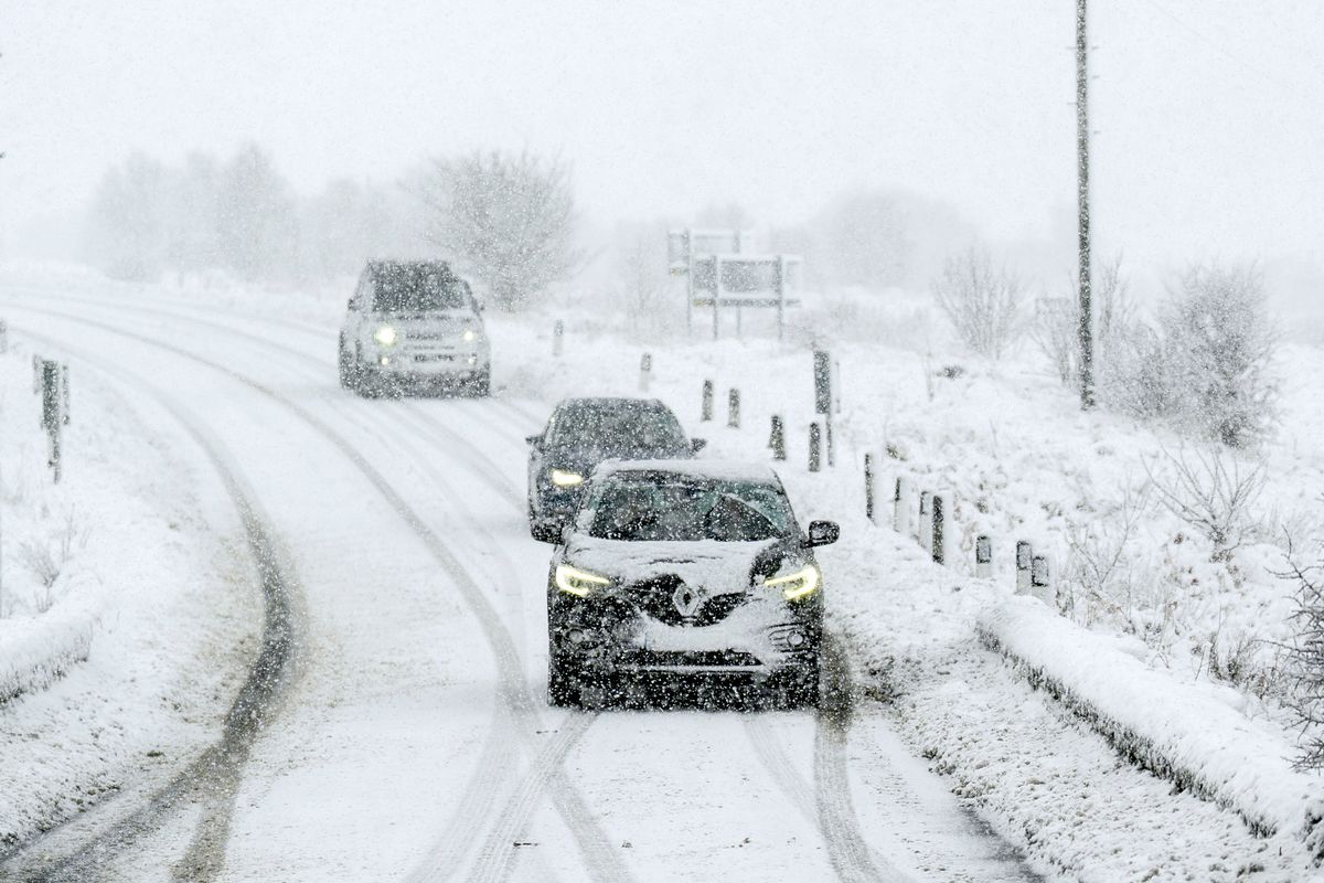 Heavy snow is forecast in the UK this week(Image: PA)
While there is less certainty in the forecast for the second week of January, the Met Office has said it’s possible cold conditions may persist, warning of an ‘ongoing risk of winter hazards’ across the UK.
Met Office Deputy Chief Forecaster Mark Sidaway said: “It certainly looks like we are in for a taste of ‘winter’ as we welcome in the New Year, initially in the north, but more widely across the UK for the first week of 2026.
“Arctic air and strong northerly winds will bring cold or very cold conditions to all parts of the UK, and it will feel especially cold in the strong winds. Widespread and locally severe frosts are expected, along with the first snow of the winter for many.
“A yellow warning for snow and ice has been issued for northern Scotland on New Year’s Day and beyond, where frequent and heavy snow showers may lead to some travel disruption.
“These colder conditions and wintry hazards – snow, ice and strong winds – will develop more widely as we enter the New Year, with more warnings for snow and ice likely. It looks like this cold spell will last through at least the first week of January, so it’s important people keep up to date with the latest forecast and warnings.”