
The bad weather just keeps coming
Shannon Brown Senior Reporter
11:09, 01 Feb 2026
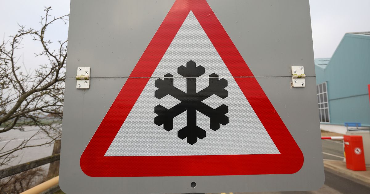
Another weather warning has been issued in the South West(Image: Ian Cooper/North Wales Live)
The South West has been slapped with yet more weather warnings, with forecasters warning of weather disruption over three straight days.
As temperatures drop, forecasters say the heavy rain which fell in the South West over the last week will freeze, leading to icy patches on roads in the South West overnight.
The latest weather warning is in place from 10pm on Sunday, February 1, until 9am on Monday, February 2.
The Met Office says: “With wet surfaces following recent rain, and temperatures falling close to or below freezing, icy patches will be possible on untreated surfaces for a time on Sunday night into Monday morning.
“The extent of cloud cover across parts of Wales and central southern England is more uncertain, which will influence whether temperatures fall sufficiently low enough to allow ice to form. A few fog patches may pose an additional hazard.”
The warning includes all of Devon and Cornwall, with most of Somerset set and large parts of Wales also affected.
On Monday, a heavy rain warning comes into effect at 12pm and remains in place until 9am on Tuesday. The Met Office says there may be a danger to life as a result of deep, fast flowing flood water, which members of the public have been warned not to enter.
Up to 50mm of rain could fall across Dartmoor, meteorologists says, though it adds there is some uncertainty about the forecast.
“Whilst there is some uncertainty, outbreaks of rain may become persistent on Monday, especially later in the day and overnight, before gradually easing and clearing into Tuesday,” the Met Office says.
“Accumulations of 10-20 mm are possible fairly widely, with perhaps as much as 30-50 mm over Dartmoor. Given saturated ground following recent rain, there is a chance this may lead to some flooding and disruption in places.”
It comes after warnings on Thursday and Friday
Met Office Chief Forecaster Rebekah Hicks said: “Over the next few days we’ll see more rain into areas of the country which have already been hit by flooding, and the saturated ground contributes to the ongoing likelihood of some disruption caused by the coming rain.
“The totals we’re expecting aren’t comparable to Storm Chandra, but with around 25 mm possible each day in parts of the Yellow warning areas, it could be sufficient to lead to difficult travel conditions and further flooding in places.”