
It said Sunday was expected to be a “chilly night for many,” with a frost in the north.
It added: “Following a spell of rain and some hill snow during Sunday afternoon, temperatures will fall below freezing as skies clear from the west through the evening and overnight, leading to ice forming on untreated surfaces.”
Areas covered by the yellow weather warning for ice include: Central, Tayside & Fife, Grampian, the Highlands, South West Scotland, Strathclyde and Northumberland in north-east England.
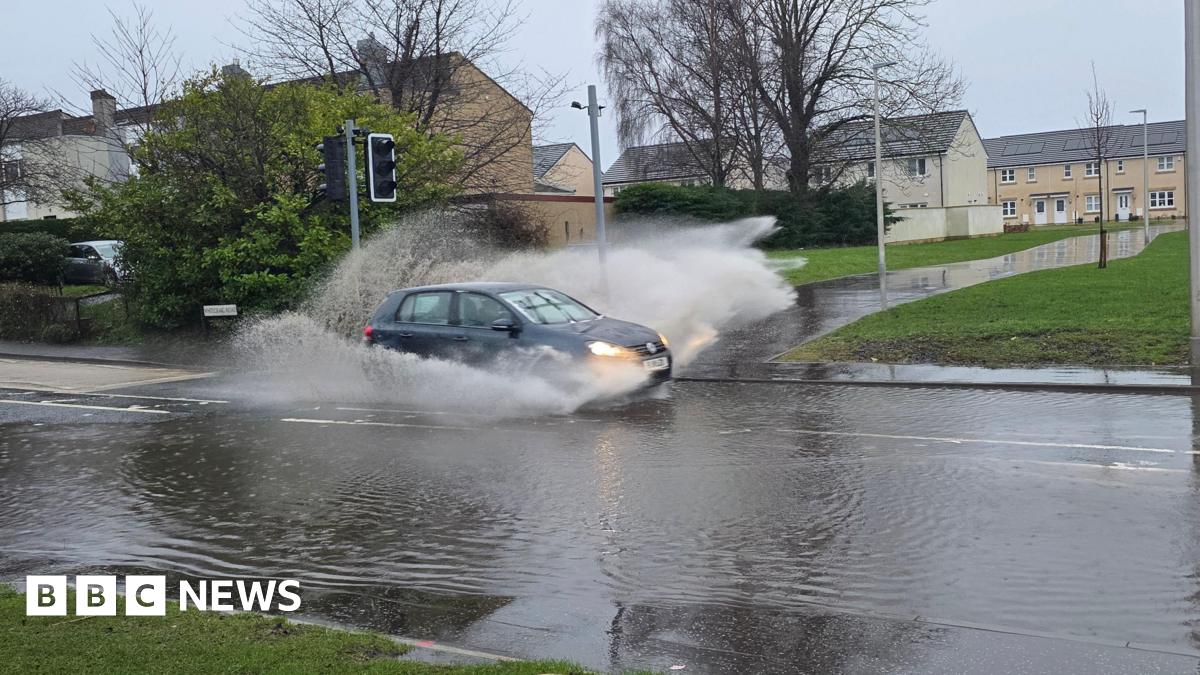
Meanwhile, 74 flood warnings and 195 flood alerts, external have been issued by the Environment Agency across England – concentrated in the south and the Midlands – following a long spell of wet weather.
Jonathan Day, flood duty manager at the Environment Agency, said more than 24,000 homes and businesses have been protected but about 330 have been flooded.
Natural Resources Wales has issued three flood alerts, external – for South Pembrokeshire, Vyrnwy catchment and the Lower Severn catchment in Powys.
Monday will see variable cloud cover, bright spells and scattered showers for most, BBC Weather said, with a few longer spells of rain at times for southern areas. Spells of rain and hill snow are expected for northern Scotland.
Cloud and rain is then predicted to push into south-west England and south Wales late on Tuesday, Met Office operational meteorologist Dan Stroud said.
“During the course of Wednesday this will bring a mix of rain, sleet and hill snow,” he said.
“We do need to keep an eye on this system, there’s the potential for snow warnings to be issued.”
An hour-by-hour forecast is available on the BBC Weather website and app.