
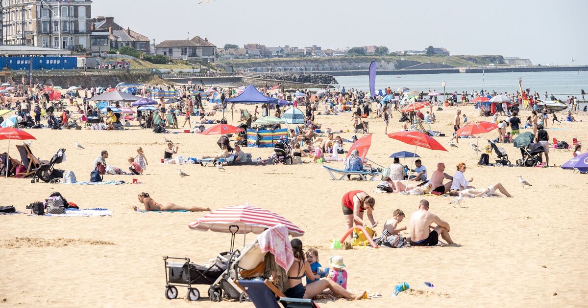
Large parts of the UK look set for scorching temperatures later this month following a wet and stormy start to August. Weather warnings for wind are in place today and tomorrow as Storm Floris hits the UK, with the hazardous conditions following a period of record-breaking heat at the start of the summer.
It began with three heatwaves and the hottest June ever recorded in England. But forecast data collected by WXCHARTS.COM suggests balmy temperatures could soon return, with the mercury rising above the mid-30s in some areas on Monday, August 18th.
Much of England from Middlesbrough down through the Northeast and all the way down to the south coast looks set for highs of at least 30C by 6pm UST (7pm BST), with many enjoying up to 34C.
12 counties appear to be in line for max temps of between 35C.
These include: Somerset and possibly into Devon, Wiltshire and northern parts of Dorset, Berkshire, Hampshire, Oxfordshire, Warwickshire, and northern parts of Cambridgeshire, the maps appear to suggest.
Herefordshire, Worcestershire, and northern parts of Gloucestershire also appear set for 35C, with the possibility of 36C across an area connecting the three counties.
Cities and towns including London, Luton, Worcester, Birmingham, Stoke, Norwich all look set for max temps of at least 30C.
It could be as hot as 27C at the peak as far north as the Northumberland coast.
Temperatures in Wales look set to range 19C or 20C in some coastal areas up into the early 30s.
Temps look set to be slightly cooler further north and up into Scotland, where they could range from around 15C to as high as 27C in some areas, including coastal areas in the Northeast.
Meanwhile, maximums of between around 20 and 25C are forecast in Northern Ireland.
It comes as yellow and amber weather warnings remain in place for wind, as Storm Floris brings gusts and travel disruption.
In Scotland, “danger to life” warnings have been issued whilst some trainlines have suspended services amid winds of up to 90 mph on some exposed coasts, hills, and bridges.
In the Northern UK, do not travel warnings have been issued as inland areas are braced for 40 to 50 mph winds, whilst gusts between 60 and 70 mph are expected along exposed coasts and high ground.
The Met Office has issued amber warnings for much of Scotland, from 10am to 11pm on Monday, August 4. A yellow warning for wind is also in place for northern parts of the UK and Northern Ireland from 6am today to 6am on tomorrow.
In both cases, the government agency warns that conditions are a risk to life.
Orkney & Shetland will be under a yellow warning for wind from midnight until 8am tomorrow, with those in coastal areas warned over the risk of large waves.
You can find the warnings in full with the latest guidance here.
Full list of 12 hottest counties
Somerset
Devon
Wiltshire
Dorset
Berkshire
Hampshire
Oxfordshire
Warwickshire
Cambridgeshire
Herefordshire
Worcestershire
Gloucestershire