
Snow could fall across the UK next week as a blizzard moves in – temperatures may drop to -4C in places as major cities including Manchester and Birmingham are hit
19:33, 01 Mar 2026Updated 19:33, 01 Mar 2026
Snow is expected from 3am next Friday(Image: WX CHARTS)
Shocking new weather maps show snow could fall over huge swathes of Northern Ireland, Wales, England and Scotland next week – with major cities in the firing line.
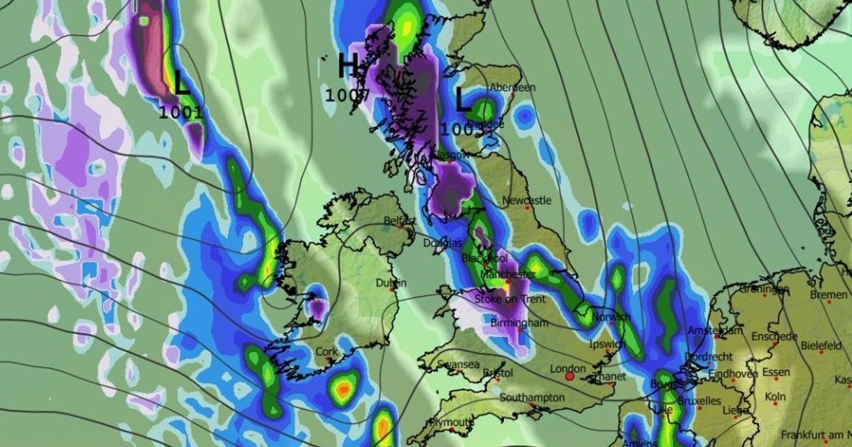
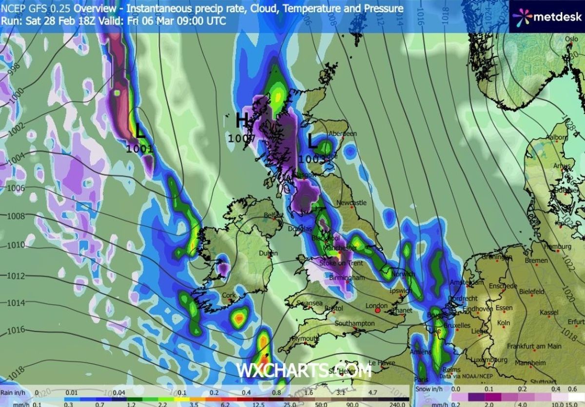
The GFS weather model first shows snow falling in the south-west of England, South Wales, Northern Ireland and western parts of Scotland at around 3am on Friday. Cities including Belfast and Swansea should see the white stuff around this time.
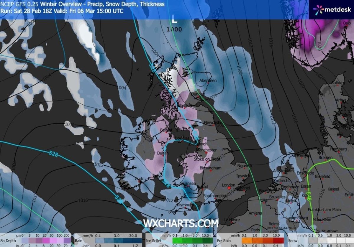
The snow is tracked to then move eastward, impacting the Midlands and the north-west of England at around 9am. Manchester, Stoke and Birmingham all seem to be facing flurries.
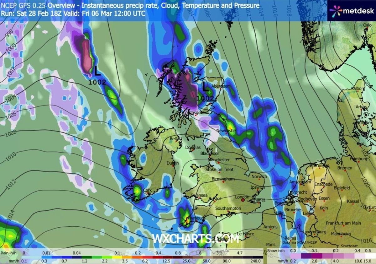
By midday, the snow will be concentrated mainly in Scotland. Glasgow appears set for some wintry showers at this time.
Birmingham and Manchester could see snow(Image: WX CHARTS)
READ MORE: Snow maps reveal shock blizzard to sweep over UK cities as temperatures plummetREAD MORE: UK snow maps reveal -4C ‘Beast from the East’ as cities including London buried
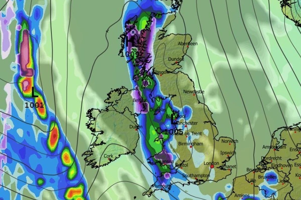
Snow coverage maps show that most of Northern Ireland and Wales will have snow settled on the ground by 3pm. In England, only the Midlands and north-west will be impacted. Western and central Scotland are also shown shaded in purple, denoting settled snow.
Temperatures could drop as low as -4C in parts of Scotland, the data suggests. Northern England, Northern Ireland and parts of Wales could plunge to -1C.
Heavy flurries are also expected in Scotland(Image: WX CHARTS)
The Met Office also suggests more snow could be on the cards this month. However, the national weather agency expects it to be limited to northern hills.
The Met Office forecast for March 6 to March 15 states: “High pressure looks to hold the greatest influence for much of this period, especially towards the south or southeast of the UK.
Snow could settle across a massive swathe of the UK(Image: WX CHARTS)
“This means that many places will see plenty of dry weather with variable cloud amounts and some sunshine. The best of the sunny weather is most likely towards the south or southeast.
“Some overnight fog is possible given clear skies and light winds. However, frontal systems are still likely to affect the north and west of the UK at times, perhaps pushing further east on occasion, bringing some rain and strong winds, and perhaps some hill snow across high ground in the north. Temperatures will be near or above normal, although a few patchy overnight frosts are still likely.”