
Parts of the UK including England could see frost, strong winds and even snow next week, new weather maps show, as the Met Office warns of ‘unsettled’ weather due to ‘low-pressure systems’
21:31, 29 Mar 2026Updated 06:34, 30 Mar 2026
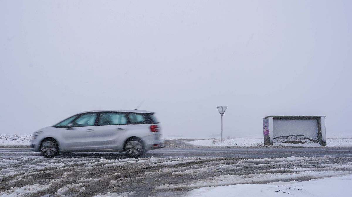
It could be a chilly start to April (file)(Image: Ian Forsyth, Getty Images)
Maps show parts of the UK could see snow flurries, frost and strong winds over a 60-hour spell starting next week.
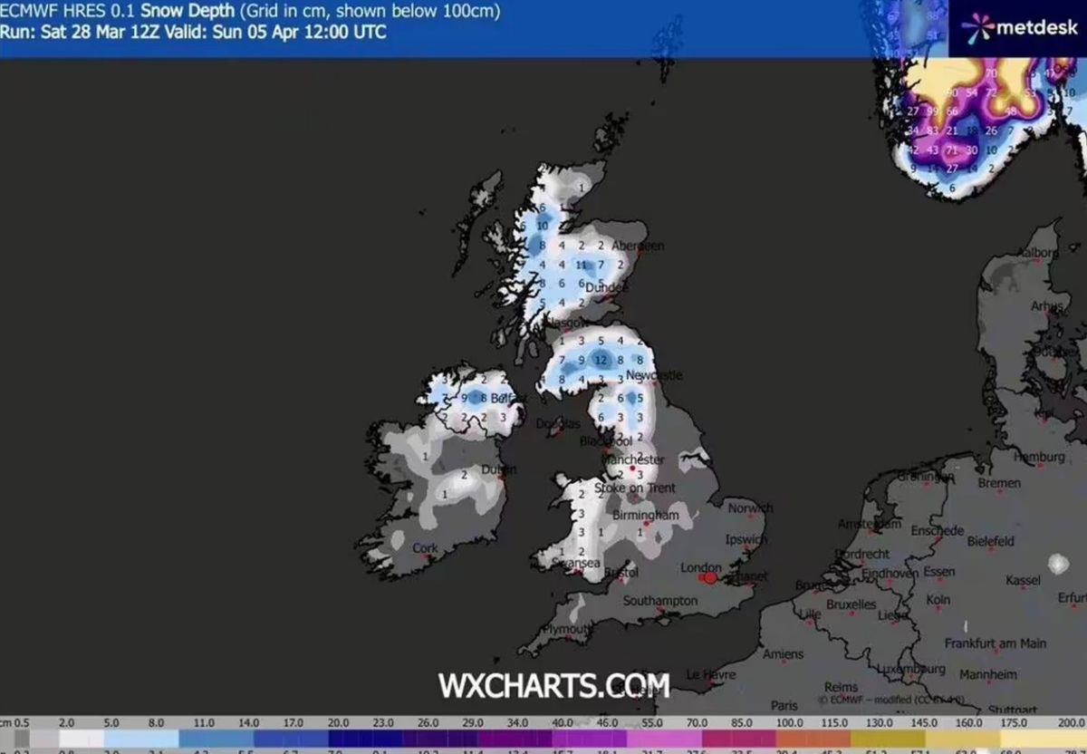
The ECMWF weather model indicates the UK could face an especially cold snap on Sunday (April 5). Wintry conditions are expected to begin on the evening of Saturday (April 4) in Scotland and northern England, particularly over the Pennines, before spreading further south in the early hours of Sunday.
By midday on Sunday, northern England – including Northumberland, Cumbria and Durham – could see a spell of snow, with a few centimetres settling in places. North Yorkshire and parts of West Yorkshire could also see patchy snow on higher ground, though amounts are expected to be lighter.
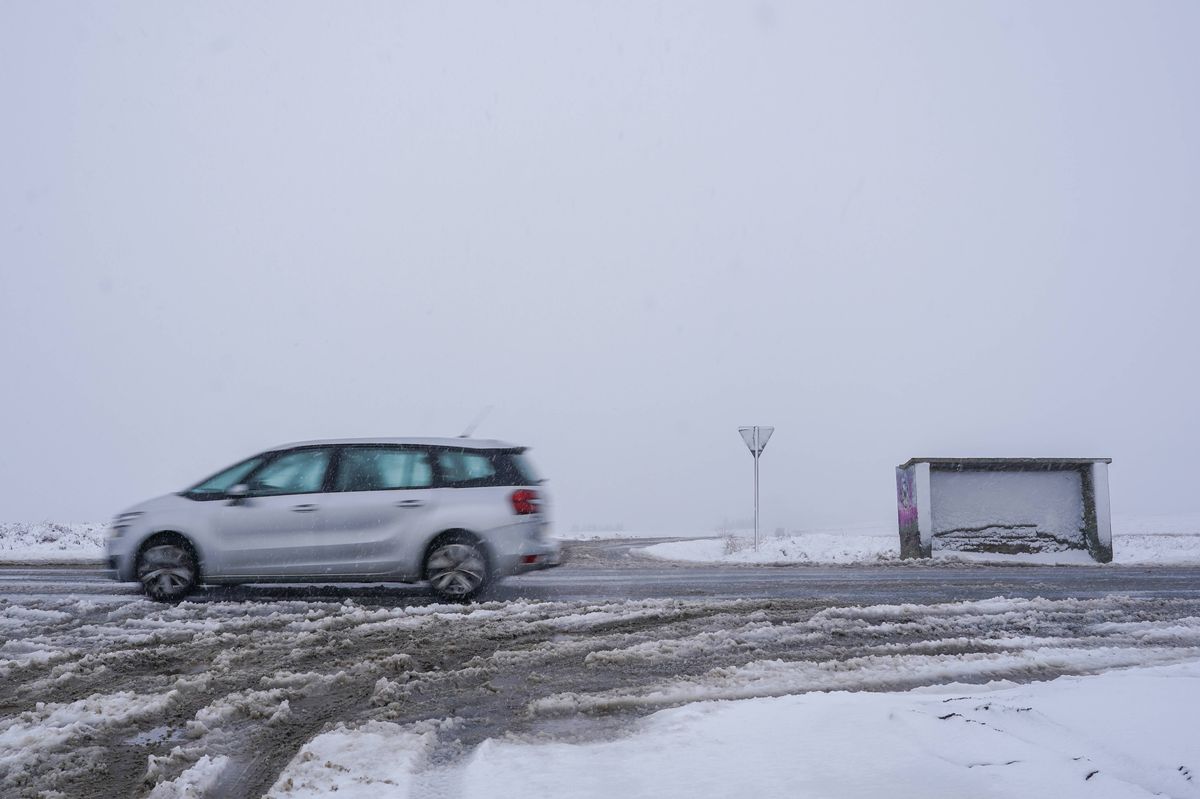
Brits are in for a chilly start on April 5(Image: WXCharts)
READ MORE: UK weather: Met Office names areas facing -2C freeze as clocks spring forwardREAD MORE: Canary Islands ’emergency’ weather warnings for Brits in Tenerife and Lanzarote
Further south, across Staffordshire, Greater Manchester and the West Midlands, any snow is likely to be on higher ground, while much of southern England should remain snow-free. However, clear skies could allow frost to form overnight and into the morning in counties such as Oxfordshire, Hertfordshire and Kent.
The maps suggest Scotland could face blizzard-like conditions, with higher ground in the Highlands, Aberdeenshire and Angus likely to see the biggest accumulations. Parts of Northern Ireland could also see flurries, mainly in parts of County Antrim and County Down, while Wales is expected to see frost, with a chance of some light snow on higher ground.
After the weekend, wintry conditions are expected to linger mainly in the northwest until the morning of Tuesday (April 7). The Met Office says the region will see “low-pressure systems moving in at times, bringing periods of strong winds and showers or longer spells of rain” from Friday (April 3) onwards.
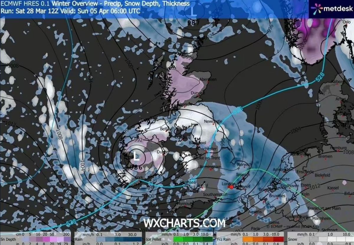
A map shows blizzard-like conditions on April 5(Image: WXCharts)
Counties that could see snow or frost on April 5:EnglandNorthumberlandDurhamCumbriaStaffordshireGreater ManchesterWest MidlandsYorkshireScotlandAberdeenshireAngusHighlandPerthshireWalesNorthern Ireland
The Met Office says the UK’s weather from this Tuesday (March 31) to Thursday (April 2) will be “changeable”, with a chance of “some drier and brighter intervals developing, especially in the southeast”. The national forecaster says conditions will turn “cooler again” by Thursday.
In its long-range UK forecast from April 3 to April 12, the Met Office says: “A broad northwest to southeast split is most likely during this period. The northwest is likely to be more unsettled with low-pressure systems moving in at times, bringing periods of strong winds and showers or longer spells of rain.
“In the southeast, high pressure will have greater influence, with more settled, drier weather as a result. Temperatures overall are likely to be near to or slightly above normal, but there remains the chance of some overnight frost.”