
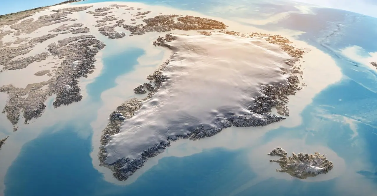
Greenland’s Ice Sheet: Melting at a Staggering Pace
The Greenland ice sheet is now melting at what can only be called a wild pace, according to the National Oceanic and Atmospheric Administration (NOAA, USA). This melt isn’t just a matter of local interest; it’s the second largest contributor to global sea level rise, right after thermal expansion of warming seawater (yes, even water wants to stretch out and relax as it gets warmer). For anyone who still needs a mental image: NASA satellite data shows Greenland is losing a net of 283 billion metric tons (gigatonnes) of ice each year. That’s so large, NASA offers a graphic comparing a single gigatonne of ice to the National Mall in Washington, D.C. (Spoiler: the ice wins by a landslide).
Bigger Than Sea Level: Worldwide Impacts
But wait, there’s more! Greenland’s melting ice isn’t just swelling oceans. It also profoundly affects global ocean currents and weather patterns everywhere—from local communities in Greenland who rely on fishing and hunting for their livelihoods, to polar bears losing precious space to rest, and even to people on distant continents. These changes ripple through ecosystems and human societies. To help humanity adapt to climate change, scientists need to keep very close tabs on how this region is evolving. Enter two invaluable sources of satellite data: ESA’s CryoSat mission (European Space Agency) and NASA’s ICESat-2 mission.
The Science: A Dual Satellite Dream Team
CryoSat’s radar system is great at penetrating clouds and getting below the surface of Greenland’s ice sheet. ICESat-2, on the other hand, uses laser signals that bounce off the ice’s actual surface but doesn’t work through clouds. Combine them, and for polar scientists, it’s a bit like finding the Holy Grail—a complementary set that lets them measure both surface and subsurface changes like never before.
A research team led by the UK’s Centre for Polar Observation and Modelling (CPOM) has, for the first time, laid out the numbers in Geophysical Research Letters. Between 2010 and 2023, the Greenland ice sheet thinned by an average of 1.2 meters (about 4 feet). But in places where summer melt outpaces winter snowfall, the average thinning shot up to a whopping 6.4 meters (over 21 feet).
Dramatic Losses: By the Numbers
Data from ESA and NASA, using their two satellites in synchrony, revealed an agreed-upon figure: between 2010 and 2023, Greenland’s ice sheet lost 2,347 cubic kilometers—that’s roughly as much water as Lake Victoria in Africa, the world’s third-largest lake, holds! And that’s not even the worst of it. At the Sermeq Kujalleq glacier in west-central Greenland (known internationally as Jakobshavn Isbræ), thinning hit 67 meters (about 220 feet). At Zachariae Isstrøm in the northeast, it reached a staggering 75 meters (246 feet).
The satellites’ nearly simultaneous orbits allowed researchers to merge radar and laser data from the exact same locations, offering unprecedented accuracy on snow depth and marine and terrestrial ice thickness from space. As Nitin Ravinder, CPOM scientist, highlighted in an ESA press release:
“The complementary nature of these two missions provides strong motivation to combine their datasets in order to produce better estimates of volume and mass variations of the ice sheet. As ice sheet mass loss is a key factor in global sea level rise—as well as ecosystem and weather disruption—this is incredibly valuable for the scientific community and policymakers.”
It’s a sobering snapshot of rapid planetary change, brought into focus by cutting-edge science and a pair of satellites working together to map what’s melting beneath our very feet.