
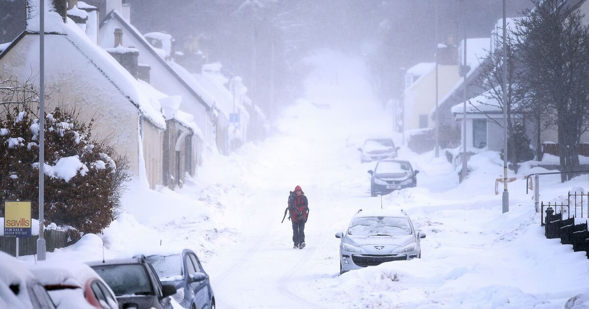
A snow blizzard will hit the UK later this month, according to the latest weather maps. Data from WXCharts.com is showing a cold blast hitting the north of the UK on Sunday, 26 April.
Scotland will likely be hit by up to 10cm of snow, but other areas in the UK could be affected as well. The north east of England could also be hit by the blizzards, according to the same maps, which show at least 2cm of snow.
WXCharts.com maps also show that in the north of the UK, the mercury could plummet below 0 °C on April 25 and 26.
The cold snap will mainly hit the UK in Scotland and in the north-west of England. In Scotland, temperatures could drop to -4C in and around Aberdeen, Glasgow, and Dundee, while in further south in England, the likes of Newcastle, Blackpool, and Manchester could feel -3C cold snaps.
Other areas in England will be hit by the changeable weather too, but temperatures are likely to remain a few degrees below freezing, such as in the Midlands and the North East.
The Met Office weather forecast for the period that goes from April 18 to April 27 reads: “A few showers around at the start of the period, mainly affecting the northwest where it will also be windy for a time. For many though the weekend should be fine and dry with spells of warm sunshine, but still some chilly nights.
“Into the following week fronts associated with another Atlantic low will try to push into the UK, but may struggle to make inroads against an area of high pressure to the northeast.
“So the greater chance of some rain is for western areas, while northern and eastern areas may well see plenty of dry weather. Temperatures likely remaining above average.”