
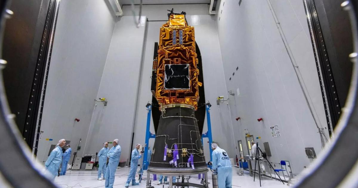
The forest-monitoring satellite, named Biomass, was developed, built, and tested by Airbus in Stevenage, alongside teams in Friedrichshafen, Germany, and Toulouse, France.
Biomass was designed to examine the world’s forests to better understand the carbon cycle and its impact on climate change.
During its five-year mission, the satellite would utilise a revolutionary radar instrument to scan the Earth’s forests from an altitude of 666km.
This radar was expected to deliver exceptionally accurate maps of tropical, temperate, and boreal forest biomass, aiding in the understanding of the role forests play in regulating the climate.
The spacecraft featured a 12-metre deployable antenna, which was crucial for capturing data that would illustrate changes in biomass due to forest loss and regrowth.
In addition to monitoring forests, Biomass was capable of measuring paleo aquifers in desert regions to identify new water sources in arid areas.
It would also contribute to observations of ice sheet dynamics, subsurface geology, and forest topography.
The radar was designed to penetrate the forest canopy, providing a completely new view of the Earth’s surface.
At the time, Alain Fauré, head of space systems at Airbus Defence and Space, said: “Biomass will give scientists and climatologists unprecedented data on the state of the world’s forests, further enhancing the understanding of the climate cycle.
“The spacecraft is now safely in orbit and ready to deliver its precious data.”
The data captured by Biomass would support a UN climate change initiative aimed at reducing emissions due to deforestation.
[From The Comet of April 29, 2025]