
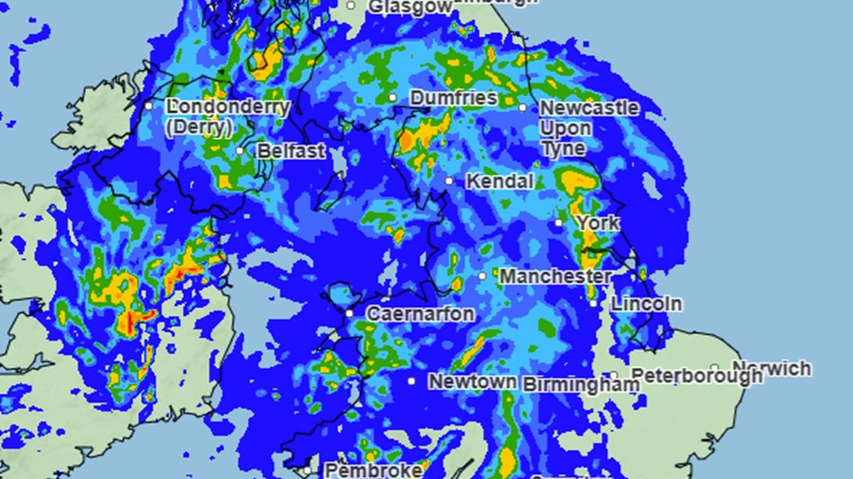
Monday will be a miserable day for many as low pressure crosses the UK, bringing some heavy downpours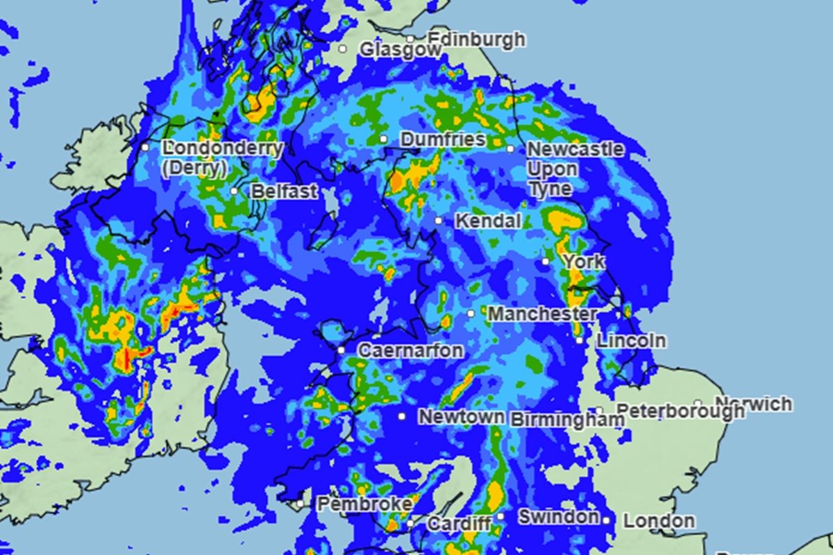
Monday is set to be a wet day with rain starting early in the morning in the west and covering most of the UK by the evening before clearing to the east on Tuesday (Image: Met Office )
As the heatwave dies down, Brits are facing a wet start to summer.
Temperatures soared over the bank holiday weekend with high of 35.1C reached in London at the start of this week. But forecasters say cooler weather is now on the cards, as well as a return to some unsettled conditions.
As June gets underway on Monday, large parts of the UK are likely to see some heavy rain and showers, with temperatures dropping to the mid-teens in most areas.
Click here to get the biggest stories straight to your inbox in our Daily Newsletter
Met Office chief forecaster Chris Bulmer said the recent spell of very hot weather will break down at the end of this week. “As the heat starts to ease, the weather will also turn more changeable, with some showers and thunderstorms possible,” he said. “By the weekend, temperatures should be much closer to average for the time of year with accompanying rainfall for many through the weekend and into the start of next week.”
In the latest 10-day forecast, Met Office meteorologist Aidan McGivern said the UK would likely see a repeated pattern of rain and showers followed by brighter spells during next week. “Monday is likely to bring a spell of wet weather into the north and west before eventually moving its way eastwards across the UK,” he said.
Another low system was likely to follow but with a ridge of high pressure in between, demonstrating the “theme for next week”, he said. “These low pressure systems will bring spells of rain followed by showers, followed by a gap, some drier and sunnier weather, before the next low comes in.”
Western areas are likely see the worst of the wet weather due to westerly winds and temperatures are likely to be cooler during the week, he added. According to the latest weather maps from the Met Office, Monday will see some significant rainfall before the wet weather eases by Tuesday morning.
Large parts of the UK can expect rain on the first day of June, which marks the start of climatelogical summer. Some areas will see heavy downpours, while others may see longer spells of lighter rain.
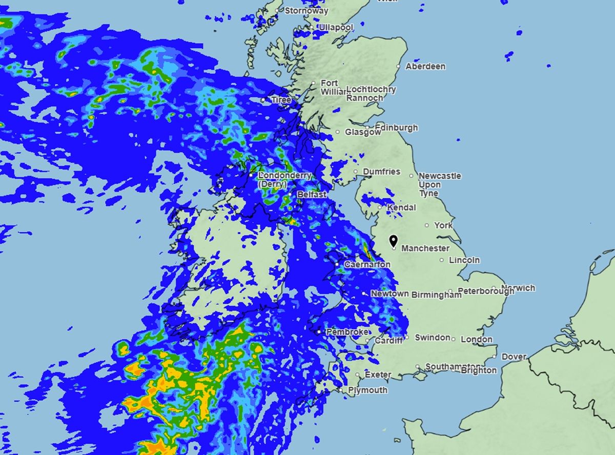
(Image: Met Office )
Weather maps for 7am on Monday show a large band of rain approaching England and Scotland from the west, with rain forecast across large parts of Northern Ireland and Wales.
By 10am, the maps show rain spreading across Cumbria, Lancashire and Greater Manchester, as well as parts of the Midlands, including Derbyshire and Warwickshire.
By lunchtime, some heavy rain is expected across a large parts of Wales, including Caernarfon, Pembroke and Swansea. A large area of central Scotland is also forecast rain and some heavy showers.
Weather maps for 4pm show the band of rain spreading further east, with rain expected from Wales all the way across to Nottingham, Lincoln, York and Darlington. Rain is also expected across the south west of England, with the heaviest downpours in Plymouth, Bristol and Shepton Mallet.
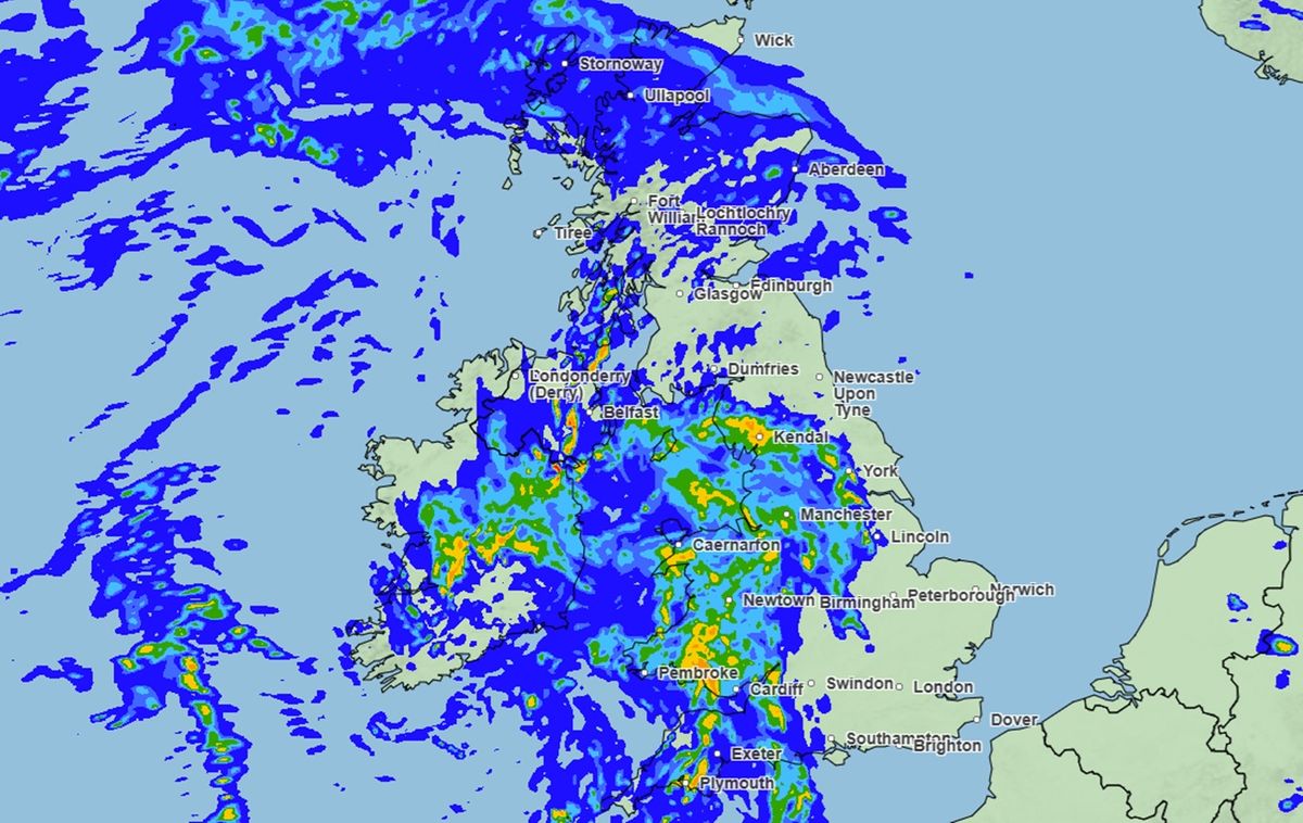
By 4pm, the rain will spread eastwards reaching parts of Yorkshire and the East Midlands, while Wales and the north west of England will continue to see some downpours (Image: Met Office )
By the evening, weather maps show rain across the whole of Wales and most of England, with just East Anglia and the south east, as well as parts of northern Scotland, expected to stay dry.
The rain is expected to continue through the night and into Tuesday morning before clearing to the east by lunchtime, with just some scattered showers forecast for the remainder of the day.
While unsettled weather is expected to continue for the remainder of the week, the Met Office has said there are “tentative” signs that more hot weather could be on the way later on in June. Mr McGivern said the UK could see the return of the high pressure from “mid June onwards” but said it is long way off meaning the forecast may still change.
The Met Office’s long range weather forecast for the period of June 12 to June 26 also suggests some hotter weather is on the cards towards the end of the month. It reads: “Temperatures are expected to be near normal at first, but probably rising above average as we head further into June.”