
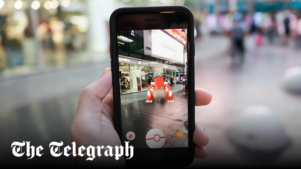
Niantic Spatial, a spin-off company, transformed the scans into a vast 3D map to be used when satellite signals are unavailable, allowing machines to locate and navigate themselves by sight in the absence of GPS.
In December, it announced a partnership with Vantor, which specialises in spatial detection software for drones, including military UAVs.
“The partnership addresses a critical vulnerability in modern operations: GPS unavailability, spoofing, interference, and jamming,” said the announcement. “When satellite signals are compromised, autonomous systems and field teams lose their ability to orient, coordinate or maintain accurate situational awareness.”
The companies told Guardian Australia that ground scans from the game were not directly given to Vantor but instead were used to train Niantic’s foundation models.
A spokesman for Niantic Spatial told the outlet: “AR [augmented reality] scans collected through Pokémon Go were submitted voluntarily by players who opted into the feature and were subject to the applicable terms of service and privacy policy at the time.”
In February, Vantor was awarded a contract worth up to $217m (£162m) from the US army for training software.
GPS jamming and spoofing – where a counterfeit radio signal is emitted to suggest a false location – are used in a host of conflicts, including the Ukraine and Iran wars. They are designed to mislead kamikaze and reconnaissance drones as well as GPS-guided missiles.
The Visual Positioning System, an alternative to GPS, allows for determining location using a camera that matches what it observes against a pre-existing, detailed 3D model of the environment. It is immune to traditional signal jammers.
Niantic Spatial and Vantor have been approached for comment.