
The prolonged spell of hot and dry weather will have “significant impacts” on health and social care services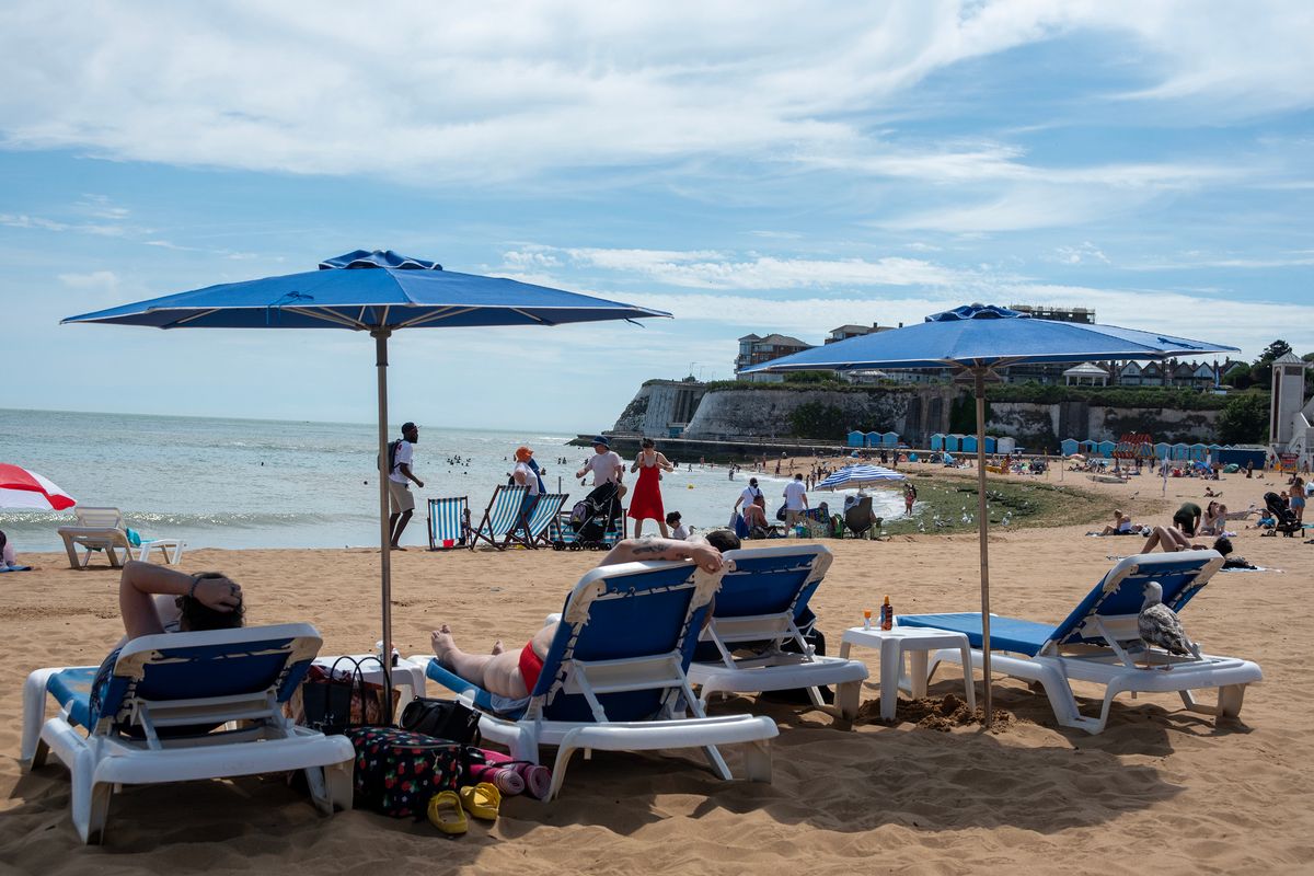
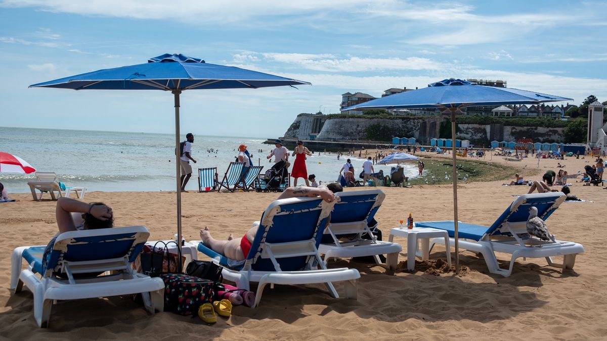
Extensive sunshine and lingering high pressure will make for a very dry and hot week in the south east.(Image: SOPA Images/LightRocket via Getty Images)
Forecasters have revealed when the ongoing heatwave which has brought more scorching temperatures to Kent this week is expected to end.
Highs of 30C and above have been forecast throughout the coming days in the south east, with some areas possibly seeing the mercury climb up to 35C at times, the Met Office has said.
These sweltering temperatures have been brought about by an area of high pressure which remains centred nearby, prompting extensive sunshine in the south of England.
The balmy weather is joined by light winds and a prolonged dry spell which will cause temperatures to climb steadily through the week.
This marks the third official heatwave of 2026, and while temperatures are not expected to reach the exceptional, record-breaking levels seen in June, many parts of the nation are likely to experience several consecutive days of hot weather. Following a balmy weekend and start to the working week, official heatwave conditions have already been met in Kent, which requires highs of at least 27C for three consecutive days, with further regions around the nation predicted to meet their local heatwave thresholds soon.
Met Office Deputy Chief Forecaster Steven Keates said: “Parts of the UK are entering heatwave conditions: the third heatwave in the UK so far this year. However, unlike the May and June heatwaves, we are not expecting this heatwave to be record-breaking.
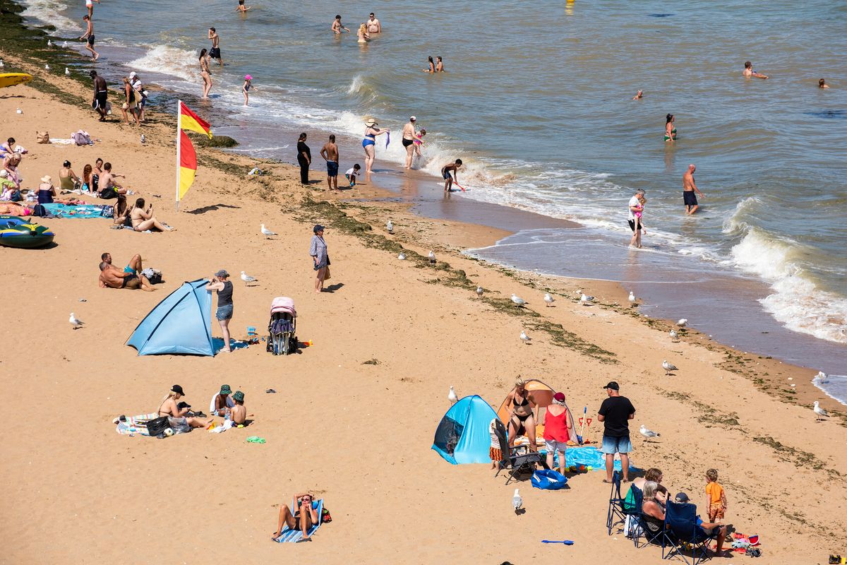
Temperatures will linger above 30C throughout this week.(Image: SOPA Images/LightRocket via Getty Images)
“Temperatures this week are not expected to reach the highs we witnessed last month, though parts of southern England in particular are likely to see several days in the low 30s Celsius, and a few places could reach 34-35C later this week. Night-time temperatures again will not be as high as what we experienced in June, though some larger urban areas are likely to remain in the high teens Celsius overnight, especially later in the week, and there is a chance that a tropical night (where temperatures do not fall below 20C) may be recorded in a few places.
“Much of England and Wales will be hot, and the heat will extend to parts of Scotland and Northern Ireland too, though here peak temperatures are more likely to be in the upper 20s Celsius. With high UV and high temperatures, people should take the usual precautions with the heat and the sun.”
In response to these latest forecasts, the UK Health Security Agency (UKHSA) has upgraded its heat health alert over the south east region from yellow to amber. The amber alert will be in place from 9am on Wednesday, July 8 and remain in effect until 9pm on Sunday, July 12.
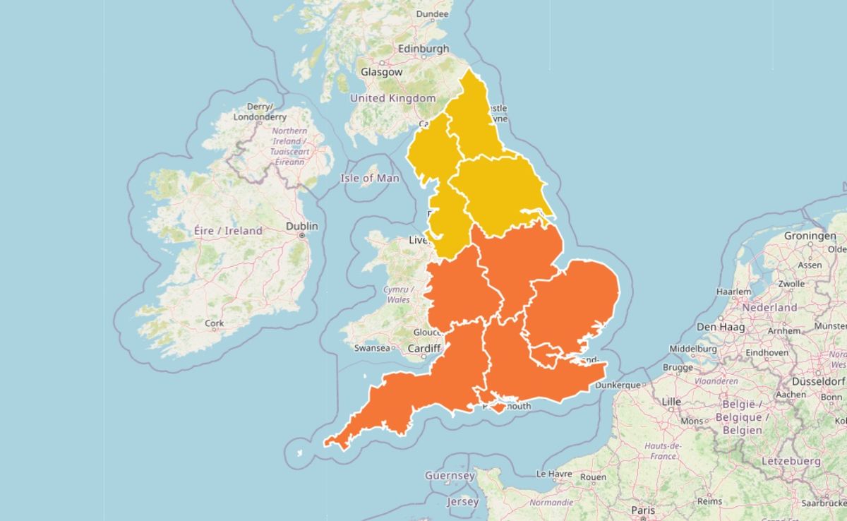
The amber heat health alert warns of a rising risk to life for vulnerable people, increased strain on health and social services, travel disruption and higher demand for power which may exceed capacity.(Image: UKHSA)
Due to the persistent high heat, the alert warns that “significant impacts are likely across health and social care services”. These impacts include:
A rise in deaths, particularly among those aged 65 and over or with health conditions. There may also be impacts on younger age groupsLikely increased demand on all health and social care servicesInternal temperatures in care settings (hospitals and care homes) may exceed the recommended threshold for clinical risk assessmentThe heat affecting the ability of the workforce to deliver servicesIndoor environments overheating increasing the risk to vulnerable people living independently in community and care settingsIssues managing medicinesStaffing issues due to external factors (for example, affecting transport)Increased demand for power exceeding capacityOther sectors starting to observe impacts (for example, travel delays)Water‑related incidents may increase, including risks from cold‑water shock and drowning
The Met Office has stated that the very warm conditions are likely to continue into the weekend, though current forecasts show that from here temperatures will grow a little cooler. BBC Weather predicts highs of between 24C and 27C across Kent on Saturday, dropping to the low 20s on Sunday.
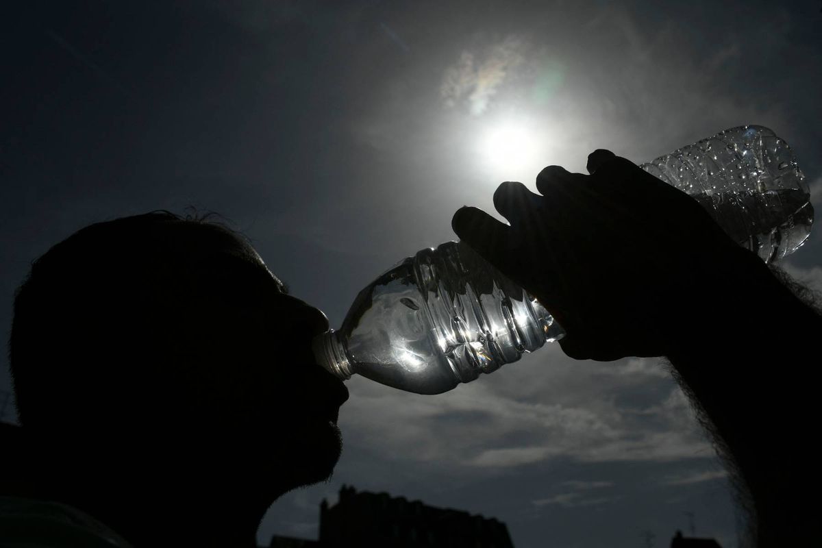
The public has been urged to follow a number of key steps to keep safe in the heat, including staying hydrated and avoiding prolonged exposure to the sun during the hottest part of the day.(Image: AFP via Getty Images)
Increasing humidity could result in outbreaks of heavy rainfall and thunderstorms during the weekend, ushering in some fresher weather next week. While temperatures will generally trend down in the week beginning Monday, July 13, many areas may continue to see dry, fine and warm conditions.
As the heat lingers this week, the public is advised to take sensible precautions to help keep safe. This includes staying hydrated, avoiding prolonged exposure to the sun during the hottest part of the day, and checking on vulnerable friends, family and neighbours, as well as using appropriate sun protection when heading outdoors due to the high UV levels expected this week.