
Is the UK set to see any snow soon?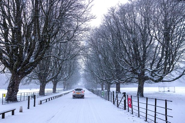 Snow in Wythenshawe Park, Manchester, in January(Image: Jason Roberts /Manchester Evening News)
Lead weather presenter at the BBC Sarah Keith-Lucas has issued a verdict on the UK seeing snowfall in October or November.
The weather in the UK has been fairly mild so far in autumn, which is currently being put down to a phenomenon known as anticyclonic gloom, according to the Met Office.
But when can we expect this to change? When might we see the first snowfall?
It is worth noting that in both the BBC and Met Office weather forecasts, there is no indication that the UK will see any snowfall in the upcoming weeks – but this can change so it is important to keep an eye on the forecasts.
Join the Manchester Evening News WhatsApp group HERE
BBC lead weather presenter Sarah has explained that although snow in October is rare in the UK, and known as ‘early season snow’, it is not unheard of. In October 2008, it snowed as far south as London, with up to 3cm lying across parts of southern England.
Snowfall is a little more likely in the UK by November – for example last year there was some early season snow with wintry showers as far south as Hampshire and the Isle of Wight.
 Snow in October is classed as early season snowfall(Image: Sean Hansford | Manchester Evening News)
In November 2010, persistent easterly winds also brought bitterly cold air from Siberia and resulted in much of eastern England and Scotland being blanketed in snow, with depths of more than 50cm over higher ground.
Meteorological winter doesn’t begin until December 1 but early season snow can still be heavy and widespread. Sarah explained that early season snow often doesn’t stick around very long as the ground temperature is still relatively mild during the late autumn months.
The most common months for snowfall in the UK are January, February and early March. There have been some notable snowfall events much earlier in the year, especially when cold Arctic air has spilled south across the UK. But any meteorologist will tell you forecasting snow is “notoriously tricky”, Sarah said.
BBC’s lead weather presenter explained: “That’s because of the geographical location of the British Isles, and the type of atmospheric setup we need to see in order to see snow. It’s not just low temperatures that lead to wintry precipitation, but we also need enough moisture and instability.
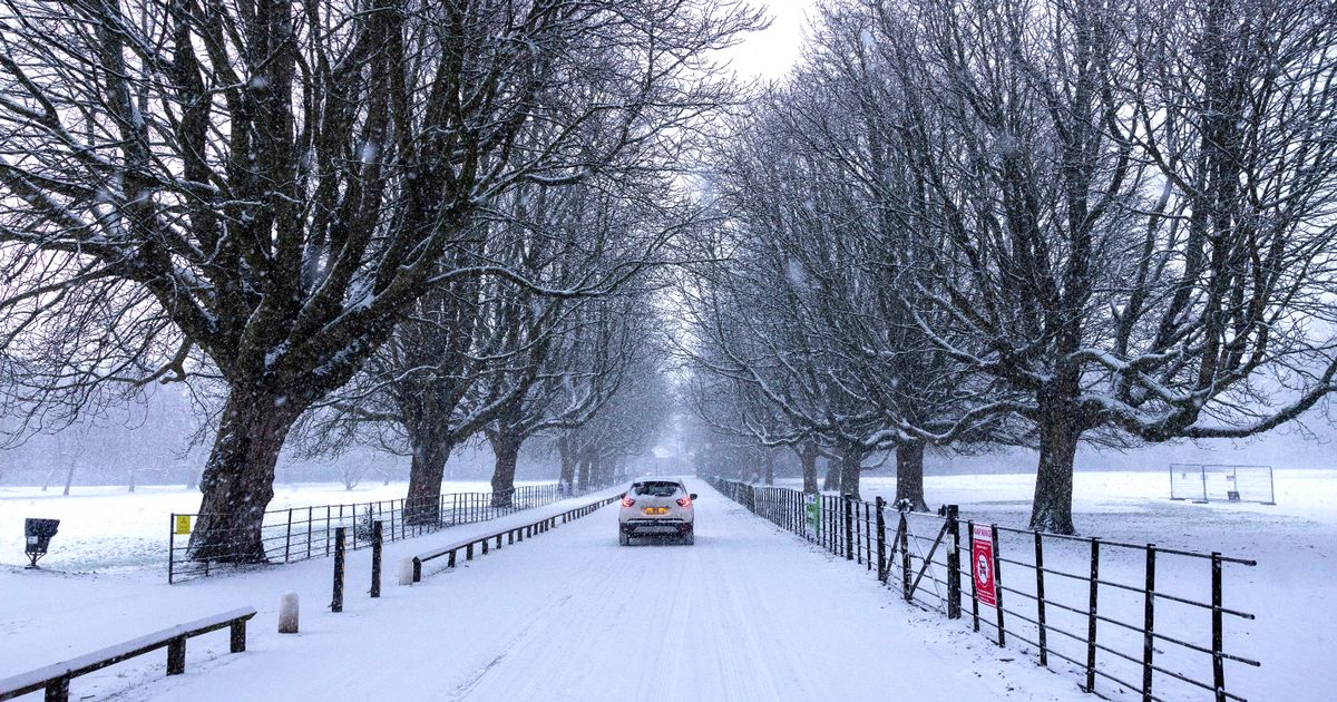
 Might the UK be hit with some early-season snow?(Image: SHARED CONTENT UNIT)
“So, whilst some headlines may claim to accurately predict ‘exact date of heavy snowfall’ several days or even weeks in advance, bear in mind that although longer range forecasts can give us a good indication of colder conditions and wintry precipitation, the details of expected snowfall are usually firmed up just a few days in advance.”
Where in the UK is most likely to get snow?
Sarah said that the UK sees an average of 13 days of lying snow each year. Although it does snow more regularly than this, it just doesn’t always settle.
Sarah added: “And the amount we get varies a great deal from place to place, and also from one year to the next.”
Across the UK, Scotland is the area which sees the highest number of days of snowfall, and the snowiest place in the UK is Cairngorm Chairlift at an elevation of 663m (2,175ft) with 76 days of snow each year.
In England, the snowiest places are generally found further north, and in the highest spots, especially the Lake District, the Pennines, but even the peaks of Exmoor and Dartmoor in the southwest see over 20 day of snow per year.
Copley in County Durham sees snow falling on average 53 days each year, and is home to one of only a handful of outdoor ski centres in England.