
The forecasts from the Met Office, published on Sunday, January 25, show snow is set to hit on Monday, January 26.
The forecasts from the Met Office, published on Sunday, January 25, show snow is set to hit on Monday, January 26.(Image: )
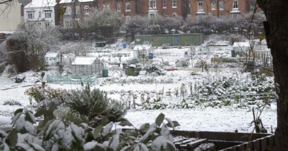
The Met Office snow maps have laid bare everywhere that will be SPARED snow as we head into Monday. The forecasts from the Met Office, published on Sunday, January 25, show snow is set to hit on Monday, January 26.
The working week begins with a wintry air and distinct chill, as the country braces for plumes of Arctic air and easterly winds, which could bring flurries from the Atlantic and Europe to boot.
The UK faces snow in the north of England primarily, as well as Scotland, the Met Office says. Meteorologists and forecasters have namechecked where expects snow – and, simultaneously, where will ESCAPE.
READ MORE Major UK supermarket becomes second most expensive after hiking staple item
The places set to be spared any snowfall on Monday, according to the Met Office written forecast and the maps on its forecast map page, are:
south west Englandsouth east EnglandWest MidlandsEast MidlandsGreater Londonsouth WalesNorthern Irelandnorth Wales
Netweather TV’s Nick Finnis said: “Areas of low pressure look to continually spawn along the jet stream which will act as a conveyor bringing them towards the UK, from the west and southwest.
“But tending to stall near the UK as they come up against blocking high pressure that persists to the northeast over Scandinavia.
“The blocking high to the northeast did, for a time, look to bring much colder air across the UK from this weekend, but now it looks to only bring cold air to Scotland, where we could see a fair bit of snow over the hills in the coming days, with snow possible on higher ground of the northern Pennines too.”
Mr Finnis went on to add: “But for much of England and Wales, the main weather concern over the coming days will not be snow but rather much more rain falling on already saturated soil in the south and west in particular.
“Parts of southern and western UK, along with higher ground in the north, could see over 100mm between now and Friday.”