
An evolving storm in the Pacific Northwest is drawing huge amounts of water from the subtropics, creating a system that could dump rain on San Diego County on Christmas Eve, the National Weather Service said.
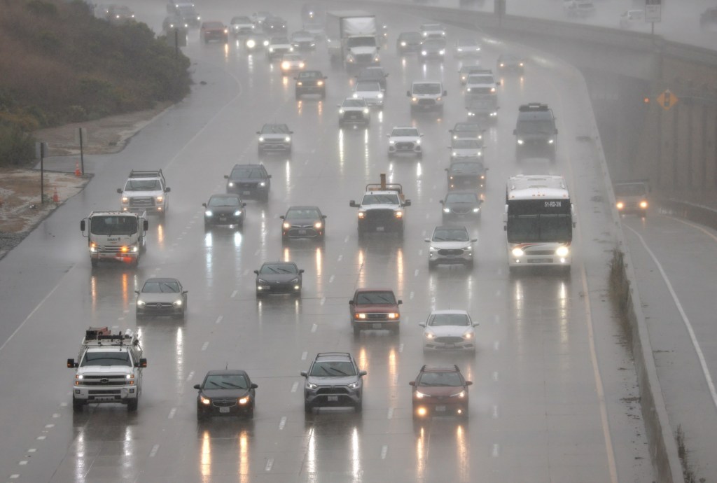
The size, speed and direction of the storm are still a matter of conjecture. But forecasters said on Thursday that an inch or two of precipitation could fall at and near the coast with higher amounts inland. The air will be comparatively warm, so heavy snow isn’t expected on the lower reaches of local mountains.
The outer bands of the storm could arrive as early as Tuesday, which is traditionally one of the busiest air travel days of the year. Upward of 85,000 passengers are expected to come through San Diego International Airport.
Scientists are following the matter closely, because the “atmospheric river” that’s moving across the sky from near Hawaii to the Pacific Northwest is impressive. The phenomenon also is known as the Pineapple Express.
Forecaster Adam Roser said Thursday that the storm could cause the San Diego River to flow hard on Christmas Eve, which could make it more difficult for shoppers to reach the Fashion Valley mall in Mission Valley. Swiftwater rescue teams will be monitoring such areas if the rain becomes especially heavy.
“Our meteorologists and operational teams are collaborating and definitely watching it closely,” said Brian D’Agostino, vice president of wildfire and climate science at San Diego Gas & Electric, which has one of California’s largest weather operations.
Since Oct. 1, San Diego International Airport has recorded 3.51 inches of precipitation, which is 1.38 inches higher than normal. The rain has greatly decreased the risk of wildfires throughout the county. It also has surprised forecasters. The region is experiencing a weak La Niña, which often results in below-average rainfall.