
Sunday’s winter solstice, the longest night of the year, was bracketed by widespread power outages that left streets littered with disabled Waymos and BART trains stuck in stations (opens in new tab). Two days on, San Francisco City Hall and thousands of homes are still dark.
If you’re looking for the light at the end of the proverbial tunnel, well, keep looking, because weatherwise, things may get worse before they get better. Here’s what may be coming in our own meteorological nightmare before Christmas.
Rain and wind
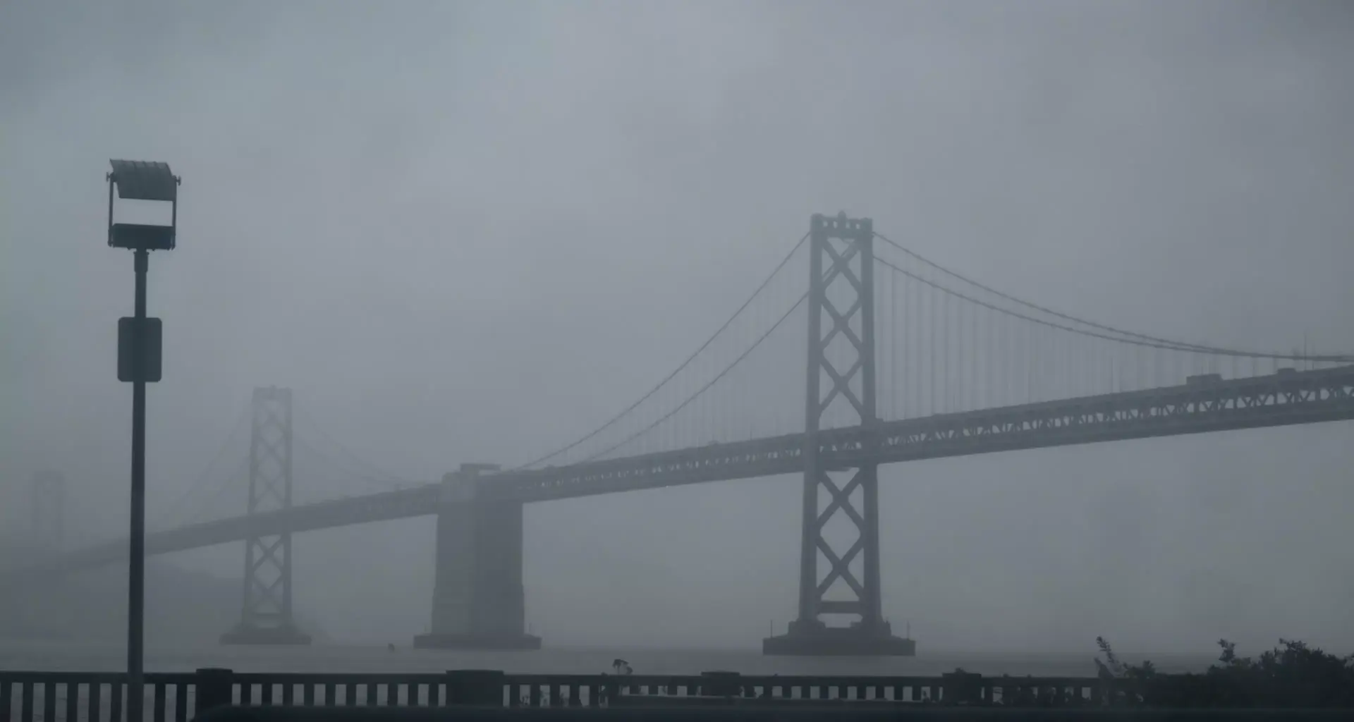
San Francisco got 2 inches of rain Sunday night into Monday, and the forecast calls for almost continuous downpours from noon Tuesday through Friday evening. It’s not just heavy precipitation, either; sustained winds will reach 20 to 30 mph, with gusts of almost 60 mph near the coast. That means a risk of downed trees and, worse, further power outages.
Sewage spills
With all due respect to the many restaurants that just tossed two days’ worth of food — including spoiled dough starters that continue to rise (opens in new tab) in the refuse — some consequences are even more disgusting. Stormwater has already overwhelmed the city’s antiquated sewage system, with three reports of “combined sewer discharges (opens in new tab)” (read: sidewalk runoff plus untreated human waste) detected along Ocean Beach in the past 72 hours.
No escape
Let’s put this dismal outlook into perspective. We’re probably not in for a repeat of the end of 2022, when 5 inches of rain inundated San Francisco in 24 hours, paralyzing the city for a full day. Nor are we likely to see another freak 6 a.m. tornado like the one that tore through the Mission last December.
But if you haven’t gotten out of town already, there’s almost no escape route left. The Sierra Nevada might get walloped with 6 feet of snow, and it’s going to be gusty up and down the state, making travel by air and road hazardous and prone to delays. The Donner Pass area of Interstate 80 already requires chains and could see ridgetop gusts up to 100 mph. (opens in new tab)
More cold coming
This parade of atmospheric rivers arrives at a precarious moment, with the East Bay experiencing one earthquake swarm after another. And after the last Pineapple Express blows through, we get one final lump of coal: Temperatures are poised to drop again, with lows in the 40s next week. All that’s missing this Christmas is for NORAD’s Santa Tracker (opens in new tab) to go offline.
Silver linings
Still, things are not entirely terrible. Tahoe’s “ski drought” may be over soon, humpback whales have been spotted (opens in new tab) in the bay, and the holidays remain a season of giving and hope, even when you have to wrap gifts by candlelight. Plus, according to these sunrise and sunset tables (opens in new tab), Monday has a full six seconds more daylight than Sunday did. Pouring rain or not, let’s cherish each and every one.