
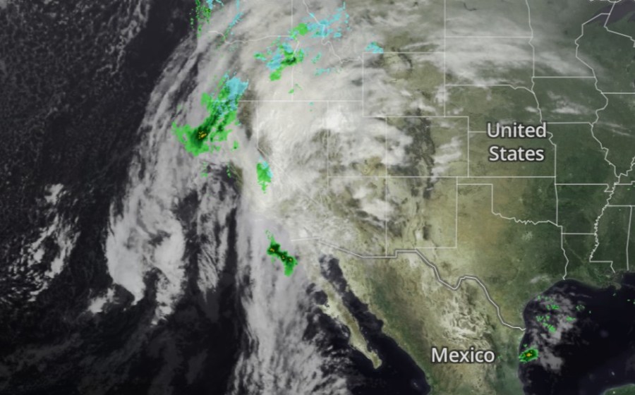
A major atmospheric river is moving into Southern California on Tuesday, bringing heavy rain through Christmas morning and lingering showers into the weekend.
Rainfall totals are forecast to range from 3 to 4 inches in most areas, according to the National Weather Service. “Rain will begin Tuesday in most areas with periods of heavy rain Tuesday night and Wednesday, as well as very strong winds,” the agency said in its daily update.
The storm could also bring flooding risks in low-lying areas and near wildfire burn scars, including the Pacific Palisades and Altadena, where mudslides are possible, forecasters warn.
Stay on top of the storm with KTLA’s interactive radar, which offers a variety of tracking tools and puts the power of our team of meteorologists in the palm of your hand.
You can move the map for a wide view or zoom into your neighborhood. Select layers for radar, satellite, or composite loops to monitor rainfall intensity and storm location. Additional layers show rainfall totals, current watches and warnings, temperatures, and wind speeds.
Please wait a moment for the map to load
For the latest on the storm, visit the KTLA weather homepage for current conditions, the latest video forecast, and 7-day forecasts for locations across Southern California.
Copyright 2025 Nexstar Media, Inc. All rights reserved. This material may not be published, broadcast, rewritten, or redistributed.
For the latest news, weather, sports, and streaming video, head to KTLA.