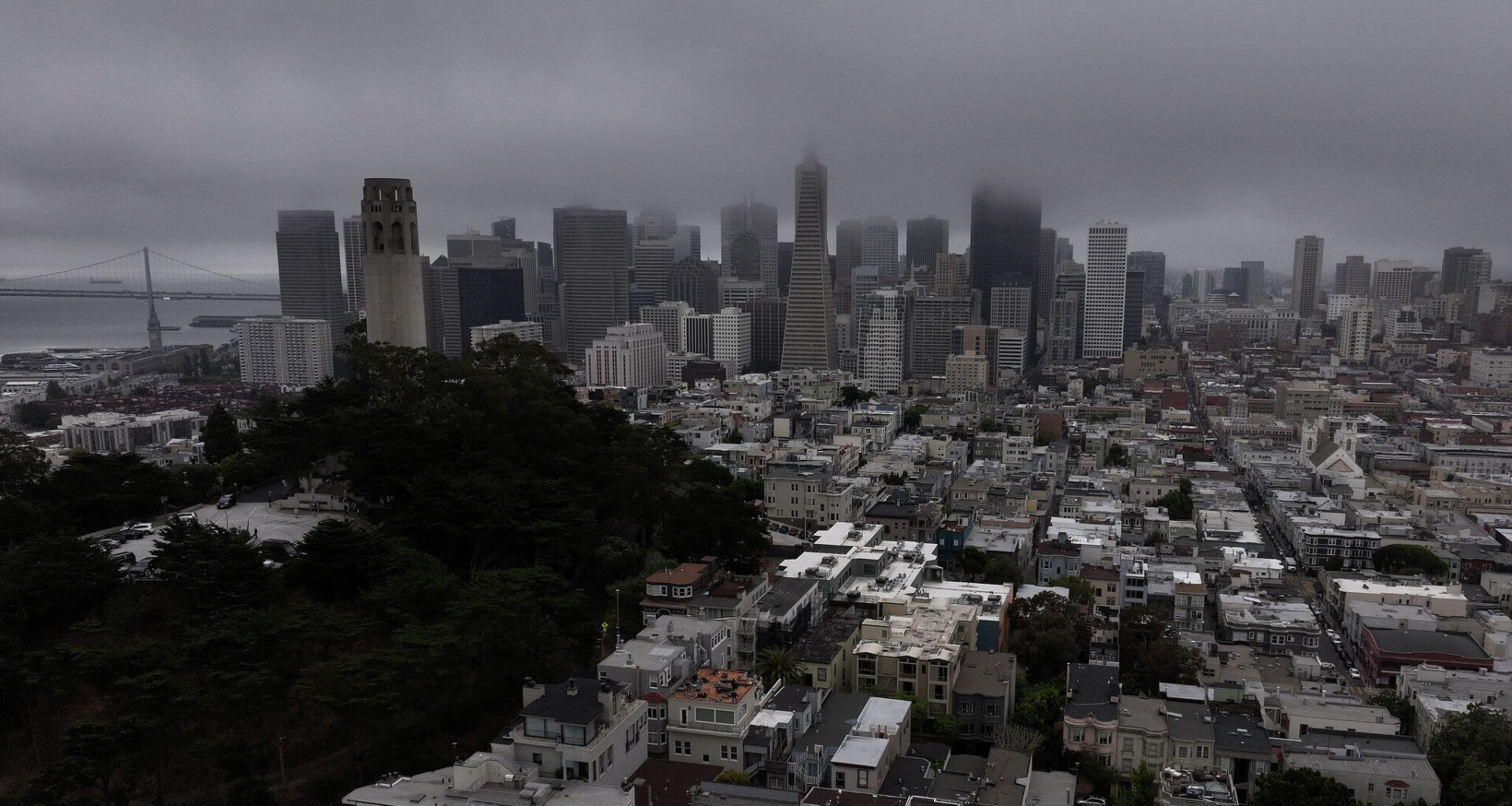
Swiftly moving rain showers are on their way to the Bay Area, bringing chances of thunderstorms, gusty winds and localized flooding in their wake.
Dylan Flynn, a meteorologist for the National Weather Service’s Bay Area office, told SFGATE the jet stream is the culprit. The narrow band of strong wind in the upper atmosphere typically moves west or east, but on Sunday was pushing a deep low pressure system from the Pacific Northwest “straight south toward us.” The storm is expected to hit the North Bay as soon as Monday morning.
“It’s moving really fast,” Flynn said over the phone. “It’ll only be an hour before it gets to San Francisco, and another hour before it gets to San Jose.”
The rain is forecast to persist through the afternoon, getting “heavy at times” before clearing out by midnight, he continued. Scattered showers will likely linger through most of the day Tuesday, delivering roughly half of an inch of rain in the North Bay and closer to an inch in the rest of the Bay Area. Flynn said the NWS doesn’t have a weather station in the Santa Lucia Mountains and therefore can’t offer a precise estimate of rainfall there, but noted they’re likely to get the heaviest precipitation with as much as three inches of rain.
Flynn said the storm sticks out for two reasons: not only is it coming earlier than usual for October, which is usually still coming out of the dry season, but it’s also particularly strong.
“It’s roughly an October’s worth of rain we’re expecting in two days,” he said. “We usually don’t get this much this fast.”
0.81 inches of rain are forecast for San Francisco – by comparison, the city usually gets 0.94 inches for the month. San Jose is also expected to receive twice as much rain than it sees in a typical October, with 0.93 inches of rain expected to fall this week compared to its usual 0.53 inches in a month, according to weather service records.
20 to 30% chances of thunderstorms are forecast across most of most of the Bay Area on Monday, decreasing to 10 to 20% chances more focused to the South Bay to the Central Coast on Tuesday. No severe storm criteria recognized by the weather service — that includes damaging winds of 60 mph, hail over one inch, or tornadoes — are expected in this system. However, Flynn said smaller hail could pile up on roadways, “making driving conditions really dangerous.” 30 to 40 mph gusts are possible, and the rain rate is also much higher during a thunderstorm.
“One inch of rain can’t cause widespread flooding,” he said, “but if you’re right underneath it, it can cause flash flooding in urban areas or those with more pavement, which is much less permeable than soil.”
In spite of the hazards, the storm will also bring its fair share of beneficial impacts. Flynn said the system is expected to put a damper on fire season, if not ending it completely on a statewide level. The rainfall will also build reservoirs and fill rivers that are running low after the dry season.
Conditions are expected to clear up by Wednesday. Check with the weather service for the latest updates on the forecast.

