
Enjoy the sunshine early this week — it won’t last.
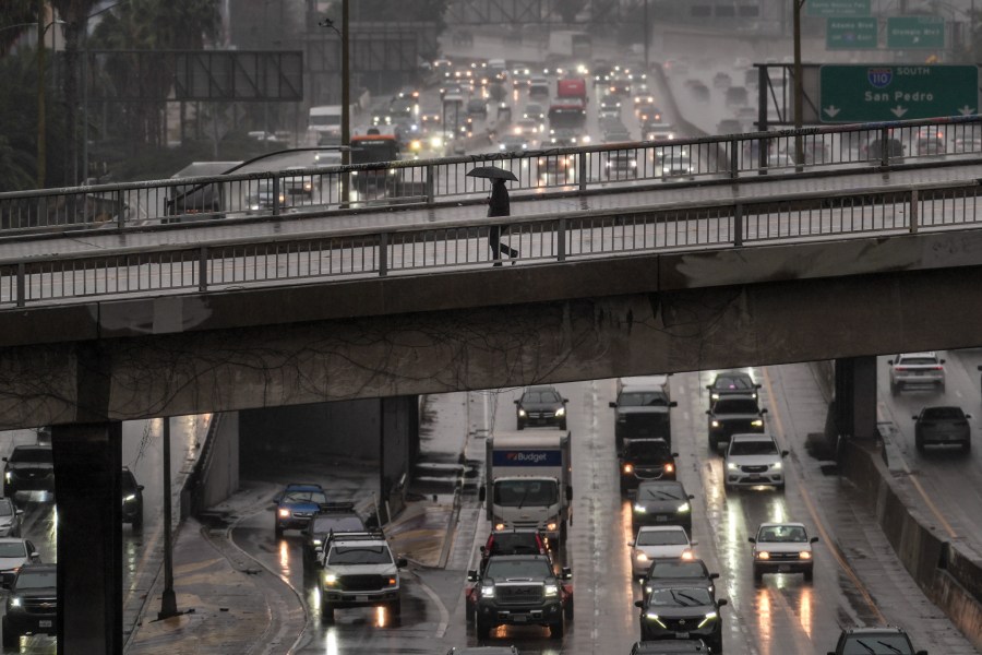
With the ground still saturated from the last week’s atmospheric river, another Pacific storm is headed for Southern California, promising significant rainfall.
Rain will begin Tuesday evening along the Central Coast and gradually shift eastward, according to the National Weather Service.
The heaviest precipitation is expected to hit metro Los Angeles Wednesday night, New Year’s Eve and New Year’s Day. Peak rainfall rates will range from 0.25 to 0.50 inches per hour, with heavier isolated downpours, the Weather Service said.
“This will be the period of heaviest rainfall with this storm, but likely still at least 50% lighter than the last event,” meteorologists said.
Projected rainfall totals are expected to range from 1.25 to 1.5 inches through New Year’s Day.
Those planning to attend the Rose Parade in Pasadena should be prepared to get wet.

Projected rain timing and totals from the National Weather Service. Dec. 29, 2025.
“The chances of a wet New Year’s Parade, including the night before when people camp out, are extremely high — 80% to 90% at this point,” the Weather Service said.
The last time it rained on the Rose Parade was in 2006.
There will be a break in steady rainfall Thursday night into Friday, with just scattered light showers. Then, another cold front from the northwest is likely to bring additional rain.
“Round two moves into the area Friday into Saturday,” KTLA weather anchor Kacey Montoya said. The amount of rain expected with the second round is still uncertain.
Copyright 2025 Nexstar Media, Inc. All rights reserved. This material may not be published, broadcast, rewritten, or redistributed.
For the latest news, weather, sports, and streaming video, head to KTLA.