
The buildings most likely to be affected by San Francisco’s new upzoning plan are those where apartments and multi-family housing already sit, according to an analysis of the plan by Mission Local. Single-family homes, meanwhile, are likely to see very little change.
The newest, amended version of the plan to make the northern and western parts of the city taller and denser, which was announced by Supervisor Myrna Melgar and Mayor Daniel Lurie on Thursday, would no longer affect some 84,000 units of rent-controlled housing.
Mission Local’s map of that proposal, which will go to the Board of Supervisors Land Use Committee on Monday, showed that 33 percent of multifamily units would see even higher and denser zoning. These are in buildings currently zoned for apartments, many of which have commercial storefronts on the ground floor.
The low-lying areas of neighborhoods like West Portal, Forest Hill, the Sunset, and the Richmond, meanwhile, are unlikely to see drastic change outside of commercial and transit corridors.
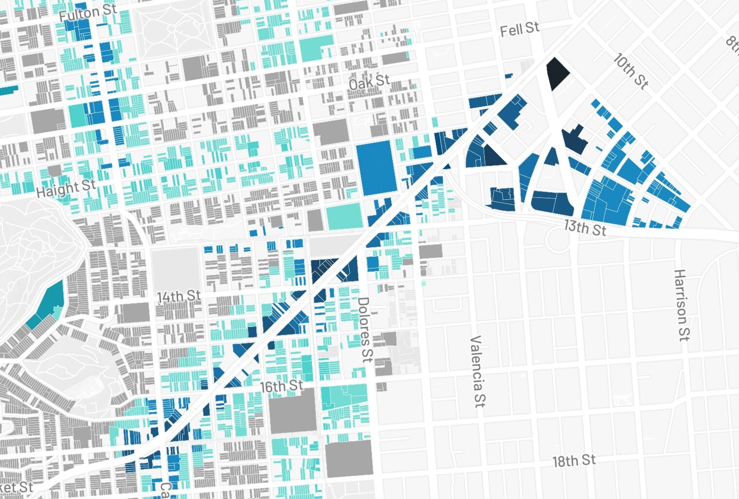
See how the new upzoning plan affects your neighborhood. Switching tabs shows the kinds of parcels affected in the amended plan.
Just 13 percent of single-family homes and condos in the plan would be upzoned. The large majority of those units would remain as-is: They were already allowed to be up to 40 feet tall before, and will remain at 40 feet if the plan passes.
That’s by design: The upzoning plan has focused on increasing heights along commercial streets and transit lines, including Geary in the Richmond, Judah in the Sunset, and Van Ness in Nob Hill.
If you don’t live in a single-family home or condo, your building is more likely to be impacted. Multifamily residences — a category that includes apartment buildings — are located along transit and commercial corridors far more frequently. They are more than twice as likely to receive height limit increases in the proposed changes.
That’s true even under the amendment that would exempt any rent-controlled buildings with three or more units, the majority of multifamily housing in the plan.
All buildings, regardless of type, will be subject to “density decontrol,” however. That lets developers build any number of units on a single lot, as long as height limits don’t exceed those in the plan and design standards are followed. Effectively, that means no more exclusively single-family zoning.
And businesses? Since many exist on commercial corridors, 84 percent would be upzoned.
That has some business owners, like the owner of Joe’s Ice Cream on Geary Boulevard, worried.
Sean Kim’s building was bought in 2022 by an architecture company. The firm then met with the Planning Department to discuss potentially redeveloping the site to add housing atop what is currently a single-story commercial building housing the ice cream shop.
Kim fears that his lease won’t be renewed when it expires in three years, forcing him to either relocate or close the business.
“Probably, once we’re displaced, we cannot come back,” Kim said with a sigh.
Relocating is extremely costly. If Kim can find another building that already has the freezers and grills needed for ice cream and burgers, he thinks it would cost between $100,000 and $200,000 to move. If the building doesn’t already have that infrastructure in place, it’s more like $500,000.
Kim and other business owners worry that building owners will have an extra incentive under the new upzoning to let commercial leases expire and then sell their properties for redevelopment. Taller buildings would let developers profit more.
The Planning Department, for its part, said development tends to occur on vacant commercial buildings and lots, not ones with profitable businesses that pay rent.
Planning staff explained that the upzoning focuses on commercial and transit corridors so that new housing is transit-oriented and more environmentally friendly. With housing near transit and businesses, residents can walk, bike, and bus more, and drive less.
That will ultimately help small businesses, staff said. “Locating new housing on or near these corridors means more vibrancy, more foot traffic and more customers for our local small businesses, especially over the long term,” Planning Director Sarah Dennis Phillips wrote in an email to Mission Local.
District 7 Supervisor Melgar, who introduced the rent-control amendment, is also concerned. She introduced the “Small Business Rezoning Construction Relief Fund” to give funding for small businesses displaced and impacted by neighboring construction, though it’s unclear how much the city will be able to afford.
Kim is worried it won’t be enough. A grant of around $10,000, for instance, “doesn’t even help one month,” of relocation, Kim said.
Tenant advocates, meanwhile, are also worried about displacement. Though rent-controlled buildings with three or more units will now be removed from the plan, two-unit buildings, plus non-rent controlled apartment buildings, are still included. Advocates say building owners may displace tenants in order to redevelop their property.
“The stress that it causes is so extraordinary,” said Joseph Smooke, an organizer with the Race and Equity Coalition. “You get this feeling of hopelessness. Your whole life is built around how you commute to work and where you get your groceries.”
The worry about the zoning changes comes after the state weakened cities’ ability to control demolitions in 2019. While the city used to be able to unilaterally decide whether to issue a demolition permit, now a series of objective criteria have to be laid out for developers to meet.
The criteria are written in Supervisor Chyanne Chen’s separate ordinance, and include the building being free of inspection violations and the landlord having no history of tenant harassment or wrongful eviction.
Once demolition permits are acquired, developers must notify tenants about their rights, hire a relocation specialist, pay the difference between the tenant’s old and new rent for 42 months, and, once the new building is complete, offer any low income tenants a unit in the new building for at least the same rent as before (or a condo at a below market rate price).
The Planning Department emphasizes that demolition of existing housing has been extremely rare. Since 2012, the department said, an average of just 18 units a year have been demolished, 11 of them single-family homes. This is 0.00004 percent of the city’s 420,000 units.
Or, as one market-rate developer put it: “If you’re a developer and you can have two buildings, one is vacant and one you’re going to have a fight with tenants that’s going to drag out for years and cost hundreds of thousands of dollars, which one would you do?”
Methodology
The San Francisco Planning Department provided the latest zoning files, from Sept. 30 2025. We joined this dataset with another one on property assessments from the Assessor Recorder’s office. This allowed us to gather more information about the properties on each parcel affected by the zoning changes. When we joined both datasets, a very small portion of the rows did not match (0.37 percent).
We isolated parcels eligible for rent control by including the following: Buildings built before or during 1979, with more than one unit, from selected class codes (that include apartments, dwellings, flats and exclude condos and TICs). This does not necessarily mean those parcels are currently tenant occupied – there is limited data on how many buildings have rental units that are rent controlled. For the amended plan, the same parameters apply but for buildings built before 1979 that have at least three units.
To run calculations about change in existing height limit compared to the proposed ones, we excluded parcels that fall under several zoning classifications (representing 0.3 percent of parcels — 310 of 92,744). On the map, these parcels are shaded light gray.