
Fresno City Council voted to adopt the West Area Neighborhoods Specific Plan on Oct. 16 after a multi‑year planning process that the city and community say aims to coordinate housing, parks, transit and street improvements west of State Route 99.
The council acted after a staff presentation and nearly three hours of public comment and council discussion. Casey Lauderdale, a planner on the Long‑Range Planning team, summarized the plan’s goals and described outreach that began in 2018 and included a steering committee, more than 60 meetings and multiple public surveys. “The community members and the steering committee made it known…they envision a West area that has enhanced infrastructure, new development that respects existing ag and rural residential, a diversity of housing stock, more parks and recreational spaces, including a flagship regional park,” Lauderdale said.
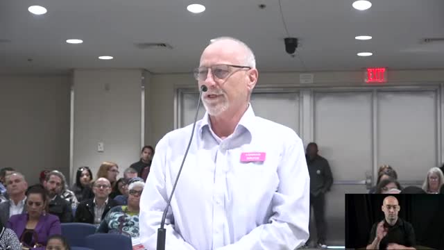
Supporters—including nonprofit and neighborhood leaders—told the council the plan addresses long‑standing gaps in sidewalks, safe routes to schools, parks and retail services. “This plan changes that narrative,” said April Henry, executive director of Highway City Community Development Corporation. She and other speakers urged the council to approve the plan to allow coordinated investment rather than piecemeal development.
Opponents and several property owners focused on specific land‑use requests and a proposed site for a regional park. The plan includes a dual‑designation approach for some parcels (reserve land‑use designations paired with potential park designations) and a prioritized list of park and transportation projects. Several landowners asked the council to adjust the land‑use map for specific parcels; staff recommended accommodating some requests that add housing capacity while rejecting other requests that would cause a net loss of capacity or conflict with plan policies.
The council debated placement of a proposed regional park that had been evaluated at multiple locations in the plan area. Staff originally scored a candidate site that hugged the Herndon Canal (the plan’s “C” site) highest for connectivity and readiness, but later recommended a slightly different “D” configuration tied to utility corridors and a power‑line trail. Several council members and residents expressed concern about a multi‑acre park being split by Shaw Avenue. After discussion the council adopted the plan with technical corrections and directed staff to incorporate certain land‑use adjustments the planning commission and staff found feasible.
Staff said the adopted plan increases citywide housing capacity by several hundred units (the environmental analysis and the plan’s errata quantify net capacity changes) and will be used to update the General Plan land‑use map. The plan formalizes a capital improvement program for initial VMT‑mitigation projects and directs future updates every five years.
The council vote approved the specific plan and the related general‑plan amendments and rezonings (with technical corrections noted in the staff report); the approved motion also adopted an errata document that recalibrates housing totals to reflect several accepted land‑use requests. Staff said several requests that would reduce capacity or are inconsistent with the plan are not being accommodated.
Lauderdale told the council the plan’s implementation chapter includes a multi‑page table of goals, policies and suggested measures so future decision‑makers can monitor progress. The plan identifies catalytic corridors for denser mixed‑use growth near transit, and a set of active‑transportation and transit projects that staff said will be eligible for funding through the plan’s VMT mitigation program and other sources.
Councilmembers praised the long outreach effort and urged prompt follow‑up with project‑level work. Councilmember Annalisa Perea, who represents a large portion of the plan area, thanked staff and the steering committee and said the plan provides a path forward for neighborhoods that long lacked coordinated investment. Councilmember Nelson Esparza, who moved approval, said the plan balances growth and protection of agricultural and rural edges while prioritizing transportation and parks.
The city clerk will publish the adopted land‑use map and the final environmental documents; staff said project‑level permitting and developer proposals will be evaluated under the plan’s policies and the California Environmental Quality Act. Some property owners whose change requests were not accepted said they may seek further review.
The council approved the plan with technical corrections requested by staff and directed planning staff to begin implementation steps, including updating the City’s General Plan maps and processing the rezones that conform to the plan’s land‑use map. Follow‑up work will include project‑level reviews, capital‑project sequencing and periodic five‑year reviews of the plan and its fee programs.