

Thanks to gusty Santa Lucia winds, California experienced clear skies and warm temperatures this last weekend. However, next weekend looks to be significantly more lively, as Northern California is set to be impacted by a bomb cyclone.
A new weather phase will occur as these winds ease and shift out of the northwest, causing the marine layer to rebuild along the coast on Monday morning.
Clear skies and mild conditions will continue across the region thanks to a transient 1,023-millibar high-pressure system over northern Nevada, which will maintain moderate to fresh (13 to 24 mph) Santa Lucia winds during the night and morning.
Temperatures will range from the upper 70s to low 80s in the inland valleys, mid-70s in the coastal valleys, and the low to mid-70s at the beaches.
Low pressure and dangerous rip currents
From here, low pressure will start to develop along the California coast by Monday, resulting in gentle west to northwesterly onshore winds of around 8-18 mph through Friday.
Low clouds and patchy fog or drizzle will start to form along the coast and spread inland at night and in the morning, reducing visibility.
The National Weather Service has also warned of dangerous rip currents along the California coast, in the San Francisco Bay area.
“A Beach Hazards Statement is in effect from 8 PM tonight through 8 PM Monday for all Pacific Coast beaches. A long northwesterly swell will increase the risk for sneaker waves and rip currents. Never turn your back on the ocean!” the NWS says.
By late morning, skies will begin to clear across the inland and coastal valleys; however, they will remain longer along the beaches before the afternoon depletes them.
From Tuesday to Friday, temperatures will be in the upper 70s in the inland valleys, low 70s in the coastal valleys, and low to mid-60s along the beaches.
Bomb Cyclone
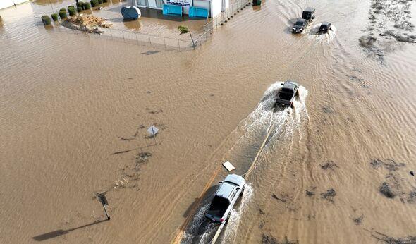
Northern California will experience increasingly problematic weather by next weekend, as powerful storms track from west to east over the Gulf of Alaska. One of these systems is expected to turn into a bomb cyclone, dropping more than 24 millibars in 24 hours.
The storm will arrive along the coast of Oregon at 966 millibars by late Saturday, bringing near-hurricane-force winds and heavy rainfall to Northern California.
San Luis Obispo and northern Santa Barbara counties are expected to receive between 0.33 and 0.5 inches of rainfall over the weekend.
However, the tumultuous weather is expected to die by Monday, and next week is looking significantly drier.