
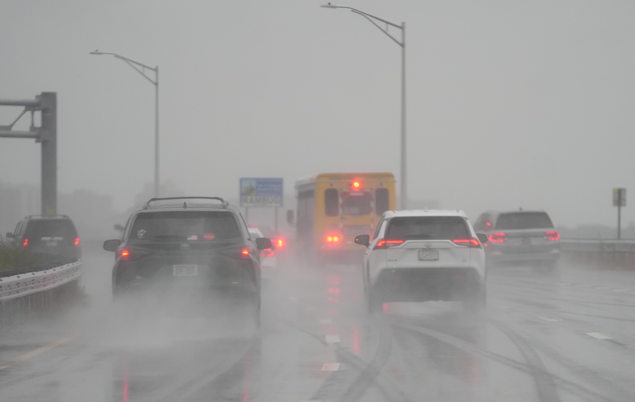
FREEPORT, N.Y. (PIX11) – A nor’easter is pounding the tri-state area on Monday, leaving parts of New York City and Long Island underwater.
Gov. Kathy Hochul declared a state of emergency for parts of the tri-state area on Sunday. Some places were expected to be hit with up to 3 inches of rain, according to PIX11 meteorologists.
Here’s how much rain fell in New York City and Long Island:
New York City
Bronx County
Kings County
South Slope: 1.43 in
Dyker Heights: 1.29 in
Brooklyn College: 1.16 in
New York County
Central Park: 1.17 in
Midtown: 1.11 in
Queens County
Kew Garden Hills: 1.85 in
Ozone Park: 1.82 in
Bellerose: 1.55 in
John F. Kennedy International Airport: 1.44 in
LaGuardia Airport: 1.34 in
Long Island City: 1.06 in
Richmond County
College of Staten Island: 1.02 in
Long Island
Nassau County
East Rockaway: 1.67 in
Great Neck: 1.61 in
Valley Stream: 1.59 in
Sea Cliff: 1.52 in
East Hills: 1.40 in
North Massapequa: 1.38 in
Hicksville: 1.31 in
Muttontown: 1.29 in
Long Beach: 1.28 in
Massapequa: 1.28 in
Levittown: 1.23 in
Massapequa Park: 1.19 in
Bethpage: 1.16 in
Syosset: 1.16 in
Bellmore: 1.13 in
Wantagh: 1.13 in
Port Washington: 1.13 in
Suffolk County
Commack: 2.01 in
Eastport: 1.83 in
East Setauket: 1.74 in
Easth Hampton Airport: 1.69 in
Miller Place: 1.67 in
Stony Brook: 1.66 in
Selden: 1.59 in
Dix Hills: 1.58 in
Montauk Airport: 1.56 in
Northport: 1.55 in
Southold: 1.53 in
Saint James: 1.52 in
East Hampton: 1.47 in
Dix Hills: 1.45 in
Melville: 1.43 in
Central Islip: 1.42 in
Ridge: 1.35 in
Westhampton Airport: 1.34 in
Smithtown: 1.32 in
Baiting Hollow: 1.32 in
Blue Point: 1.23 in
Sayville: 1.21 in
Patchogue: 1.19 in
Northport: 1.19 in
Shirley: 1.16 in
North Patchogue: 1.15 in
Shinnecock Hills: 1.14 in
Bay Shore: 1.12 in
Islip Airport: 1.10 in
Fair Harbor: 1.08 in
An additional 1 to 2 inches of rain is expected to fall Monday night into Tuesday, according to the NWS.
Commuters are being asked to work from home if possible. If residents need to travel, officials are warning them to plan for additional driving time and alternative routes.
To check Con Edison power outages, click here.
Check here for PSEGLI power outages.
The storm is expected to move out of the region by Monday night. Tuesday is expected to be cloudy, breezy and rainy before skies start to clear out in the afternoon.
Erin Pflaumer is a digital content producer from Long Island who has covered both local and national news since 2018. She joined PIX11 in 2023. See more of her work here.