
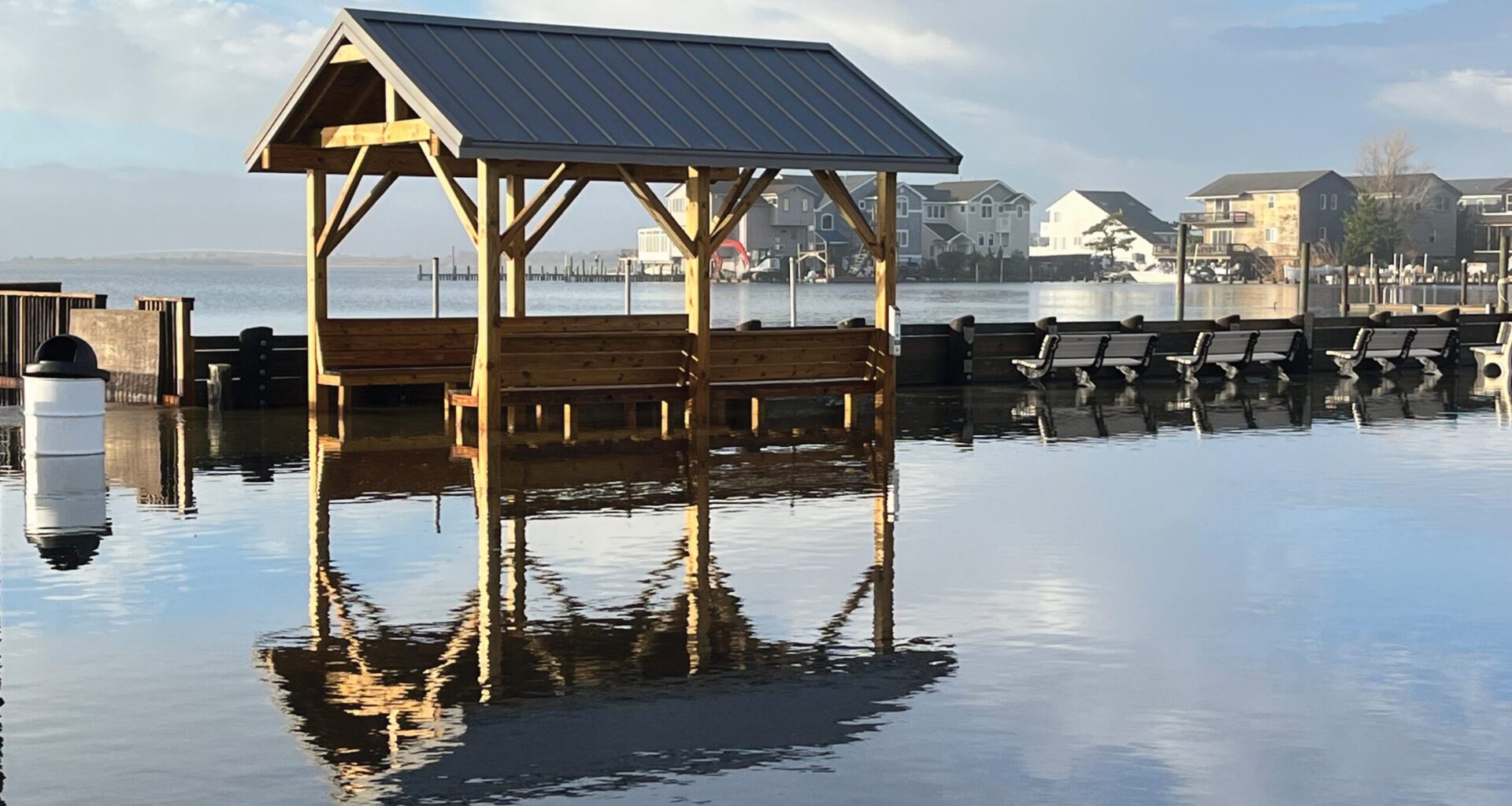
WATER WORLD: Flooding on LBI is getting more frequent, and new state guidelines aim to increase the elevation of new construction. (Photo by Gail Travers)
The email arrived on a Tuesday about new New Jersey Department of Environmental Protection guidelines, under the heading of Resilient Environments and Landscapes (REAL) and effective Jan. 20, on elevation levels for homes in flood zones. Four feet. Just like that, we are being told to go 4 feet higher than every calculation we’ve been making, every foundation we’ve designed, every schematic we’ve perfected. And this goes for every family that was a grain of sand away from their new shore house.
Four feet doesn’t sound like much until you understand what it means.
It means the house you bought because it was already lifted – the one that checked every box, that met every requirement, that represented safety and smart investment – is already behind the curve. The house that passed final inspection on Jan. 19 at dinner is now a legacy home by next morning’s breakfast. Not wrong, just yesterday’s answer to tomorrow’s question.
It means we’re about to have a very necessary, very complicated conversation about what a house on Long Beach Island is supposed to look like.
I’m not here to argue with the ocean. The ocean doesn’t negotiate. It just shows up when it wants to, takes what it wants, and leaves. Barrier islands are fragile. We know this. The DEP knows this. And someone had to have the conversation nobody wants to have. Someone had to look at the data – the sea level projections, the storm intensification models, the uncomfortable trajectory of the next 75 years – and make a call that won’t win them any friends at the beach badge sales office.
So here we are. Four feet.
What keeps me thinking isn’t whether we need to adapt. We do. It’s how we do it. Four feet is a lot of things, but gradual isn’t one of them. It’s a step change in a system that’s still finding its footing. Homeowners have spent years learning the language of elevation certificates and flood zones. Municipalities have rewritten ordinances. Builders have refined their methods. We found a rhythm. And now the music’s changed.
Here’s the geometry problem: height restrictions. In most LBI municipalities, you’ve got a hard cap on how tall your house can be. Add 4 feet to the base flood elevation and suddenly the math gets uncomfortable. Either you lose a story – try explaining that to someone who just invested in a building lot – or you’re looking at flat roofs, which on a barrier island is an invitation for trouble. Or both.
This is the probable outcome unless the municipalities amend their zoning, which they might, which they probably should. But here’s where it gets interesting.
If we’re going to raise the height limit, and I think we have to, then let’s be smart about it. Let’s tie increased height to increased setbacks. The taller you build, the farther back you sit from your property lines. Because right now, we’re headed toward tall houses packed together like books on a shelf, casting shadows that leave neighboring properties in perpetual shade. It’s known as the canyon effect. You know it when you see it: streets that feel less like neighborhoods and more like corridors with house numbers.
And while we’re rethinking the rules, let’s ease coverage restrictions. Give builders a trade-off: more first floor area in exchange for less second floor footprint. Let the mass step back as it rises. It’s better architecture, better urbanism, and it makes sense when you’re building higher. The ground floor, the one that’s now 4 feet higher in the air, becomes more useful. The upper floors become less oppressive to neighbors.
I appreciate the long view here, the idea that if we do this right, we won’t need another code change until 2100. That’s not nothing. Proactive beats reactive every single time. The DEP is doing the job we pay them to do: looking at the horizon and telling us what’s coming, popular or not.
But I wish we had more time, a grace period measured in years, not weeks. I wish there had been deeper collaboration between the state and the municipalities that will actually implement this: the building officials who’ll interpret the guidelines, the zoning boards that will navigate the variance requests, the planning boards that will shape what this actually looks like on the ground.
I wish we could have done this incrementally, a foot every 15 years, maybe. Let the market adjust. Let the industry adapt. Let people plan their finances and their futures with something more than a month’s notice.
And I wonder if when the Federal Emergency Management Agency (FEMA) inevitably raises its base flood elevation maps to match the new reality, will it still be plus 4? Or will we add another increment on top of that? How do these systems talk to each other?
I don’t have answers, just questions and a measuring tape. And the understanding that someone at the DEP had to make a decision that would be unpopular no matter how they sliced it. They looked at the data and made the call. That takes guts. That’s what we need, even when we don’t like it.
But now comes the hard part: making it work. Making it practical. Making it something that doesn’t just protect houses but builds communities worth protecting.
Dan D’Agostino is an architect with Plan Architecture in Washington Township, N.J. He owns a vacation home in Beach Haven Terrace.