
“The good news for California, at least, is that the Southern and Central Sierra is doing, if not great, doing fine snowpack-wise right now, at least at higher elevations,” Swain said.
Swain said it’s still a little too early to tell if the rest of winter will ultimately be dry, but it would “take a miracle March and then some” to boost the snowpack ultimately.
If a snow drought emerges, it will have negative ramifications for both the state’s water supply and wildfire risk, although at the moment, reservoir levels are at about 70% of average.
“From the reservoir perspective, we’ll be OK, but from a hydroclimate whiplash perspective, it’s quite possible that California could enter once again another wet-to-dry cycle as we go from spring into summer,” Swain said.
But Swain said he is not yet banking on a dry rest of the winter. Even though forecasters suggest the next two weeks could further shrink the snowpack, “ what happens later in February and March is really going to tell that tale,” he said.
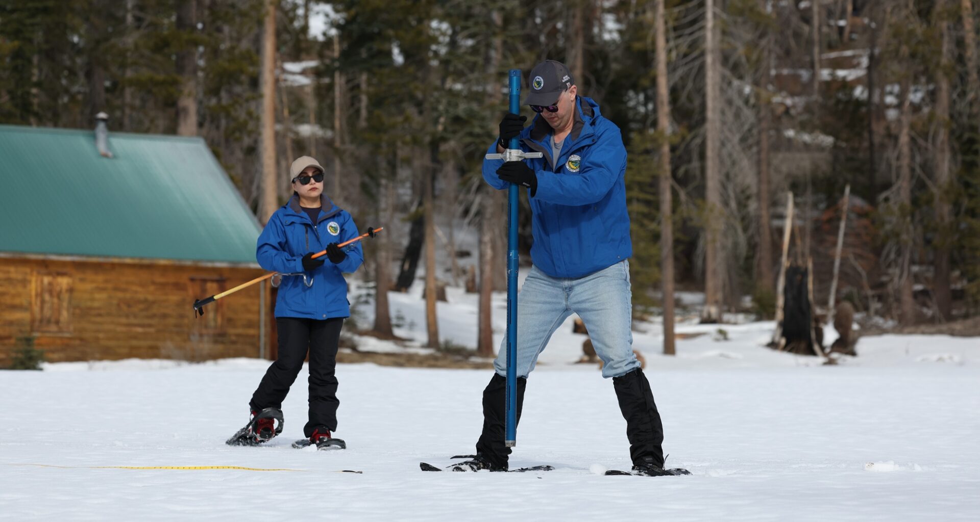
Reising understands it’s too early to predict snow across the mountain range, but “having two weeks ahead of us that we know is unlikely to produce any more snowpack and precipitation, that doesn’t look good.”
State climatologist Mike Anderson said there are “hints” that the second half of February could bring rain. For now, he’s holding out hope that “the storm door opens enough to get wet conditions to return.”