
Increasing clouds will lead to a few evening sprinkles as our weather pattern begins to shift heading into next week. Valley highs will still reach the mid-60s, while foothill temperatures climb into the low to mid-60s. Sierra highs will remain in the 50s.Monday will be breezy and cloudy as the region awaits a more widespread storm system approaching the West Coast. Snow will begin in the Sierra as early as Tuesday morning, starting with a few flurries before transitioning to moderate snowfall through the day.Tuesday and Wednesday are KCRA 3 Weather Impact Days, with 6 to 10 inches of snow expected at pass level. Chain controls, road closures, and significant travel delays are likely in the Sierra both days.Rain showers are expected to reach the valley on Tuesday, though the exact timing remains uncertain. Scattered showers will continue through at least the first half of Wednesday, producing between a tenth and a quarter inch of rainfall. Foothill locations could see up to a half inch of rain over the two-day period.A brief dry break is expected Thursday, but a stronger storm system is forecast to arrive late in the week, bringing another round of wet weather that will likely last through next weekend.
SACRAMENTO, Calif. —
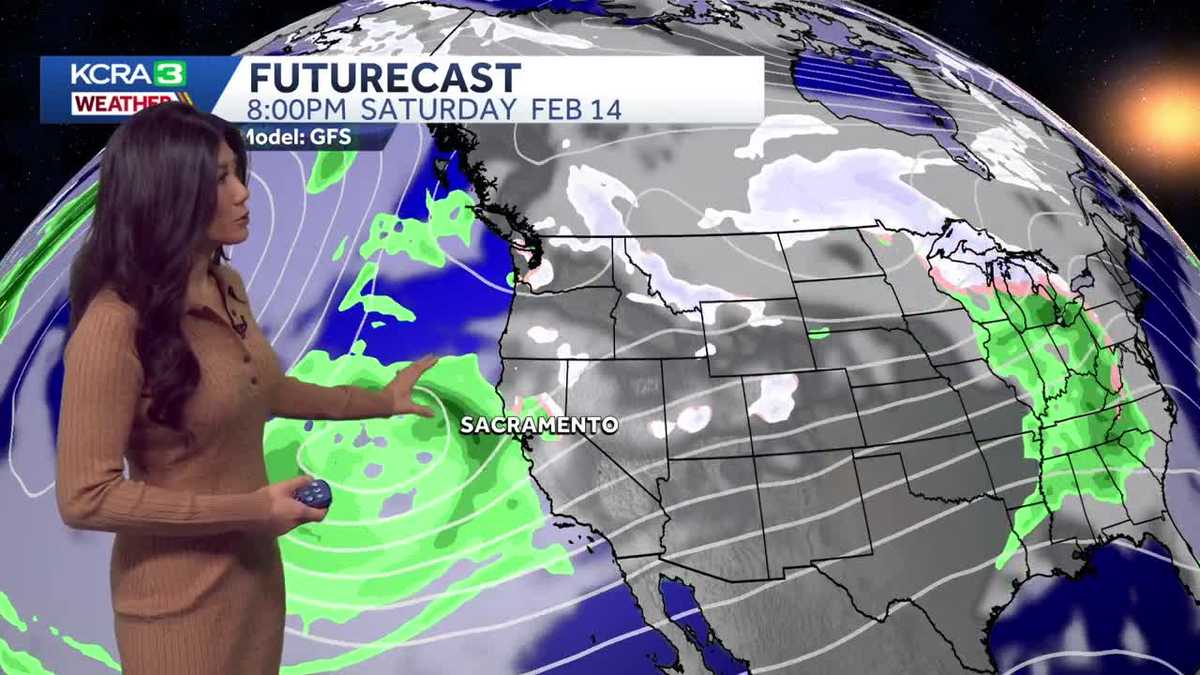
Increasing clouds will lead to a few evening sprinkles as our weather pattern begins to shift heading into next week.
Valley highs will still reach the mid-60s, while foothill temperatures climb into the low to mid-60s. Sierra highs will remain in the 50s.
Monday will be breezy and cloudy as the region awaits a more widespread storm system approaching the West Coast. Snow will begin in the Sierra as early as Tuesday morning, starting with a few flurries before transitioning to moderate snowfall through the day.
Tuesday and Wednesday are KCRA 3 Weather Impact Days, with 6 to 10 inches of snow expected at pass level. Chain controls, road closures, and significant travel delays are likely in the Sierra both days.
Rain showers are expected to reach the valley on Tuesday, though the exact timing remains uncertain. Scattered showers will continue through at least the first half of Wednesday, producing between a tenth and a quarter inch of rainfall. Foothill locations could see up to a half inch of rain over the two-day period.
A brief dry break is expected Thursday, but a stronger storm system is forecast to arrive late in the week, bringing another round of wet weather that will likely last through next weekend.