
More clouds will fill the skies Monday as the region prepares for Weather Impact Days on Tuesday and Wednesday.Despite increasing cloud cover, temperatures in the valley and foothills will climb into the low 60s, while the mountains stay cooler with Sierra highs in the low 40s. The first half of Monday will be breezy, with northwest winds blowing 10-20 mph across the valley.These changes arrive ahead of a widespread storm system approaching the West Coast. By Monday evening, the Sierra could see a few snow showers developing above 6,000 feet.Snowfall will become heavier and more widespread through Tuesday morning, with Tuesday and Wednesday designated KCRA 3 Weather Impact Days. Rain showers will begin reaching the foothills and valley during the Tuesday morning commute, becoming more widespread through the late morning and afternoon. Prepare for a slick Tuesday afternoon commute through light to moderate rainfall.By Tuesday evening, rain will turn more scattered and showery but will linger through much of Wednesday. Snow will continue in the Sierra as snow levels drop to around 5,500 feet. As the center of the storm system moves inland, a few thunderstorms will be possible Wednesday.Conditions will begin drying out Wednesday evening. By then, 6-10 inches of snow are expected at Sierra pass levels, with up to 14 inches possible on the highest peaks. In the valley, Sacramento could see up to a half inch of rain, with higher totals to the north. Foothill locations north of I-80 may receive more than an inch of rain over the two-day period.A dry break is expected Thursday and Friday, but another stronger storm system is forecast to arrive next weekend, bringing another round of wet weather for Valentine’s Day and the days that follow.
SACRAMENTO, Calif. —
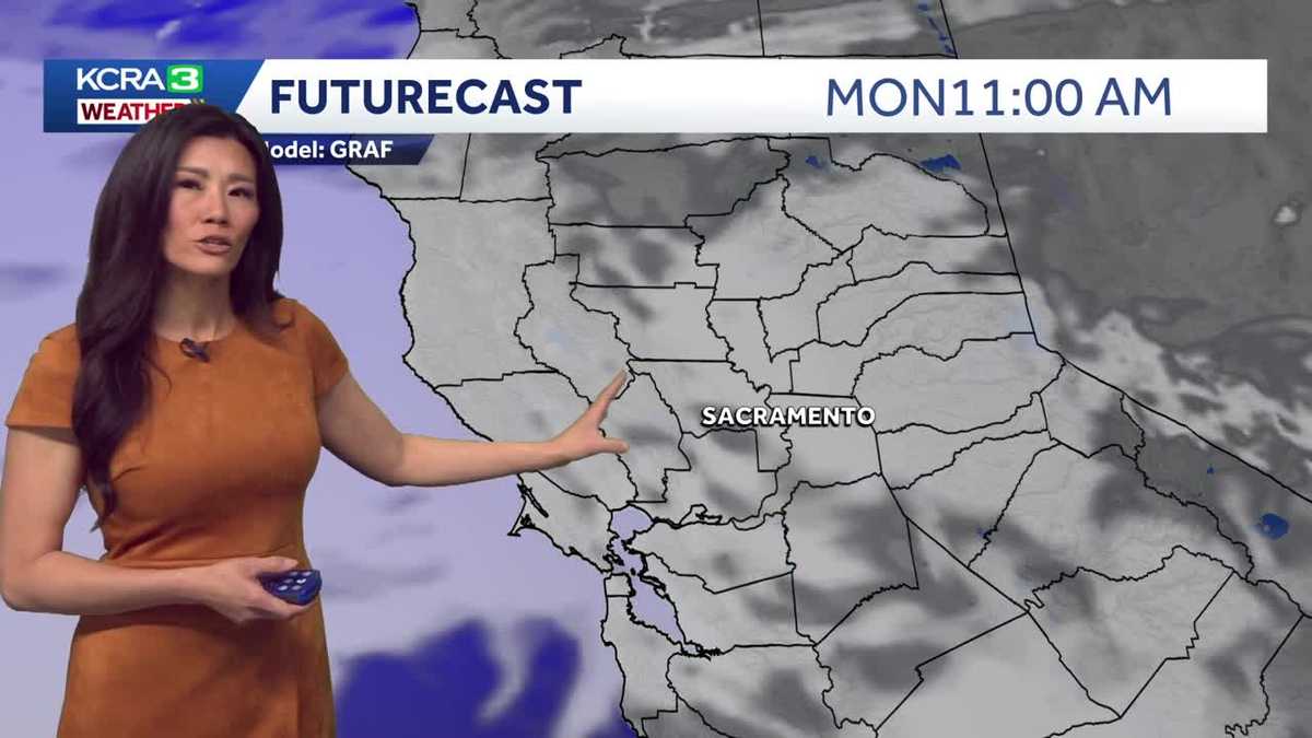
More clouds will fill the skies Monday as the region prepares for Weather Impact Days on Tuesday and Wednesday.
Despite increasing cloud cover, temperatures in the valley and foothills will climb into the low 60s, while the mountains stay cooler with Sierra highs in the low 40s. The first half of Monday will be breezy, with northwest winds blowing 10-20 mph across the valley.
These changes arrive ahead of a widespread storm system approaching the West Coast. By Monday evening, the Sierra could see a few snow showers developing above 6,000 feet.
Snowfall will become heavier and more widespread through Tuesday morning, with Tuesday and Wednesday designated KCRA 3 Weather Impact Days. Rain showers will begin reaching the foothills and valley during the Tuesday morning commute, becoming more widespread through the late morning and afternoon. Prepare for a slick Tuesday afternoon commute through light to moderate rainfall.
By Tuesday evening, rain will turn more scattered and showery but will linger through much of Wednesday. Snow will continue in the Sierra as snow levels drop to around 5,500 feet. As the center of the storm system moves inland, a few thunderstorms will be possible Wednesday.
Conditions will begin drying out Wednesday evening. By then, 6-10 inches of snow are expected at Sierra pass levels, with up to 14 inches possible on the highest peaks. In the valley, Sacramento could see up to a half inch of rain, with higher totals to the north. Foothill locations north of I-80 may receive more than an inch of rain over the two-day period.
A dry break is expected Thursday and Friday, but another stronger storm system is forecast to arrive next weekend, bringing another round of wet weather for Valentine’s Day and the days that follow.