
BAKERSFIELD, Calif. (KBAK/KBFX) — Winds of Change Are Heading Our Way…
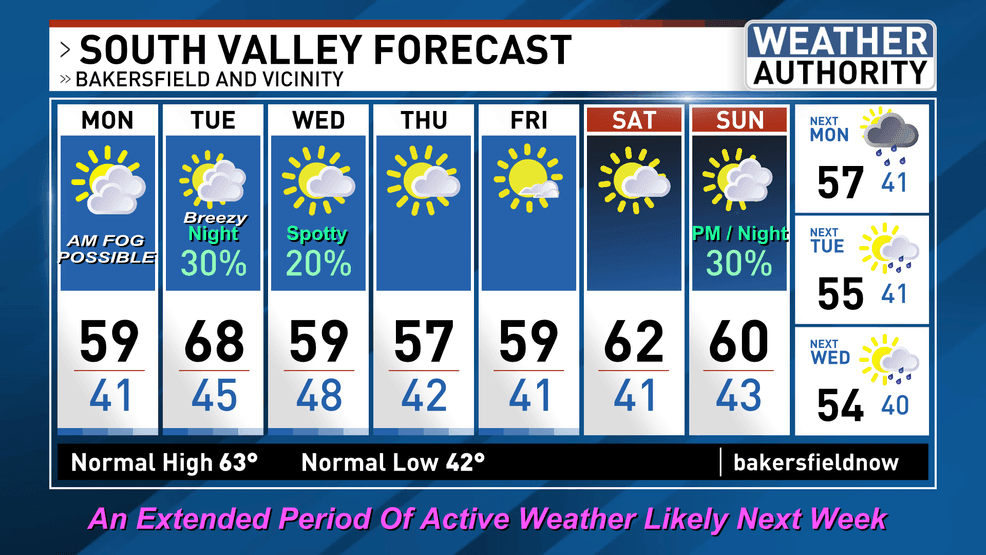
After weeks of status-quo weather around here that atmospheric pattern is about to get a make-over. We’re watching what should be a return to typical February weather, after a more than month-long hiatus. Today should see increasing high clouds across southcentral California after areas of morning fog over the central and south Valley clear away.
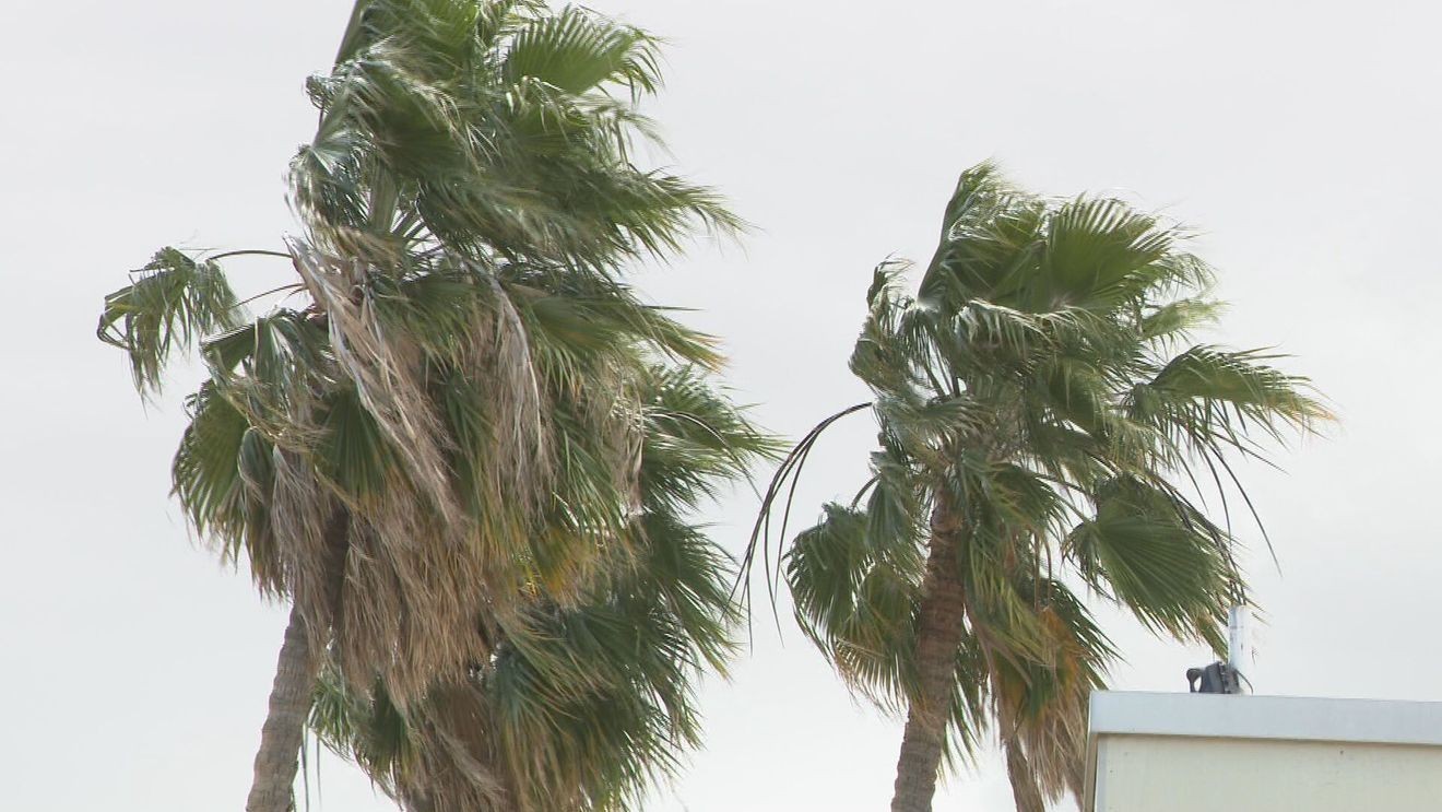
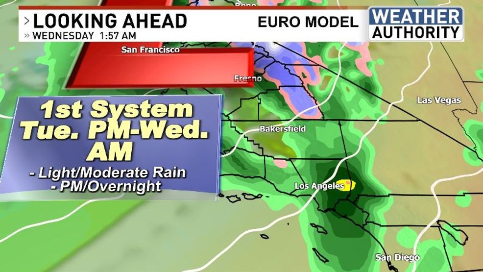
On Tuesday the first weather system is forecast to move into the State. Kern County’s most notable weather change during the day should be an increase in winds. These winds will be southerly and could drive up the temperatures within the South Valley. The opportunity for rainfall will increase toward the evening and maximize overnight and into early Wednesday. Mainly light totals are expected for our area but most communities in the region have a chance of at least some wet weather. Snow should stay confined to the higher mountain peaks.
Following this modest weather system several days of reasonably quiet weather should see us through the rest of the week and on into the upcoming weekend. At that point a much more impressive winter trough should be setting up shop over the North Pacific, gearing up for a West Coast arrival. That is when an extended period of active weather is likely, beginning around Sunday and continuing into the following week. Computer models have been quite consistent in depicting this particular pattern, lending above-average confidence in the overall atmospheric configuration that could see substantial rain amounts and significant mountain snow totals. This could finally be the most impactful “winter-storm” of the season for us locally, where the snows have been all but absent so far this year.
Stay tuned!
 Comment with Bubbles
BE THE FIRST TO COMMENT
Chief Meteorologist Ilya Neyman