
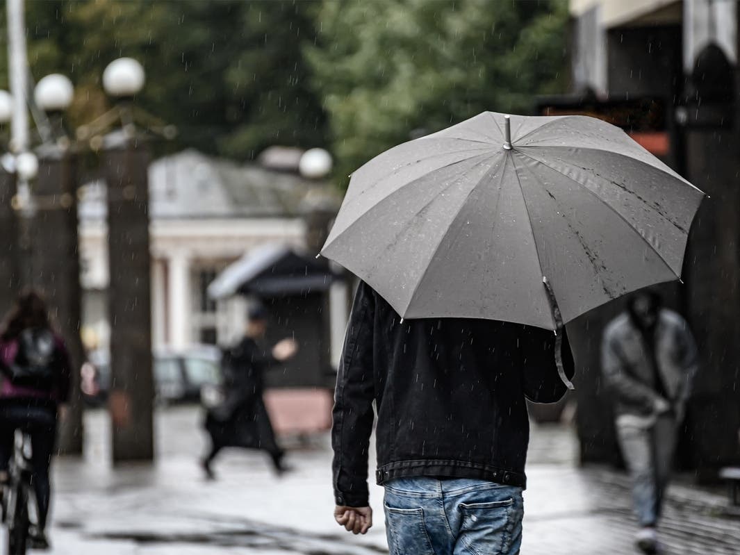
SAN FRANCISCO, CA — After a month of dry weather, the Bay Area is about to get a lot wetter in the next few days.
Weather officials predict two rounds of rain will hit the Bay Area, the first storm will arrive by late Tuesday morning and last into the night. A second round is forecast for Friday.
“Our little mini summer is over,” National Weather Service Meteorologist Dylan Flynn told Patch. “There’s going to be a pattern shift.”
That pattern shift is being driven by a jet stream that had been pointing at Canada and the Northwest much of the last few weeks, Flynn said, but now it’s pointing toward California.
Beneficial rain looks to move across the Bay area Tuesday and into week. Odds support an above normal chance for rainfall through at least mid-February. Stay tuned as we iron out details with each approaching storm system. #CAwx pic.twitter.com/v4rSVcXAmF
— NWS Bay Area 🌉 (@NWSBayArea) February 8, 2026
The jet stream itself doesn’t cause the rain, Flynn explained, but instead “opens the highway for storms to drive on.”
Tuesday’s rain is driven by a low-pressure system that will produce stronger winds and potentially thunderstorms along the coast, Flynn said.
There will be a small break from the wet weather on Thursday, before the prolonged second round starts on Friday. That rain is expected to last at least into mid-February, according to the NWS.
The amount of rain expected will be pretty typical, and widespread flooding is not expected, Flynn said. However, given the dryness of the last month, Flynn says he expects debris and oils to make roads slicker for drivers, especially during the first storm on Tuesday.
“It’s not going to be historically cold, but a combination of lows in the upper 30s and low 40s, plus wind, it’s going to feel nasty,” Flynn said. “We could even have a couple of snowflakes in the taller peaks around the Bay Area.”