
Most of Long Island received a light coating of snow overnight that could pose hazardous travel conditions Monday morning, the National Weather Service said.
The total forecast snowfall was 1 to 2 inches for Long Island and New York City, with the heaviest accumulations on Long Island’s South Shore. Snow- and slush-covered roads could result in slippery travel as temperatures hover in the upper 20s and lower 30s, forecasters said.
Before dawn Monday, major Long Island roads like Hempstead Turnpike and Route 109 in eastern Nassau had been plowed; side roads off those thoroughfares were still slushy.
The Long Island Expressway and the Northern and Southern State parkways showed no issues during the early Presidents Day commute, according to the website 511NY.
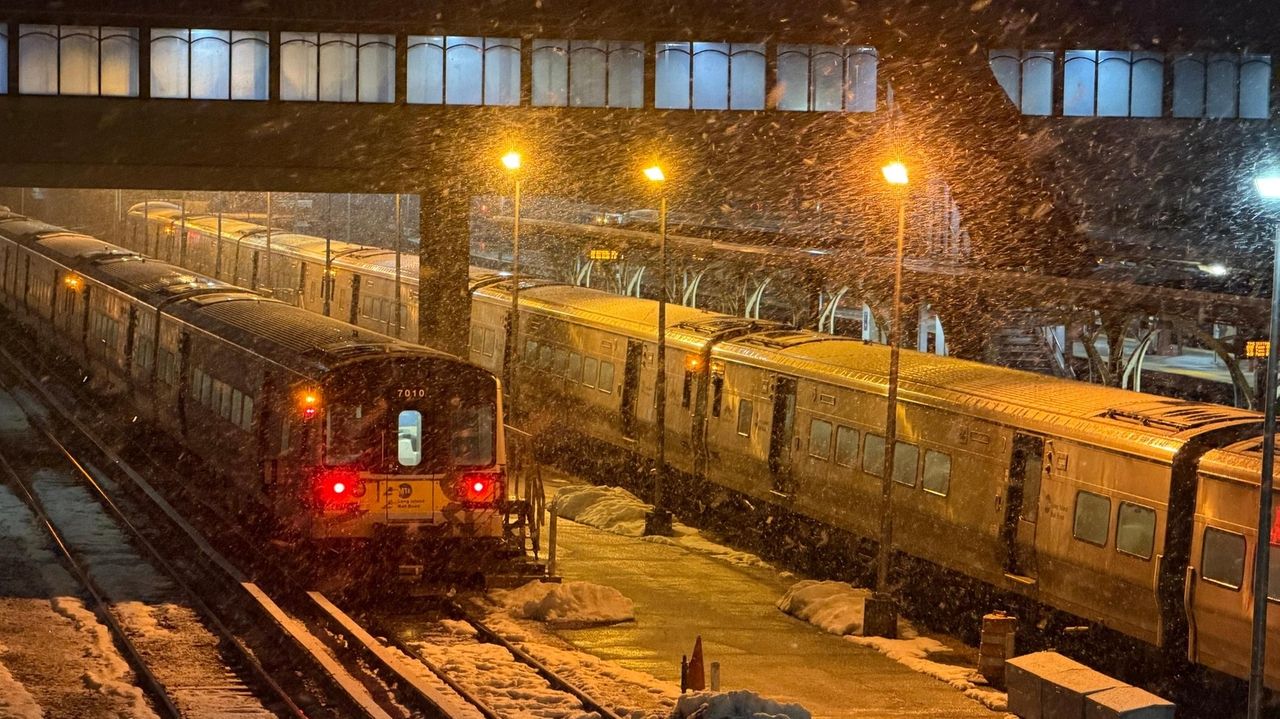
The Long Island Rail Road was operating on a weekend schedule Monday; there is a partial suspension on the Hempstead Branch for signal upgrades.
Also, westbound trains on the Ronkonkoma and Port Jefferson branches were reporting scattered delays averaging 10 to 15 minutes due to signal trouble west of Woodside and trackwork. Those two branches were also skipping stops at Elmont-UBS Arena, Queens Village, and Hollis due to signal work.
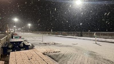
Snow falls on on the Boardwalk in Long Beach Sunday night. Credit: Jim Staubitser
Just before 6 a.m., Republic Airport in East Farmingdale was reporting 29 degrees with light snow. North winds were recorded at 10 mph.
Long Island MacArthur Airport was reporting 29 degrees and light snow, with northeast winds of 16 mph. There was light snow at John F. Kennedy Airport in Jamaica, at 31 degrees and northeast winds of 12 mph.
The morning snow and clouds are expected to give way to clearing skies Monday afternoon, with temperatures climbing through the 30s and reaching a high near 39.
Long Island is in for a pattern of thawing and freezing beginning Sunday and lasting much of this week. Temperatures will climb into the high 30s and low 40s during the day and dip just below freezing at night. forecasters said.
The thermometer hit 38 degrees under overcast skies Sunday afternoon in Islip.
Accumulations of just about an inch were expected in most places, but there might be “just a light dusting out on the Forks,” said Bill Goodman, a meteorologist with the weather service in Upton.
New York City’s Office of Emergency Management issued a weather alert for Sunday night through Monday morning, urging that care be taken on untreated roads and sidewalks.
The snow should end Monday before 7 a.m. as high temperatures reach about 38 degrees for the day, Presidents Day. Tuesday will be a little warmer, about 41 degrees, under partly sunny skies, according to the weather service.
After that, Goodman said, “We’re going to have a warm front that’s going to park to our south, with low-pressure systems passing to the west.” That will bring rain to the region Wednesday afternoon and night, and again early Friday.
That rain, and temperatures expected to reach the low 40s in the daytime Wednesday through Friday, should continue to melt the remaining snow.