
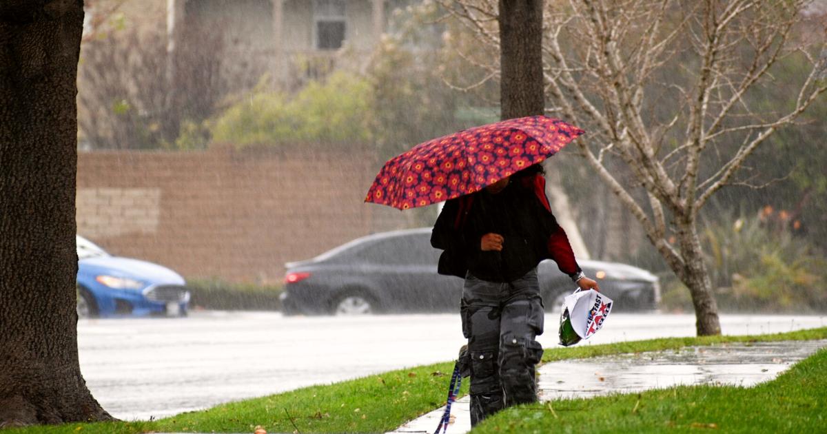
The Central Coast and much of California were walloped Monday by a powerful winter storm carrying treacherous thunderstorms, high winds and heavy snow in mountain areas.
Millions of Los Angeles County residents faced flash flood warnings as rain pounded the region and people in some areas scarred by last year’s devastating wildfires were under an evacuation warning through Tuesday because of the potential for mud and debris flows.
The storm wreaked havoc on roadways from Sonoma County to the Sierra Nevada. Traffic was halted temporarily in both directions on I-80 near the Nevada state line due to spinouts and crashes, the California Department of Transportation reported.
In Santa Barbara County, a large tree toppled onto US-101, shutting down southbound lanes in Goleta.
Forecasters said the western slope of the Sierra Nevada, northern Shasta County — including portions of Interstate 5 — and parts of the state’s Coast Range could see up to 8 feet (2.4 meters) of snow before the storm moves through late Wednesday. The heavy snow, wind and low visibility could also make travel conditions dangerous to near impossible, forecasters added.
Central Coast
Along the Central Coast, a cold front moved across the region Sunday dropping gentle rain and bringing cooler temperatures. On Monday, a second cold front, energized by exceptionally strong southwesterly winds and followed by low-pressure system moving out of the Pacific Northwest along the California coastline, generated southwesterly winds with periods of heavy rain.
In Santa Maria, the 24-hour period ending 8 a.m. Monday saw 1.14 inches at the public airport, Lompoc 1.01 inches, Santa Ynez .20 inches and Buellton .60 inches, according to Santa Barbara County public works.
In San Luis Obispo County, Nipomo saw 1.24 inches, and Arroyo Grande 1.17 inches.
On Tuesday, gusty west-southwesterly winds will continue along with rain totals expected to range from 0.75 to 1.25 inches.
An intense, fast-moving cold front will pass Wednesday morning, bringing southeasterly winds of 32 to 46 mph with gusts up to 60 mph, along with periods of heavy rain.
Forecasters said the western slope of the Sierra Nevada, northern Shasta County — including portions of Interstate 5 — and parts of the state’s Coast Range could see up to 8 feet (2.4 meters) of snow before the storm moves through late Wednesday.
Rainfall totals on Wednesday should range from 0.75 to 1.25 inches. Snow levels will drop to between 3,000 and 3,500 feet, while daytime highs remain in the low 50s across the Central Coast.
Altogether, rainfall totals from Sunday through Wednesday should range between 2.6 and 4.8 inches.
Sierra Nevada
As of Monday, drivers navigating the Sierra Nevada were warned chains were required on vehicles to make it through snowy roads.
“It has seemed ‘spring-like’ for a large part of 2026, but winter is set to show it’s not quite done yet,” the Shasta County Sheriff’s Office said in a social media post urging residents to stay aware of the storm.
Pacific Gas & Electric said in a news release that it was using artificial intelligence and machine-learning enhanced weather models to help determine where to send crews and equipment like power poles and transformers ahead of the storm. The utility company stressed that, unlike most winter storms, the anticipated weather event will “progress in several phases,” with multiple storm systems moving through the region that will likely intensify the risks from wind, rain and snow.
Southern California
Meanwhile, California’s Office of Emergency Services said it is placing fire and rescue personnel and resources in areas most at risk for flooding, mud and debris flows.
In Santa Barbara Sunday, a large eucalyptus tree fell across the 101 freeway, shutting the southbound side of the road to traffic, the county fire department said.
To the south, Los Angeles area residents in some neighborhoods scarred by last year’s devastating wildfires were under an evacuation warning through Tuesday because of the potential for mud and debris flows.
Kashawna McInerny, a realtor in the mountain town community of Wrightwood about 80 miles (130 kilometers) northeast of Los Angeles, spent Monday trenching a part of their side yard to direct stormwater down the street and away from their home and neighbors.
They placed a barrier made of metal and wood by a door outside her home to hopefully keep mud and debris from overtaking their laundry room again.
McInerny, who’s lived in Wrightwood most of her life, said she still has several tons of rock and debris on her property from the Christmas and New Year storms that pummeled her community.
“We’re not panicking yet. At least I’m not,” she said with a laugh.
Retired meteorologist John Lindsey contributed to this report.