
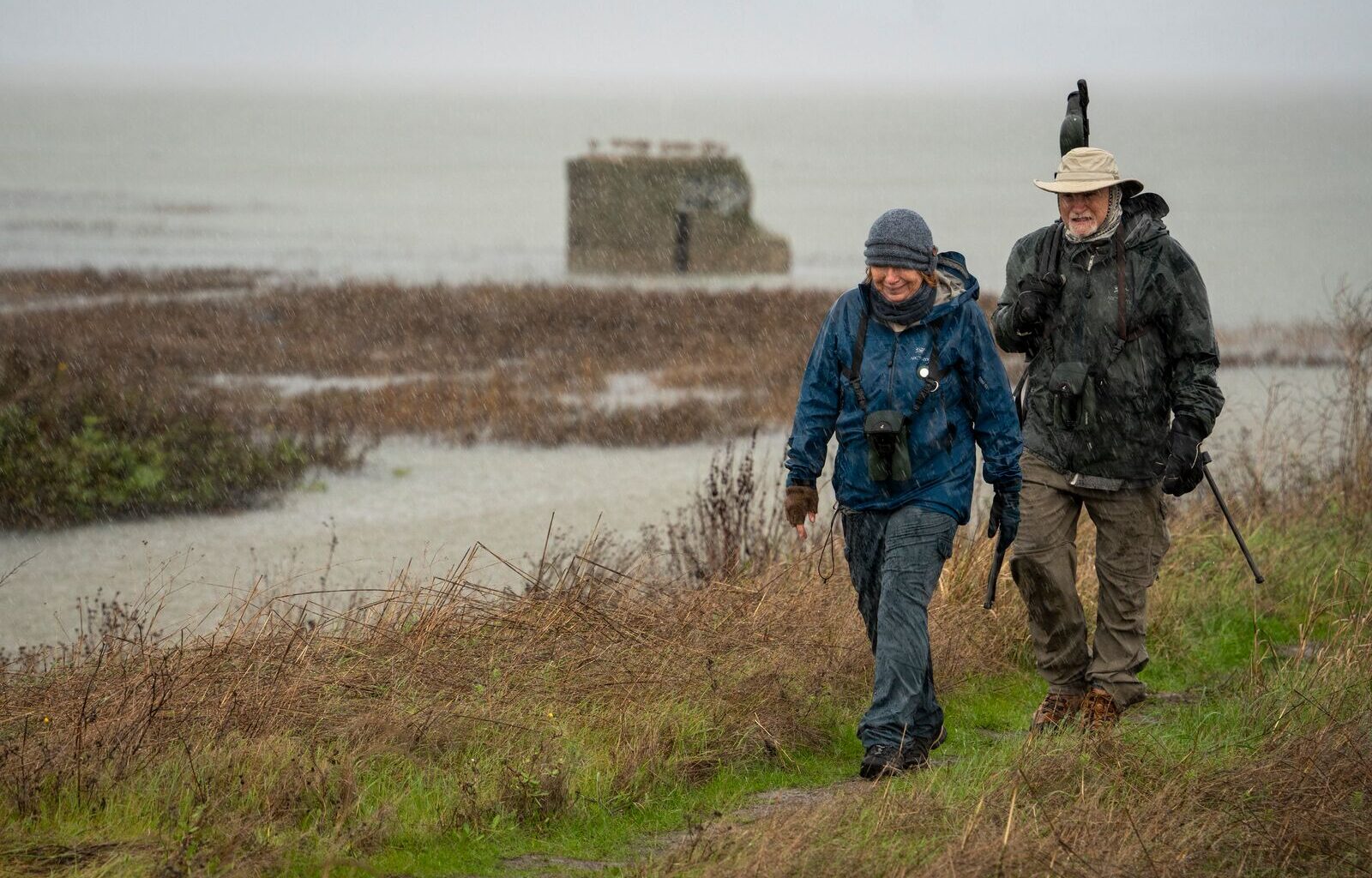
The National Weather Service has issued a coastal flood advisory for Bay Area shoreline cities that’s in effect until 3 p.m. today. Cooler showers and hail are also forecast, with snowfall possible at higher elevations.
East Bay cities expected to experience flooding include Oakland, Richmond, and Berkeley. Water levels could rise up to 1.2 feet above the ground in low-lying areas near shorelines and tidal waterways, the National Weather Service said, flooding public areas such as parking lots, parks and roads, though only isolated road closures are expected.
Residents are advised to set aside extra time for travel and to avoid driving around barricades or through water of unknown depth.
Airport travel could also be impacted, with a weather warning in effect until 8 p.m. Tuesday evening for San Francisco International Airport, where “cloud to ground lightning” is possible along with wind gusts up to 40 mph.
There is also a small craft advisory in effect until 3 a.m. Wednesday, including on San Pablo Bay.
Sandbag fill locations
Oakland residents can get up to 10 free sandbags and 20 feet of plastic sheeting at the locations below. Bring proof of residency like a photo ID or utility bill.
Municipal Service Center (7101 Edgewater Dr.)
Monday to Friday, 8 a.m. – 4 p.m.
Saturday and Sunday, 8 a.m. – 4:30 p.m.
Drainage Services Facility (5921 Shepherd Canyon Rd.)
Monday to Friday, 7 a.m. – 3:30 p.m.
In the past 24 hours, according to the National Oceanic Atmospheric Administration, Oakland has received 1.26 inches of rain. The city has received nearly 3 inches of rain over the past six days.
Monday’s rain is part of a continuing powerful winter storm carrying treacherous thunderstorms, high winds and heavy snow in mountain areas.
The storm has wreaked havoc on roadways spanning from Sonoma County to the Sierra Nevada. Traffic was halted temporarily in both directions on I-80 near the Nevada state line due to spinouts and crashes, the California Department of Transportation reported.
Forecasters said the western slope of the Sierra Nevada, northern Shasta County — including portions of Interstate 5 — and parts of the state’s Coast Range could see up to 8 feet (2.4 meters) of snow before the storm moves through late Wednesday. The heavy snow, wind and low visibility could also make travel conditions dangerous to near impossible, forecasters added.
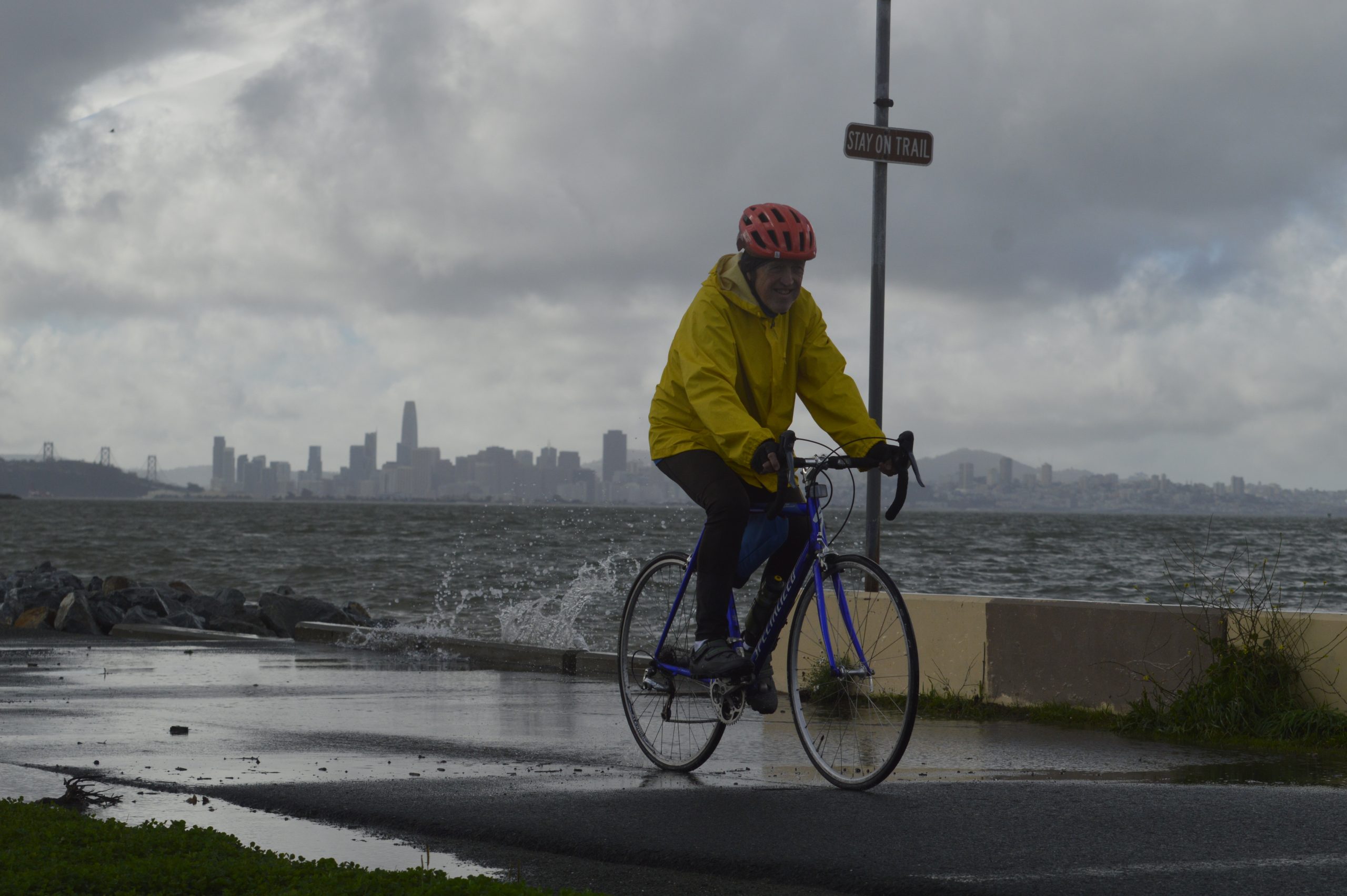 A cyclist braves a waterlogged path along Berkeley’s waterfront on Jan. 3, 2026. Credit: Bentham Paulos
California’s Office of Emergency Services said it was placing fire and rescue personnel and resources in areas most at risk for flooding, mud and debris flows.
The latest storm comes amid a snow drought across much of the American West, with snow cover and depth measuring at the lowest levels scientists have seen in decades. Most states saw half their average precipitation or less in January, though California fared better others due to heavy rains in December.
The Associated Press contributed to this report.
“*” indicates required fields