
Keep that umbrella handy, Southern California — this week’s stormy winter weather isn’t over just yet.
Another storm system is expected to move through our region tonight, bringing even lower snow levels to Southern California’s mountains, including Big Bear Valley.
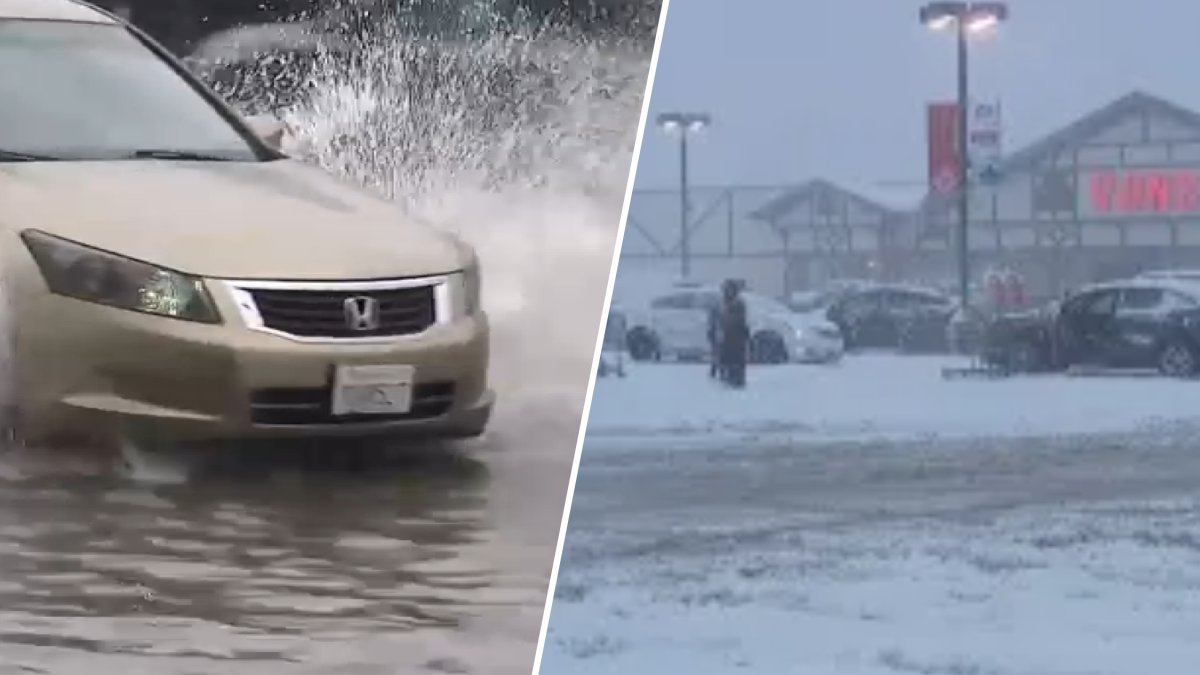
Another round of rain is on the way after Monday’s storm. This video was broadcast on the NBC4 News at 5 a.m. on Feb. 17, 2026.
Here’s the timeline for this next rainy (and snowy) round:
Tuesday, Feb. 17
According to NBC Los Angeles meteorologist Belen De Leon, on-and-off showers are expected throughout the day, with the chance of light rain increasing around sunset.
The brunt of the storm is expected to move into Southern California overnight and into Wednesday morning. A Flood Watch is in effect through late Tuesday for Ventura and Los Angeles counties, as well as the Malibu coast, where heavy showers and thunderstorms could cause flash flooding.
De Leon said these are the peak times for overnight rain:
Ventura County: 10 p.m. to 2 a.m.
Los Angeles County: 11 p.m. to 2 a.m.
Orange County: 1 a.m. to 3 a.m.
Inland Empire: 1 a.m. to 4 a.m.
This storm is expected to bring between 0.25 and 1 inch of rain to the coasts and valleys, and up to 2 inches of rain in the mountain, De Leon said.
This second storm system will also drop colder air and lower snow levels to 3,500-4,000 feet through Wednesday morning — adding another potential boost for tourism next weekend in communities like Big Bear, which got its first snow of the season on Monday, Feb. 16.
Businesses have been waiting for the snow for weeks as fresh powder is good for the local economy. Christian Cázares reports for the NBC4 News at 4 p.m. on Monday, Feb. 16, 2026.
The National Weather Service has issued a Winter Storm Warning in the San Bernardino County mountains — including Big Bear Lake, Wrightwood, and Lake Arrowhead — through 10 p.m. Thursday.
The snowy conditions could create travel hazards on mountain passes, including the Grapevine, so motorists should take precautions.
If you’re traveling to the local mountains, make sure you have chains on your tires.
LA residents weren’t the only ones having to navigate through flooded streets during Monday’s heavy rainfall. This video was broadcast on the NBC4 News at 5 a.m. on Feb. 17, 2026.
Wednesday, Feb. 18
The storm should wrap up by Wednesday’s morning commute, but flooding and slippery roads are still possible.
In the mountains, heavy snow will continue through Thursday. De Leon said additional snow totals are expected through Thursday:
1–4 inches from 3,500 to 4,500 feet, including I‑5 over the Grapevine
6–12 inches from 5,000 to 6,000 feet
12–18 inches above 6,000 feet
Some elevations above 6,000 feet may get 1-2 feet of extra snow, too.
Another storm is on the way as business owners are still dealing with flooding from Monday’s rain. Lauren Coronado reports for the NBC4 News at 5 a.m. on Feb. 17, 2026.
Thursday, Feb. 19
Another round of early morning rain is expected on Thursday, plus colder temps with a high of 57 degrees and more afternoon showers. More mountain snow is expected on Thursday, too.
Friday, Feb. 20
The storm should clear by Friday, leading to partly cloudy conditions and warmer temps.
Saturday, Feb. 21-Sunday, Feb. 22
NBCLA Meteorologist Melissa Magee said our region should remain dry through the weekend warm-up.
De Leon said another storm may be on the way next week.