

Last updated: Wednesday, February 18, 2026 8:04PM GMT

LOS ANGELES (KABC) — The second storm to hit Southern California this week has now passed through, leaving behind damage in several neighborhoods, but the wet weather isn’t over just yet.
Powerful thunderstorms, wind and rain battered the region overnight, toppling over trees and leading to water rescues.
Yet another round of rain is also expected Thursday, so you may want to keep the rain boots and umbrellas out.
Get the latest storm timeline and developments from across the region below:
Key Headlines
Here’s how the news is developing.

Conditions dry out Wednesday, but more rain on the way
Southern California will get another break from the wet weather Wednesday, but the region isn’t in the clear yet.
As several neighborhoods asses damage left behind by strong wind and rain, the region is bracing for another round of rain.
Los Angeles and Southern California is getting hit with a powerful storm system that is bringing rain and snow most of the week.
The third storm of the week will move in around mid-morning on Thursday, bringing yet another round of rain and snow.
Feb 18, 2026, 1:18 AM GMT
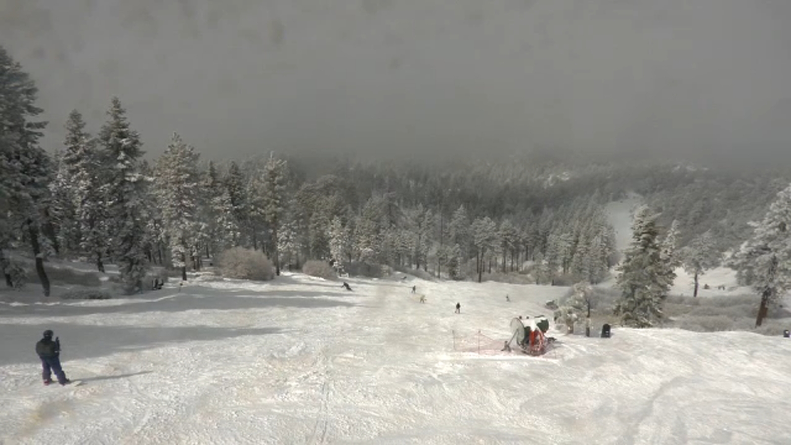
Big Bear expected to get 30 inches of snow this week
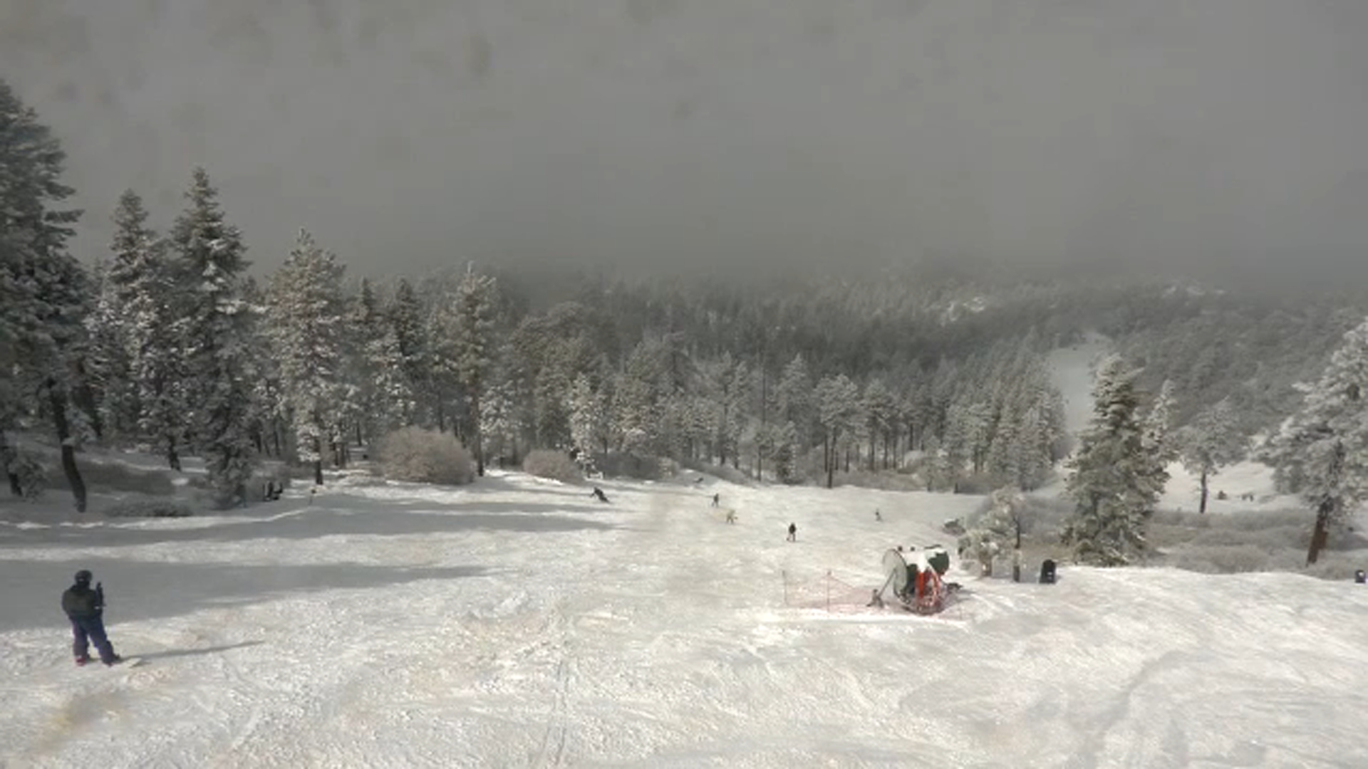
After a winter with little snowfall, communities in the San Bernardino Mountains saw conditions shift as a storm on Monday delivered measurable snow — with more expected later in the week.
According to Big Bear Mountain Resort, the area is forecasted to get 30 inches of snow this week alone. The storms should clear out by the end of the week, making for a great ski weekend.
Winter storm warnings and alerts remain in effect across the region.
Transportation officials urged caution for anyone planning a mountain trip.
“Chain control is in effect, and these chain requirements levels change. We expect some more weather conditions this week,” said Jennifer Ceron with Caltrans District 8.
Caltrans advised drivers to check road and traffic conditions through its QuickMap app before heading into the mountain communities.
Feb 17, 2026, 8:46 PM GMT
LA extends evacuation warnings for burn scar areas
The city of Los Angeles extended the current evacuation warnings for those living near the Palisades, Hurst and Sunset burn areas.
The warnings will remain in place “until further notice,” the city said.
This comes as more rain is expected in the next coming days.
Feb 17, 2026, 4:28 PM GMT
SoCal getting brief lull but more rain coming
Southern California will see a brief break from the rain Tuesday, but two more storms will move through this week.
The atmosphere is still unstable, meaning light scattered showers are still possible.
Los Angeles and Southern California is getting hit with a powerful storm system that is bringing rain and snow most of the week.
While the sun might peak through by Tuesday morning, don’t get used to it. Another round of storms moves in Tuesday night into Wednesday morning.
Here’s the latest forecast.
Feb 17, 2026, 4:24 PM GMT
San Bernardino Mountains get fresh snow
Snow came down overnight in the San Bernardino Mountains.
Roads are covered with fresh powder and ice, so if you’re heading up chains are a must.
All major roads are open, for now.
Snow came down overnight in the San Bernardino Mountains. Roads are covered with fresh powder and ice.
Meanwhile, if you planned to take a hike, Mt. Baldy trails are closed.
Hikers recently died there so authorities are taking no chances.
Trails closed through Feb. 23 include Mt. Baldy, Baldy Bowl, Devil’s Backbone, Three T’s, Icehouse Canyon, Chapman and Ontario Peak.