
The rainy weather in the Fresno area will be followed by more on-and-off storms, bringing plenty of snow that will help replenish the snowpack.
Carlos Molina, a meteorologist at the National Weather Service office in Hanford, said the rainfall from earlier this week is expected to be followed by a quiet period of scattered showers Wednesday. Another storm will hit the area Thursday, which may yield between a quarter-inch to a half-inch of rain, Molina said.
The mountains can get up to another foot of snow from Thursday’s storm, Molina said.
While the storms will clear out by Friday or Saturday, Molina said another system is expected to hit Fresno by Sunday night or Monday morning.
Rain in Fresno began late Sunday and yielded about 0.9 inches of rainfall, Molina said. He said snow levels dropped to below 4,000 feet of elevation, just under Shaver Lake.
Areas in elevations of 6,000 feet or higher saw two-to-three feet of snow in the last 24 hours, while some areas near Yosemite National Park got nearly four feet of snow, Molina said.
Molina said this is helping to replenish the snowpack. While water runoff may raise rivers a bit, Molina said these storms are coming after a dry period and aren’t presenting much of a flood risk. Additionally, Molina said Fresno is experiencing a winter storm from the Gulf of Alaska, bringing colder air that doesn’t hold much moisture.
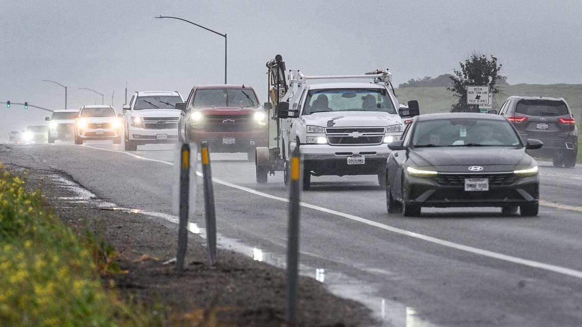
Traffic travels south on Freeway 41 south of Avenue 15 in Madera County as a heavy downpour hits the area on Tuesday, Feb. 17, 2026. CRAIG KOHLRUSS ckohlruss@fresnobee.com
This story was originally published February 17, 2026 at 3:46 PM.
Related Stories from Fresno Bee