
Another round of rain and snow is expected to soak the Northern California region on Thursday.The KCRA 3 weather team is issuing an Impact Day for Thursday because of how rain and snow could affect travel and outdoor activities. A third storm with snow levels down to 1,000 feet will hit the region early Thursday morning. It will be another day with long travel delays and shoveling for many on the West Slope. Snow has been heavy enough that highways in and out of the Sierra repeatedly close due to spinouts and snowfall. Even though snow accumulations will slow down significantly in the Sierra, all roads above 4,000 feet will likely still be a mess.Below is a breakdown of what the KCRA 3 weather team is expecting. Snow Snow will become more widespread again starting early Thursday morning. This is when the snow level will drop to 1,000 feet. Auburn, Cameron Park, Grass Valley, Sonora and Groveland all could see some slushy accumulation, mostly on the grass.Snow will stick to pavement at and above 2,000 feet. Places around 3,000 feet could see 3-6 inches of snow, while elevations around 4,000 feet may pick up 12-18 inches of snow.Elevations above 5,000 feet may receive up to 2 feet of snow.Friday and Saturday will be dry.Rain Rain will be more widespread again early Thursday morning. Most places will see an additional quarter-inch to a half-inch of rain Thursday morning. The afternoon will be showery with rain chances dropping through the evening. Friday and Saturday will be dry. See more coverage of top California stories here | Download our app | Subscribe to our morning newsletter | Find us on YouTube here and subscribe to our channel
SACRAMENTO, Calif. —
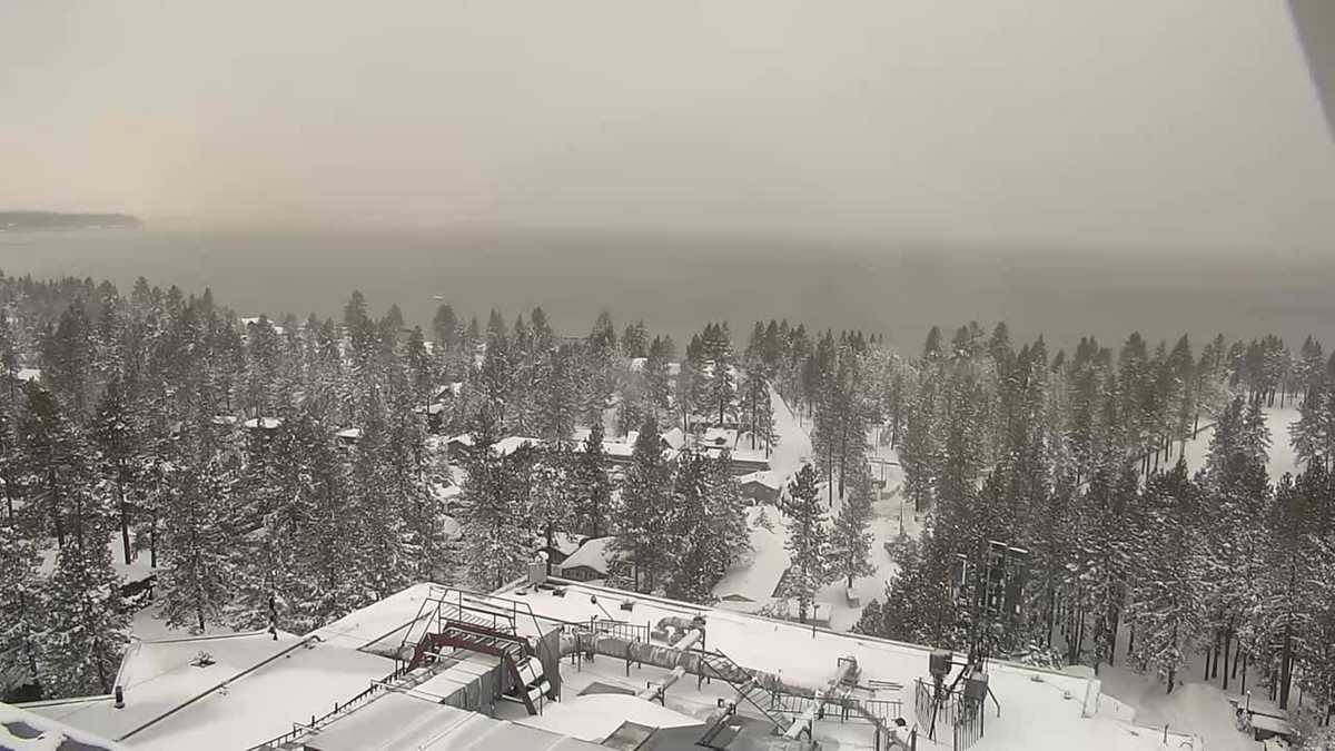
Another round of rain and snow is expected to soak the Northern California region on Thursday.
The KCRA 3 weather team is issuing an Impact Day for Thursday because of how rain and snow could affect travel and outdoor activities. A third storm with snow levels down to 1,000 feet will hit the region early Thursday morning. It will be another day with long travel delays and shoveling for many on the West Slope.
Snow has been heavy enough that highways in and out of the Sierra repeatedly close due to spinouts and snowfall. Even though snow accumulations will slow down significantly in the Sierra, all roads above 4,000 feet will likely still be a mess.
Below is a breakdown of what the KCRA 3 weather team is expecting.
Snow
Snow will become more widespread again starting early Thursday morning. This is when the snow level will drop to 1,000 feet. Auburn, Cameron Park, Grass Valley, Sonora and Groveland all could see some slushy accumulation, mostly on the grass.
Snow will stick to pavement at and above 2,000 feet. Places around 3,000 feet could see 3-6 inches of snow, while elevations around 4,000 feet may pick up 12-18 inches of snow.
Elevations above 5,000 feet may receive up to 2 feet of snow.
Friday and Saturday will be dry.
Rain
Rain will be more widespread again early Thursday morning. Most places will see an additional quarter-inch to a half-inch of rain Thursday morning. The afternoon will be showery with rain chances dropping through the evening.
Friday and Saturday will be dry.
See more coverage of top California stories here | Download our app | Subscribe to our morning newsletter | Find us on YouTube here and subscribe to our channel