
SAN DIEGO (FOX 5/KUSI) — More heavy rainfall is expected to hit San Diego County early Wednesday morning, with wind and high-surf advisories issued throughout the region.
The wind advisory for coastal and inland areas is in place from 8 p.m. Tuesday to 8 a.m. Wednesday. There is also a high-surf advisory that began on Monday and is slated to be lifted Friday night, with waves expected to reach 4-10 feet.
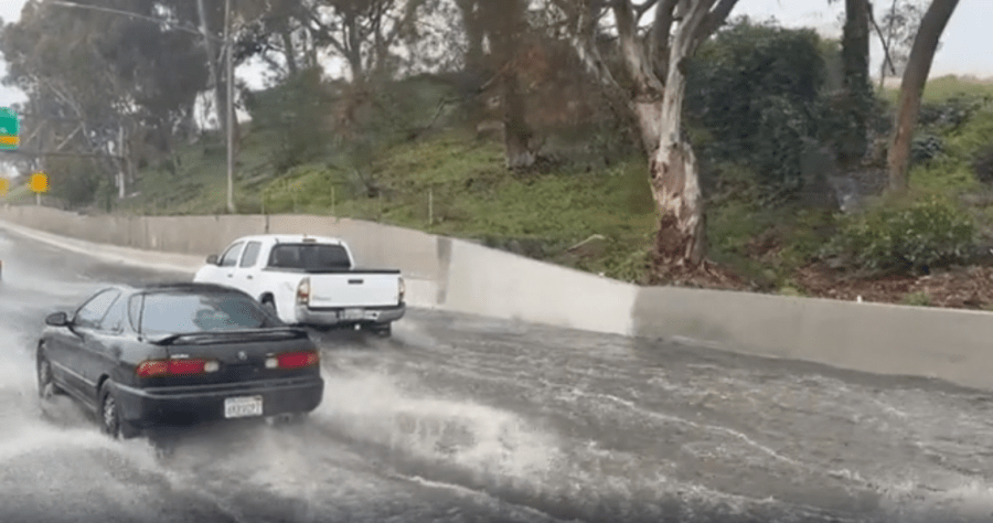
The first leg of the Pacific storm touched down in San Diego on Monday and continued overnight into Tuesday, with over an inch of rainfall reported throughout several areas of the county.
More weather: ➡️ Forecast | ⚠️ Alerts | 🗺️ Live Radar | 📧Newsletter
The second leg of the storm is pushing in from the north and is expected to hit North County late Tuesday night. Strong showers and possible thunderstorms are expected to hit San Diego around 4:30 a.m. Wednesday.

Radar image of rain moving through San Diego County on Tuesday at 10 p.m., hours before heavy rainfall is expected (KUSI).
By Thursday afternoon, around 3-4:30 p.m., the bulk of the rain should move through the county, with clear skies expected for the weekend.

A winter storm warning is also in effect until 10 p.m. Thursday, with 3-8 inches of snow expected around the San Bernardino County Mountains.
City crews will monitor river levels and storm channels to prevent flooding during the rainy stretch. Drivers are encouraged to avoid areas prone to flooding, and flood-prone roads will be closed if needed.
The city has also provided tips to help residents prepare, including cleaning drains and gutters, as well as other helpful advice. Sandbags to help prevent flooding are also available throughout the county.
Copyright 2026 Nexstar Media, Inc. All rights reserved. This material may not be published, broadcast, rewritten, or redistributed.
For the latest news, weather, sports, and streaming video, head to FOX 5 San Diego & KUSI News.