
After a brief reprieve from storms, the atmosphere is beginning to stir again. Saturday will stay dry for most of the Bay Area, but it won’t be calm. Gusty winds ramp up through the day, and by Sunday, rain and drizzle chances start to creep back into the forecast – with a relatively warm atmospheric river arriving on Monday.
A very cold air mass will remain over the Bay Area through Sunday. Upper air observations continue to show below freezing temperatures only a few thousand feet above the surface, well below the average for late February.
We won’t see any temperature records, but it does mean cold mornings and cool afternoons. High temperatures on Saturday will be running a good 10 degrees below normal. Most places will be stuck in the mid- to upper 50s, save for maybe a few 60 degree readings on the bayside parts of the Peninsula and East Bay.
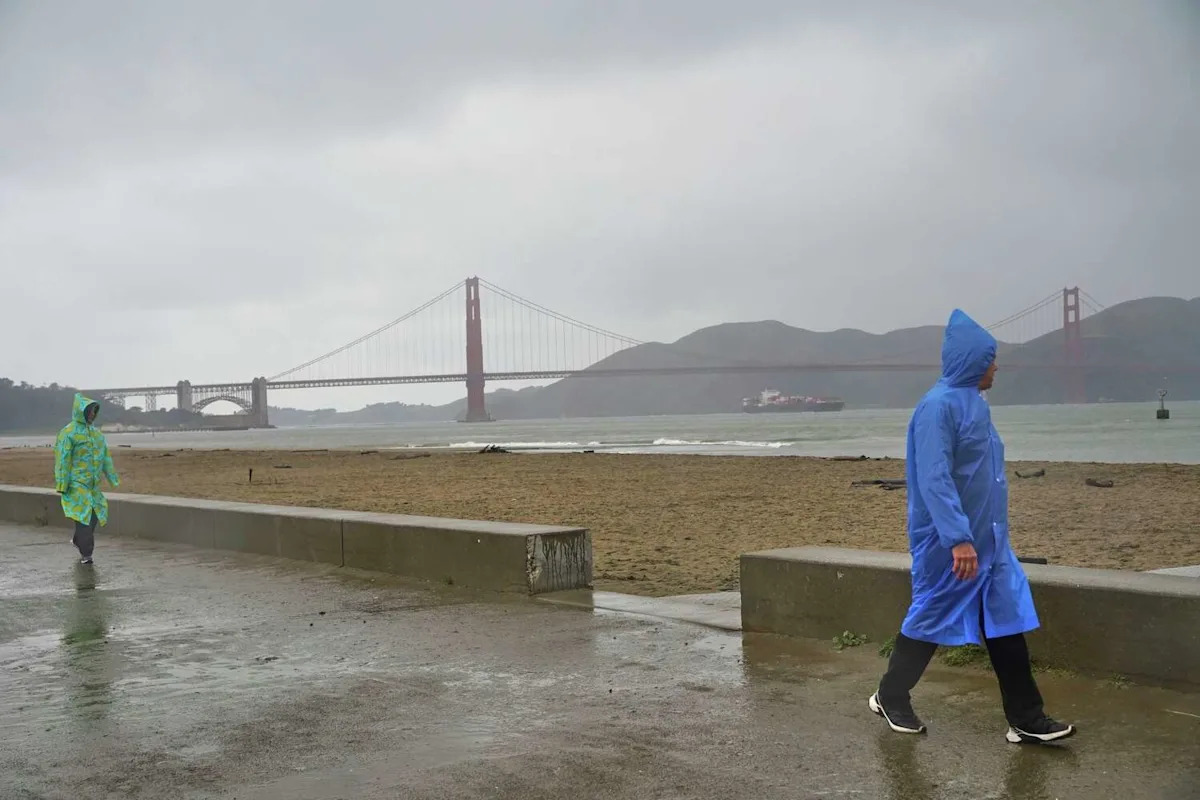
Strong southerly winds will develop early Saturday morning and persist through much of the day as the pressure gradient tightens ahead of a storm system coming into the Pacific Northwest. Gusts of 20 to 35 mph are likely in San Francisco, along the Peninsula and across the North Bay and East Bay. At elevations above 500 feet, gusts could reach 40 to 45 mph.
Over the coastal waters, conditions will be rough. A small craft advisory remains in effect through the weekend, with choppy seas and hazardous boating conditions expected.
Winds should ease somewhat Saturday night, but the overall pattern does not quiet down for long.
By Sunday morning, clouds will thicken across the North Bay as the first of two storm systems comes in from the Pacific Northwest and brushes Northern California. Light rain is likely to develop north of the Golden Gate by late morning, with drizzle or spotty showers possible farther south into San Francisco and the East Bay through the afternoon. Rainfall totals Sunday look modest and most locations won’t see any significant accumulation.
The storm system to watch enters the picture on Monday.
Forecast models show a developing low pressure system off the Pacific Northwest tapping into a deeper plume of Pacific moisture on Monday. A moderate atmospheric river is likely to develop late Monday into Tuesday, sending a surge of subtropical moisture towards the California coast.
Given the southwest orientation of the moisture, this would be a warm storm system, potentially dropping rain at high elevations of the Sierra. Rain on top of freshly fallen snow can compound flooding issues.
In the Bay Area, the coastal ranges would see the highest rainfall totals, potentially 2 to 3 inches. San Francisco and the rest of the region would see rainfall totals in the 1 to 1.5 inch range. The rain is expected to be widespread late on Monday and persist episodically through Tuesday, accompanied by breezy conditions.
This article originally published at California to get atmospheric river after cold, blustery weekend.