

A pair of flood watches covering broad stretches of Northern California and adjacent Southwest Oregon are urging residents to be ready to act as heavy rain and rapid snowmelt threaten creeks, streams and flood‑prone areas through Tuesday night and into Wednesday, according to the National Weather Service (NWS).
California’s latest round of heavy rain is fueled by an atmospheric river, a type of storm known for heavy rain and snow totals along with strong winds. Forecasters say this system is responsible for the warm, moisture‑rich surge now drenching Northern California, where a series of Pacific storms and a fresh atmospheric river are delivering 1 to 3 inches of rain to the region and elevating flood risk on already saturated ground. Numerous flood watches are in place for inland areas, with flood warnings issued along the coast as the system continues to drench the region.
“With the same region having received 1-3 inches of rain last week, already saturated soils will increase the likelihood of flooding,” AccuWeather told Newsweek in an email.

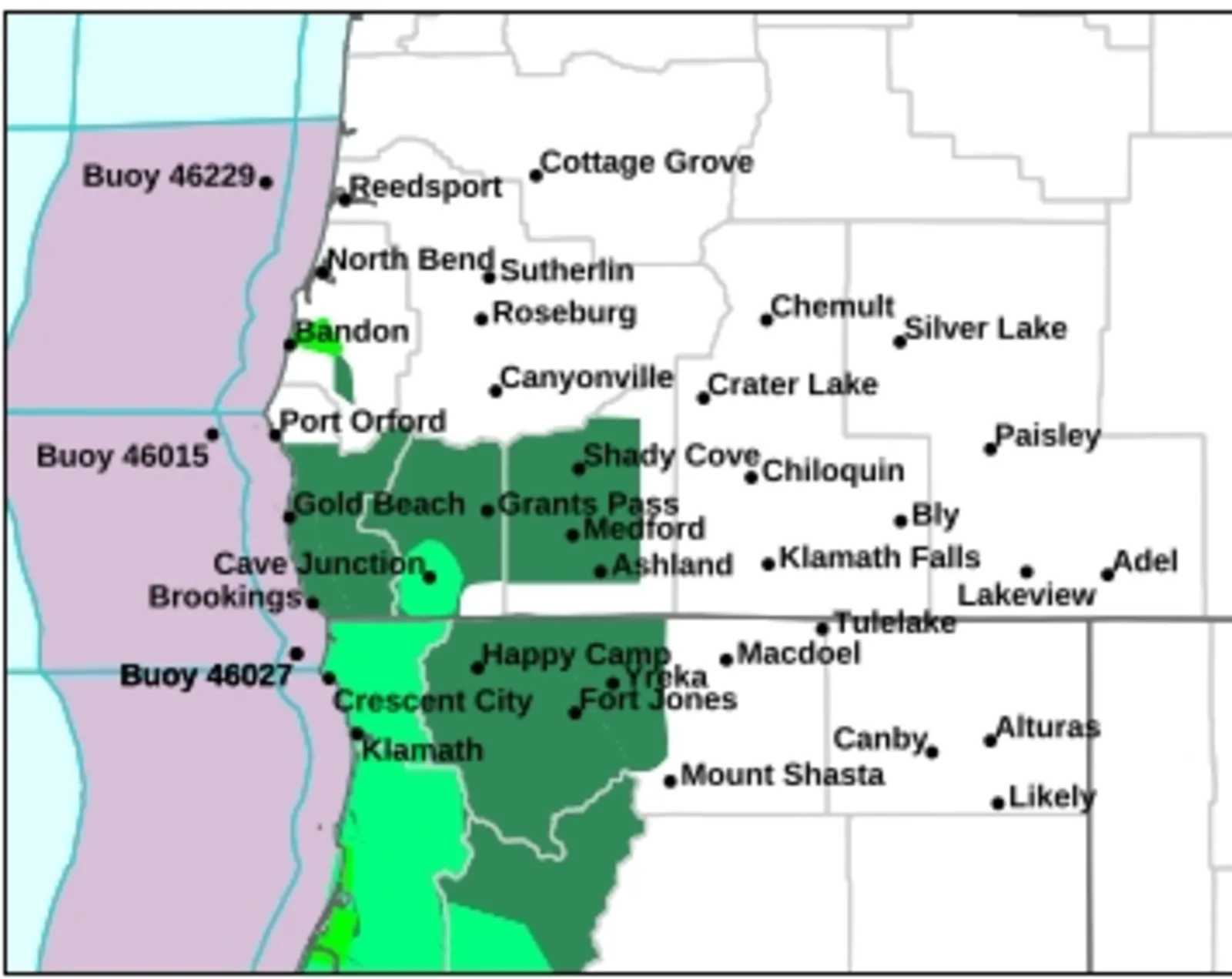
The NWS office in Medford, Oregon, issued a flood watch for the following counties in its forecast region: Coos, Curry, Josephine, Jackson, western and central Douglas, and western Siskiyou. The flood watch includes “all small drainages, creeks, and streams, especially those where melting snow may contribute to high run off,” the watch said.
“You should monitor later forecasts and be alert for possible Flood Warnings,” the watch said. “Those living in areas prone to flooding should be prepared to take action should flooding develop.”
It will remain in effect through Wednesday evening.
Farther south, the NWS office in Eureka, California, says a separate flood watch remains in effect until 10 p.m. Tuesday for Del Norte, Humboldt, Trinity and Mendocino Counties. A prolonged stretch of moderate to heavy rain is expected to increase the risk of flooding as well as rock and landslides along roadways.
Officials in both regions advise residents in flood‑prone zones to stay alert for potential flood warnings and be prepared to take action if conditions worsen. Forecasters emphasize that rapidly changing runoff conditions—especially where recent snowfall is melting—could prompt sudden rises in streams and creeks.
More severe flood warnings have been issued closer to the coast. “Flooding is occurring or is imminent,” NWS Medford said in regards to the Coquille River at Coquille, affecting Coos County. “Most flood related deaths occur in automobiles. Do not attempt to cross water covered bridges, dips, or low water crossings. Never try to cross a flowing stream, even a small one, on foot. To escape rising water find another route over higher ground.”
People living across the impacted areas are urged to stay current with the storm and monitor local forecasts as heavy rain continues.