
Northern California forecast: Cooler Sunday with a chance of showers
A Pacific storm system is moving onshore in the Pacific Northwest and will dial back the record warmth.
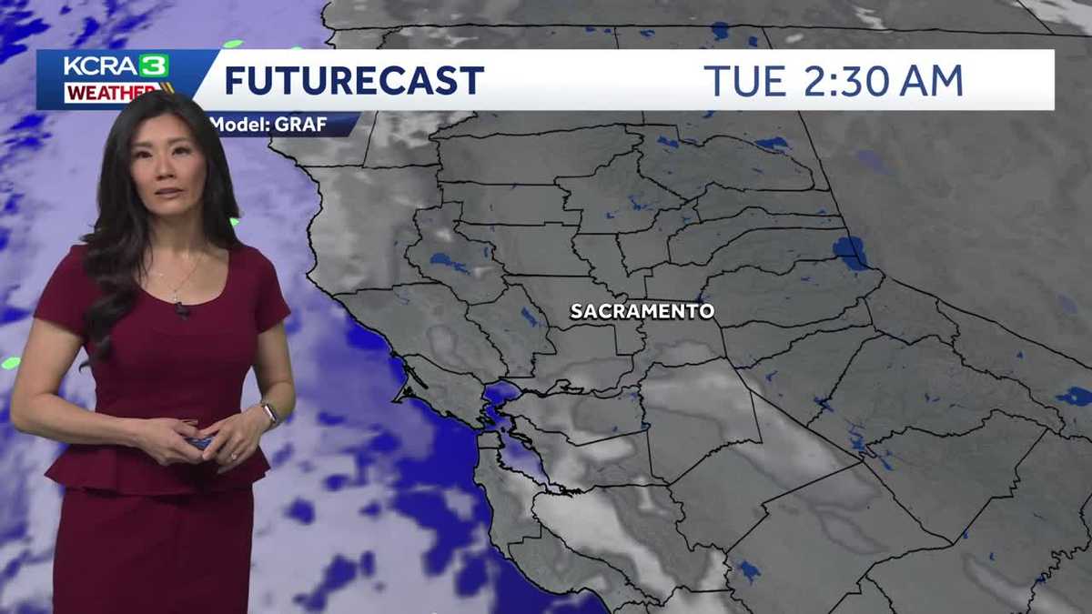
DID LOOK A LITTLE STORMY FROM TIME TO TIME. BUT NO STORM HERE IN SACRAMENTO. JUST THAT MUGGY WARMTH. WE GOT UP TO 75 DEGREES TODAY. ONE MORE DEGREE AND WE WOULD HAVE TIE THE RECORD HIGH SET BACK IN 1889. NOW STOCKTON WAS A TOUCH WARMER AT 79 DEGREES, BUT THEIR DAILY RECORD HIGH WAS ALSO MUCH WARMER AT 83 MODESTO YOU HAVE A NEW DAILY RECORD HIGH IN THE BOOKS, WITH A OBSERVED HIGH OF 81 DEGREES. THE OLD RECORD, NOW 80 DEGREES, SET BACK IN 2020. SO WE ARE ENDING THE MONTH WITH ANOTHER ORANGE BOX, JUST LIKE 75% OF THE DAYS, REPRESENTING TEMPERATURES THAT WERE ABOVE NORMAL. THE ONLY COLD STRETCH WAS LAST WEEK, WHEN THAT MAJOR WINTER STORM BARRELED THROUGH. BUT ASIDE FROM THAT, IT’S BEEN A PRETTY WARM FEBRUARY. TAKE ALL THESE NUMBERS AND YOU AVERAGE IT TO 61.1 DEGREES. WE’RE RUNNING 2.7 DEGREES WARMER THAN THE NORMAL AVERAGE HIGH FOR THE MONTH OF FEBRUARY. NOW, WHEN WILL WE GET BACK ABOVE NORMAL? NOT SEEING IT ANYTIME SOON. MAYBE ON MONDAY WE GET DOWN TO 64 DEGREES. BUT ASIDE FROM THAT, TEMPERATURES DO HOVER ABOVE THE NORMAL. WE DO DROP CLOSER TO NORMAL THANKS TO A STORM MOVING THROUGH THE PACIFIC NORTHWEST. CURRENTLY, HERE IS THE SAID STORM STORM SYSTEM, AND HERE ARE SOME STORMS MOVING THROUGH THE VERY NORTHERN REACHES OF CALIFORNIA. WE HAVE SOME THUNDER AND LIGHTNING STILL POPPING UP JUST SOUTH OF REDDING, BUT FOR THE MOST PART, THESE STORMS HAVE STAYED NORTH OF OUR VIEWING AREA. WOULDN’T RULE OUT ANOTHER STORM OVERNIGHT, ESPECIALLY IN THE NORTHERN SIERRA. TOMORROW, HOWEVER, STORM ACTIVITY WILL PICK UP AGAIN IN THE AFTERNOON. AS WE WARM UP, WE HAVE LINGERING STORMS THROUGHOUT THE AFTERNOON AND EVENING. NOW, AS THE SYSTEM FINALLY MOVES ONSHORE MONDAY MORNING WE HAVE A BATCH OF RAIN DOES MOVE THROUGH SO YOU CAN PREPARE FOR SOME SCATTERED SHOWERS FOR YOUR MONDAY MORNING COMMUTE, AND MAYBE A FEW MORE DROPS OF RAIN THROUGH YOUR MONDAY, ESPECIALLY IN THE FOOTHILLS AND THE SIERRA. WE DRY OUT FOR YOUR THURSDAY, BUT WE’RE LOOKING AT MORE MIDWEEK SHOWERS ON WEDNESDAY. AND THIS SYSTEM IS UNIQUE BECAUSE IT’S GOING TO LEAVE BEHIND AN EXTENDED PERIOD OF BREEZY DAYS. AND HERE’S WHY. THE SYSTEM MOVES ONSHORE. THE FRONT BRINGS A FEW SHOWERS WEDNESDAY. IT SINKS INTO THE INTERMOUNTAIN WEST BEFORE SITTING BACK OUT WEST TO THE SOUTHWEST. AND WHAT THAT DOES IS IT DRIVES IN THE WINDS OUT OF THE NORTH, AND WE HAVE BREEZES THURSDAY, FRIDAY, POSSIBLY EVEN LINGERING INTO SATURDAY. NOW THESE WINDS ARE GOING TO BE COMING OUT OF THE NORTH, SO
Northern California forecast: Cooler Sunday with a chance of showers
A Pacific storm system is moving onshore in the Pacific Northwest and will dial back the record warmth.

Updated: 7:46 PM PST Feb 28, 2026
A storm system is moving onshore in the Pacific Northwest and will dial back the record warmth.Sunday’s highs in the Valley will be in the mid to upper 60s. Temperatures in the foothills will peak in the low 60s, with highs returning to near 50 degrees in the Sierra.As the low slowly moves onshore, scattered showers are possible in far Northern California and over the Sierra and foothills. Thunder and lightning are most likely to our north. As the center of the low passes, more showers will move in Monday morning, with a little rain possible during the Monday morning commute. We’ll dry out through the rest of the day and look forward to a drier but cooler rest of the week as Valley highs drop back to the mid to upper 60s.Another storm system will swing through Wednesday, bringing back some showers, mainly in the foothills and Sierra. Breezy north winds will trail behind the system as the low wraps back into the Southwest.Though the second half of the week will be breezy, high temperatures will climb due to the northerly winds. Highs will edge back into the 70s next weekend.
SACRAMENTO, Calif. —
A storm system is moving onshore in the Pacific Northwest and will dial back the record warmth.
Sunday’s highs in the Valley will be in the mid to upper 60s. Temperatures in the foothills will peak in the low 60s, with highs returning to near 50 degrees in the Sierra.
As the low slowly moves onshore, scattered showers are possible in far Northern California and over the Sierra and foothills. Thunder and lightning are most likely to our north. As the center of the low passes, more showers will move in Monday morning, with a little rain possible during the Monday morning commute. We’ll dry out through the rest of the day and look forward to a drier but cooler rest of the week as Valley highs drop back to the mid to upper 60s.
Another storm system will swing through Wednesday, bringing back some showers, mainly in the foothills and Sierra. Breezy north winds will trail behind the system as the low wraps back into the Southwest.
Though the second half of the week will be breezy, high temperatures will climb due to the northerly winds. Highs will edge back into the 70s next weekend.